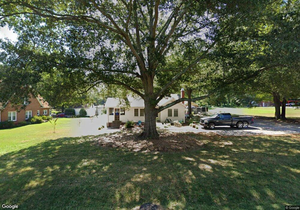
885 W Highway 27 Lincolnton, NC 28092
Estimated Value: $205,000 - $238,000
3
Beds
1
Bath
1,204
Sq Ft
$181/Sq Ft
Est. Value
About This Home
This home is located at 885 W Highway 27, Lincolnton, NC 28092 and is currently estimated at $218,093, approximately $181 per square foot. 885 W Highway 27 is a home located in Lincoln County with nearby schools including Norris S. Childers Elementary School, West Lincoln Middle, and West Lincoln High School.
Ownership History
Date
Name
Owned For
Owner Type
Purchase Details
Closed on
Apr 20, 2023
Sold by
Gof House Llc
Bought by
Richardson Michael Scott and Ray Herring Max
Current Estimated Value
Purchase Details
Closed on
Mar 27, 2018
Sold by
Odell Roy Llc
Bought by
Gof House Llc
Purchase Details
Closed on
Aug 31, 2015
Sold by
Odell Barnes Llc
Bought by
Odell Roy Llc
Purchase Details
Closed on
Jun 22, 2015
Sold by
Deutsche Bank National Trust Co
Bought by
Odell Barnes Llc
Purchase Details
Closed on
Feb 25, 2015
Sold by
Adams Sherrie and Adams Barry
Bought by
Deutsche Bank National Trust Co and New Century Home Equity Loan Tr 2005 1
Purchase Details
Closed on
May 22, 1992
Bought by
Lovelace Ronald Dean and Sherry Adams
Create a Home Valuation Report for This Property
The Home Valuation Report is an in-depth analysis detailing your home's value as well as a comparison with similar homes in the area
Home Values in the Area
Average Home Value in this Area
Purchase History
| Date | Buyer | Sale Price | Title Company |
|---|---|---|---|
| Richardson Michael Scott | $34,000 | None Listed On Document | |
| Richardson Michael Scott | $34,000 | None Listed On Document | |
| Gof House Llc | $15,000 | None Available | |
| Odell Roy Llc | -- | None Available | |
| Odell Barnes Llc | $6,500 | Fidelity Land Title Agency | |
| Deutsche Bank National Trust Co | $23,650 | None Available | |
| Lovelace Ronald Dean | $14,000 | -- |
Source: Public Records
Tax History Compared to Growth
Tax History
| Year | Tax Paid | Tax Assessment Tax Assessment Total Assessment is a certain percentage of the fair market value that is determined by local assessors to be the total taxable value of land and additions on the property. | Land | Improvement |
|---|---|---|---|---|
| 2025 | $1,075 | $152,214 | $29,428 | $122,786 |
| 2024 | $1,055 | $152,214 | $29,428 | $122,786 |
| 2023 | $1,005 | $152,214 | $29,428 | $122,786 |
| 2022 | $682 | $80,457 | $23,542 | $56,915 |
| 2021 | $680 | $74,411 | $23,542 | $50,869 |
| 2020 | $510 | $74,411 | $23,542 | $50,869 |
| 2019 | $526 | $76,758 | $23,542 | $53,216 |
| 2018 | $556 | $65,307 | $20,856 | $44,451 |
| 2017 | $249 | $36,945 | $20,856 | $16,089 |
| 2016 | $249 | $36,945 | $20,856 | $16,089 |
| 2015 | $330 | $36,945 | $20,856 | $16,089 |
| 2014 | $502 | $63,717 | $22,713 | $41,004 |
Source: Public Records
Map
Nearby Homes
- 0 N Carolina 182 Unit CAR4246688
- 1070 N Carolina 182
- 668 Riverside Dr
- 515 Willow St
- 697 S Grove St
- 689 S Grove St
- 681 S Grove St
- 00 Glenn St
- 524 Bonview Ave
- 627 W Main St
- 411 W Sycamore St
- 502 Forney Ave
- 743 Lore Rd
- 776 S Grove St Unit EXT
- 818 Grier St
- 792 Carolina Mill Cir
- 327 Bonview Ave
- 801 N Grove St
- 317 S High St
- 1338 Pell Dr
- 873 W Highway 27
- 903 W Highway 27
- 859 W Highway 27
- 870 Nc Hwy 27 Hwy
- 880 W Highway 27
- 892 W Highway 27
- 870 W Hwy 27 Hwy
- 915 W Highway 27
- 870 W Highway 27
- 851 W Highway 27
- 908 W Highway 27
- 860 W Highway 27
- 841 W Highway 27
- 926 W Highway 27
- 927 W Highway 27
- 848 W Highway 27
- 836 W Highway 150
- 822 W Highway 150
- 169 Hershel Lackey Rd
- 846 W Highway 150