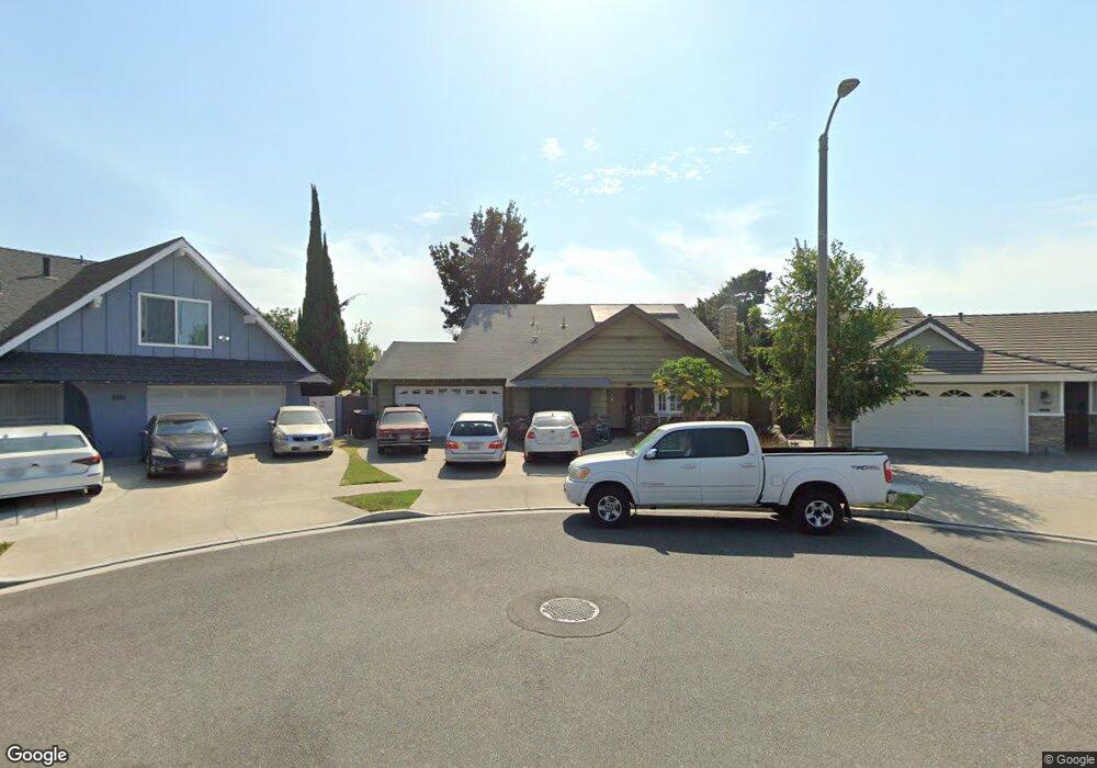
8852 Saint Andrews Ave Westminster, CA 92683
Star View NeighborhoodEstimated Value: $1,265,000 - $1,411,000
4
Beds
3
Baths
2,431
Sq Ft
$543/Sq Ft
Est. Value
About This Home
This home is located at 8852 Saint Andrews Ave, Westminster, CA 92683 and is currently estimated at $1,320,796, approximately $543 per square foot. 8852 Saint Andrews Ave is a home located in Orange County with nearby schools including Star View Elementary, Vista View Middle School, and Ocean View High.
Ownership History
Date
Name
Owned For
Owner Type
Purchase Details
Closed on
Jan 9, 2002
Sold by
Murphy Brian A
Bought by
Virata John B and Virata Josefina M
Current Estimated Value
Home Financials for this Owner
Home Financials are based on the most recent Mortgage that was taken out on this home.
Original Mortgage
$290,400
Outstanding Balance
$119,599
Interest Rate
7.15%
Estimated Equity
$1,201,197
Create a Home Valuation Report for This Property
The Home Valuation Report is an in-depth analysis detailing your home's value as well as a comparison with similar homes in the area
Home Values in the Area
Average Home Value in this Area
Purchase History
| Date | Buyer | Sale Price | Title Company |
|---|---|---|---|
| Virata John B | $363,000 | First American Title Co |
Source: Public Records
Mortgage History
| Date | Status | Borrower | Loan Amount |
|---|---|---|---|
| Open | Virata John B | $290,400 |
Source: Public Records
Tax History
| Year | Tax Paid | Tax Assessment Tax Assessment Total Assessment is a certain percentage of the fair market value that is determined by local assessors to be the total taxable value of land and additions on the property. | Land | Improvement |
|---|---|---|---|---|
| 2025 | $6,376 | $536,251 | $368,352 | $167,899 |
| 2024 | $6,376 | $525,737 | $361,130 | $164,607 |
| 2023 | $6,229 | $515,429 | $354,049 | $161,380 |
| 2022 | $6,133 | $505,323 | $347,107 | $158,216 |
| 2021 | $6,003 | $495,415 | $340,301 | $155,114 |
| 2020 | $5,939 | $490,336 | $336,812 | $153,524 |
| 2019 | $5,842 | $480,722 | $330,208 | $150,514 |
| 2018 | $5,718 | $471,297 | $323,734 | $147,563 |
| 2017 | $5,632 | $462,056 | $317,386 | $144,670 |
| 2016 | $5,412 | $452,997 | $311,163 | $141,834 |
| 2015 | $5,334 | $446,193 | $306,489 | $139,704 |
| 2014 | $5,235 | $437,453 | $300,485 | $136,968 |
Source: Public Records
Map
Nearby Homes
- 15942 Topaz St
- 9132 Dickens Cir
- 15300 Magnolia St Unit 82
- 15300 Magnolia St
- 9202 Dickens Cir
- 9172 Chelsea Cir
- 15281 Dogwood St
- 15110 Henley Dr Unit 51
- 16082 Cache St
- 15065 Henley Dr Unit 1
- 9442 Sean Way
- 8200 Bolsa Ave Unit 166
- 8200 Bolsa Ave Unit 42
- 8200 Bolsa Ave Unit 103
- 9561 Cardinal Ave
- 8200 Bolsa Ave Spc#146
- 9031 Washington Ave
- 16331 Mahogany St
- 15731 Grey Oaks St
- 15121 Van Buren St
- 8842 Saint Andrews Ave
- 15691 Burning Tree St
- 8851 Saint Andrews Ave
- 15671 Burning Tree St
- 15701 Burning Tree St
- 8822 Saint Andrews Ave
- 8841 Saint Andrews Ave
- 8831 Palos Verdes Ave
- 15711 Burning Tree St
- 8821 Saint Andrews Ave
- 8821 Palos Verdes Ave
- 8812 Saint Andrews Ave
- 15651 Burning Tree St
- 8842 Tamarisk Cir
- 8811 Saint Andrews Ave
- 8892 Blackheath Cir
- 8811 Palos Verdes Ave
- 8822 Tamarisk Cir
- 8802 Saint Andrews Ave
- 15641 Burning Tree St
Your Personal Tour Guide
Ask me questions while you tour the home.