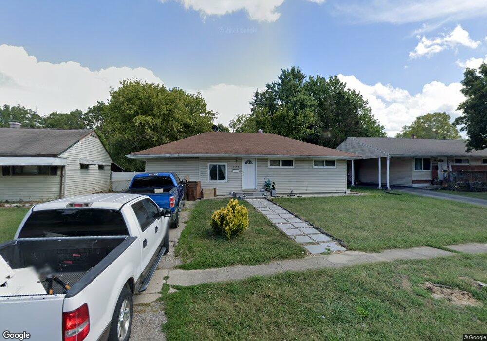
8892 Ebro Ct Cincinnati, OH 45231
Finneytown NeighborhoodEstimated Value: $137,000 - $164,000
3
Beds
1
Bath
1,318
Sq Ft
$117/Sq Ft
Est. Value
About This Home
This home is located at 8892 Ebro Ct, Cincinnati, OH 45231 and is currently estimated at $154,800, approximately $117 per square foot. 8892 Ebro Ct is a home located in Hamilton County with nearby schools including Mt Healthy High School and John Paul II Catholic School.
Ownership History
Date
Name
Owned For
Owner Type
Purchase Details
Closed on
Apr 30, 2014
Sold by
Wilcox Ursula
Bought by
Hilton Capital Group Llc
Current Estimated Value
Purchase Details
Closed on
Oct 11, 2002
Sold by
Eberhard Steven and Eberhard Susan
Bought by
Wilcox Ursula
Purchase Details
Closed on
Dec 18, 2001
Sold by
Hud
Bought by
Eberhard Steven
Purchase Details
Closed on
Jul 26, 2001
Sold by
Fairbanks Lee and Doe Jane
Bought by
Hud
Purchase Details
Closed on
Nov 5, 1997
Sold by
Williamson Darryl and Williamson Jennifer H
Bought by
Fairbanks Lee and Davis Wanda
Create a Home Valuation Report for This Property
The Home Valuation Report is an in-depth analysis detailing your home's value as well as a comparison with similar homes in the area
Home Values in the Area
Average Home Value in this Area
Purchase History
| Date | Buyer | Sale Price | Title Company |
|---|---|---|---|
| Hilton Capital Group Llc | $22,349 | None Available | |
| Wilcox Ursula | $79,000 | -- | |
| Eberhard Steven | $49,000 | Contract Processing & Title | |
| Hud | $50,000 | -- | |
| Fairbanks Lee | $63,000 | -- |
Source: Public Records
Tax History
| Year | Tax Paid | Tax Assessment Tax Assessment Total Assessment is a certain percentage of the fair market value that is determined by local assessors to be the total taxable value of land and additions on the property. | Land | Improvement |
|---|---|---|---|---|
| 2025 | $2,250 | $37,503 | $5,943 | $31,560 |
| 2024 | $2,294 | $37,503 | $5,943 | $31,560 |
| 2023 | $2,142 | $37,503 | $5,943 | $31,560 |
| 2022 | $1,362 | $17,136 | $5,887 | $11,249 |
| 2021 | $1,356 | $17,136 | $5,887 | $11,249 |
| 2020 | $1,339 | $17,136 | $5,887 | $11,249 |
| 2019 | $1,335 | $15,866 | $5,450 | $10,416 |
| 2018 | $1,342 | $15,866 | $5,450 | $10,416 |
| 2017 | $1,293 | $15,866 | $5,450 | $10,416 |
| 2016 | $1,028 | $12,251 | $5,884 | $6,367 |
| 2015 | $1,020 | $12,251 | $5,884 | $6,367 |
| 2014 | $1,013 | $12,251 | $5,884 | $6,367 |
| 2013 | $2,273 | $23,906 | $6,192 | $17,714 |
Source: Public Records
Map
Nearby Homes
- 1285 Landis Ln
- 8609 Balboa Dr
- 1125 Murkett Ct
- 1116 Madeleine Cir
- 1101 Meadowind Ct
- 1461 Kinney Ave
- 1144 Hempstead Dr
- 1123 Compton Rd
- 8693 Mockingbird Ln
- 8663 Mockingbird Ln
- 1481 Saint Clair Ave
- 8491 Daly Rd
- 7508 Elizabeth St
- 1500 Madison Ave
- 1202 Ashmore Ct
- 1503 Kinney Ave
- 1476 Foxwood Dr
- 7849 Seward Ave
- 8829 Mockingbird Ln
- 1052 Vacationland Dr
Your Personal Tour Guide
Ask me questions while you tour the home.