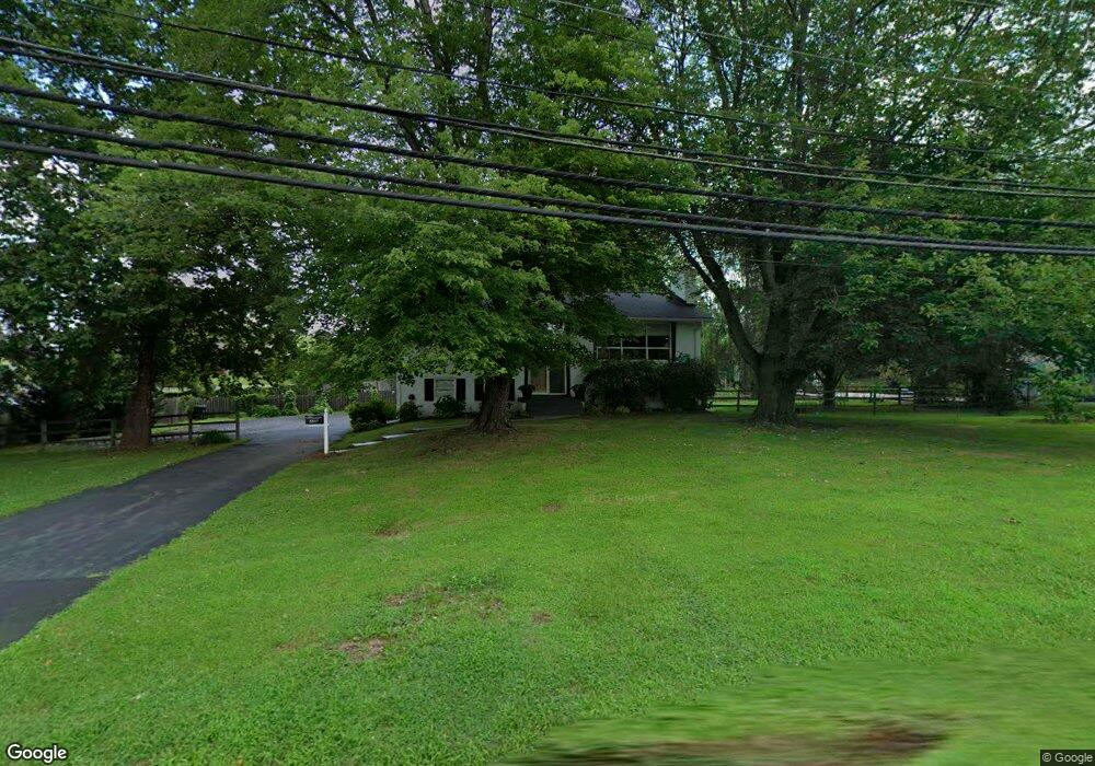
8897 Grant Ave Manassas, VA 20110
Estimated Value: $534,000 - $570,000
4
Beds
3
Baths
1,248
Sq Ft
$442/Sq Ft
Est. Value
About This Home
This home is located at 8897 Grant Ave, Manassas, VA 20110 and is currently estimated at $551,189, approximately $441 per square foot. 8897 Grant Ave is a home located in Manassas City with nearby schools including Weems Elementary School, Mayfield Intermediate School, and Grace E. Metz Middle School.
Ownership History
Date
Name
Owned For
Owner Type
Purchase Details
Closed on
Nov 13, 2009
Sold by
Wine Marie W and Wine Edward Emerson
Bought by
Legg Kevin L and Legg Deborah L
Current Estimated Value
Home Financials for this Owner
Home Financials are based on the most recent Mortgage that was taken out on this home.
Original Mortgage
$176,739
Outstanding Balance
$115,285
Interest Rate
4.98%
Mortgage Type
FHA
Estimated Equity
$435,904
Create a Home Valuation Report for This Property
The Home Valuation Report is an in-depth analysis detailing your home's value as well as a comparison with similar homes in the area
Home Values in the Area
Average Home Value in this Area
Purchase History
| Date | Buyer | Sale Price | Title Company |
|---|---|---|---|
| Legg Kevin L | $180,000 | Old Republic National Title |
Source: Public Records
Mortgage History
| Date | Status | Borrower | Loan Amount |
|---|---|---|---|
| Open | Legg Kevin L | $176,739 |
Source: Public Records
Tax History Compared to Growth
Tax History
| Year | Tax Paid | Tax Assessment Tax Assessment Total Assessment is a certain percentage of the fair market value that is determined by local assessors to be the total taxable value of land and additions on the property. | Land | Improvement |
|---|---|---|---|---|
| 2024 | $5,814 | $461,400 | $175,000 | $286,400 |
| 2023 | $5,587 | $443,400 | $170,000 | $273,400 |
| 2022 | $5,220 | $389,000 | $147,500 | $241,500 |
| 2021 | $4,880 | $341,500 | $132,000 | $209,500 |
| 2020 | $4,795 | $328,400 | $127,500 | $200,900 |
| 2019 | $4,452 | $300,800 | $124,000 | $176,800 |
| 2018 | $4,253 | $291,300 | $118,000 | $173,300 |
| 2017 | -- | $286,500 | $118,000 | $168,500 |
| 2016 | $3,945 | $281,200 | $0 | $0 |
| 2015 | -- | $274,500 | $118,000 | $156,500 |
| 2014 | -- | $0 | $0 | $0 |
Source: Public Records
Map
Nearby Homes
- 9019 Sudley Rd
- 9040 Grant Ave
- 9105 Ewell St
- 8600 Stonewall Rd
- 9256 Stonewall Ct
- 8516 Cavalry Ln
- 8357 Tillett Loop
- 9511 Park St
- 9309 West St
- 8341 Tillett Loop
- 9188 Laurelwood Ct
- 8610 Lamont Ct
- 9557 Center St
- 9583 Center St
- 9523 Center St
- 9561 Center St
- 9309 Maple St
- 8720 Sugarwood Ln Unit 1
- 9696 Zimbro Ave
- 9413 Stonewall Rd
- 8904 Longstreet Dr
- 8899 Grant Ave
- 8900 Longstreet Dr
- 8908 Longstreet Dr
- 8915 Sudley Rd
- 8907 Longstreet Dr
- 9256 Longstreet Ct
- 8910 Longstreet Dr
- 8917 Sudley Rd
- 0 Sudley Rd Unit MN7251266
- 0 Sudley Rd Unit VAPW2032332
- 0 Sudley Rd Unit 1009024130
- 8909 Longstreet Dr
- 8910 Sudley Rd
- 8908 Sudley Rd
- 8903 Longstreet Dr
- 8911 Longstreet Dr
- 8900 Grant Ave
- 9253 Longstreet Ct
- 8912 Longstreet Dr