89 C D E Ln Murphysboro, IL 62966
Estimated Value: $243,000 - $284,950
Studio
--
Bath
--
Sq Ft
638,590
Sq Ft Lot
About This Home
This home is located at 89 C D E Ln, Murphysboro, IL 62966 and is currently estimated at $259,650. 89 C D E Ln is a home located in Jackson County with nearby schools including Murphysboro High School.
Ownership History
Date
Name
Owned For
Owner Type
Purchase Details
Closed on
Feb 1, 2016
Sold by
Fairfield Allison L and Hensley Allison L
Bought by
Fairfield Dylan R
Current Estimated Value
Purchase Details
Closed on
Feb 15, 2013
Sold by
Ropp Lynford and Ropp Susan
Bought by
Fairfield Dylan R and Hensley Allison L
Home Financials for this Owner
Home Financials are based on the most recent Mortgage that was taken out on this home.
Original Mortgage
$171,830
Interest Rate
3.25%
Mortgage Type
FHA
Purchase Details
Closed on
Jul 24, 2009
Sold by
Mcgee Paul A and Mcgee Lee Lynn
Bought by
Ropp Lynford A
Home Financials for this Owner
Home Financials are based on the most recent Mortgage that was taken out on this home.
Original Mortgage
$98,300
Interest Rate
5.43%
Create a Home Valuation Report for This Property
The Home Valuation Report is an in-depth analysis detailing your home's value as well as a comparison with similar homes in the area
Purchase History
| Date | Buyer | Sale Price | Title Company |
|---|---|---|---|
| Fairfield Dylan R | -- | Attorney | |
| Fairfield Dylan R | -- | None Available | |
| Ropp Lynford A | -- | None Available |
Source: Public Records
Mortgage History
| Date | Status | Borrower | Loan Amount |
|---|---|---|---|
| Previous Owner | Fairfield Dylan R | $171,830 | |
| Previous Owner | Ropp Lynford A | $98,300 |
Source: Public Records
Tax History
| Year | Tax Paid | Tax Assessment Tax Assessment Total Assessment is a certain percentage of the fair market value that is determined by local assessors to be the total taxable value of land and additions on the property. | Land | Improvement |
|---|---|---|---|---|
| 2024 | $3,123 | $44,013 | $3,619 | $40,394 |
| 2023 | $2,848 | $39,019 | $3,180 | $35,839 |
| 2022 | $2,624 | $35,700 | $2,850 | $32,850 |
| 2021 | $2,473 | $33,411 | $2,592 | $30,819 |
| 2020 | $2,472 | $32,898 | $2,447 | $30,451 |
| 2019 | $2,257 | $32,222 | $2,301 | $29,921 |
| 2018 | $1,193 | $20,694 | $2,199 | $18,495 |
| 2017 | $1,202 | $20,601 | $2,106 | $18,495 |
| 2016 | $1,177 | $20,517 | $2,022 | $18,495 |
| 2015 | -- | $20,445 | $1,950 | $18,495 |
| 2014 | -- | $33,863 | $13,090 | $20,773 |
| 2012 | -- | $9,016 | $4,166 | $4,850 |
Source: Public Records
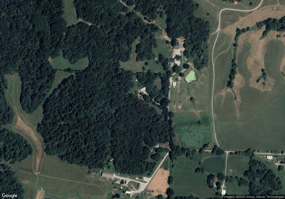
Map
Nearby Homes
- 8384 Hickory Ridge Rd
- 61 Schack Rd
- 1300 Shoal Creek Rd
- 9784 Highway 127
- 90 Carlock Rd
- 138 Worthen Rd
- 5435 Hickory Ridge Rd
- 4648 Highway 127
- 2237 Roblee Ave
- Lot 20 Scotty Dr
- Lot 22 Scotty Dr
- 2229 Town Creek Rd
- 8994 Old Highway 13
- 8694 Old Highway 13
- 2308 Alexander St
- 8650 Old Highway 13
- 2123 Clay St
- 538 S 17th St
- 8193 Old Highway 13
- 524 S 17th St
- 89 C D E Ln
- 89 C D East Ln
- 75 C D E Ln
- 41 C D E Ln
- 7 C D E Ln
- 7 C D E Ln
- 7 C D East Ln
- 488 Vancloostere Rd
- 330 Vancloostere Rd
- 248 Vancloostere Rd
- 165 Vancloostere Rd
- 43 Vancloostere Rd
- 456 S Jungle Rd
- 1484 Orchard Hill Rd
- 529 Vancloostere Rd
- 2225 Orchard Hill Rd
- 276 Penny Rd
- 134 S Jungle Rd
- 2553 Orchard Hill Rd
- 70 Stewarts Way
Your Personal Tour Guide
Ask me questions while you tour the home.