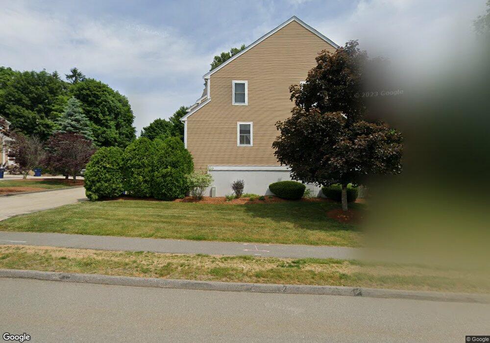
89 Camelot Dr Worcester, MA 01602
West Tatnuck NeighborhoodEstimated Value: $355,283 - $392,000
2
Beds
2
Baths
1,458
Sq Ft
$253/Sq Ft
Est. Value
About This Home
This home is located at 89 Camelot Dr, Worcester, MA 01602 and is currently estimated at $369,321, approximately $253 per square foot. 89 Camelot Dr is a home located in Worcester County with nearby schools including Tatnuck Magnet School, Chandler Magnet, and Jacob Hiatt Magnet School.
Ownership History
Date
Name
Owned For
Owner Type
Purchase Details
Closed on
Oct 19, 2001
Sold by
Northwoods Rt and Adams James R
Bought by
Carney Linda B
Current Estimated Value
Home Financials for this Owner
Home Financials are based on the most recent Mortgage that was taken out on this home.
Original Mortgage
$75,000
Outstanding Balance
$29,422
Interest Rate
6.92%
Mortgage Type
Purchase Money Mortgage
Estimated Equity
$339,899
Create a Home Valuation Report for This Property
The Home Valuation Report is an in-depth analysis detailing your home's value as well as a comparison with similar homes in the area
Home Values in the Area
Average Home Value in this Area
Purchase History
| Date | Buyer | Sale Price | Title Company |
|---|---|---|---|
| Carney Linda B | $156,696 | -- |
Source: Public Records
Mortgage History
| Date | Status | Borrower | Loan Amount |
|---|---|---|---|
| Open | Carney Linda B | $75,000 |
Source: Public Records
Tax History
| Year | Tax Paid | Tax Assessment Tax Assessment Total Assessment is a certain percentage of the fair market value that is determined by local assessors to be the total taxable value of land and additions on the property. | Land | Improvement |
|---|---|---|---|---|
| 2025 | $4,080 | $309,300 | $0 | $309,300 |
| 2024 | $4,205 | $305,800 | $0 | $305,800 |
| 2023 | $3,994 | $278,500 | $0 | $278,500 |
| 2022 | $3,547 | $233,200 | $0 | $233,200 |
| 2021 | $3,598 | $221,000 | $0 | $221,000 |
| 2020 | $3,630 | $213,500 | $0 | $213,500 |
| 2019 | $3,715 | $206,400 | $0 | $206,400 |
| 2018 | $3,585 | $189,600 | $0 | $189,600 |
| 2017 | $3,494 | $181,800 | $0 | $181,800 |
| 2016 | $3,139 | $152,300 | $0 | $152,300 |
| 2015 | $3,057 | $152,300 | $0 | $152,300 |
| 2014 | $2,880 | $147,400 | $0 | $147,400 |
Source: Public Records
Map
Nearby Homes
- 85 Camelot Dr Unit 118
- 18 Merlin Ct Unit 18
- 118 Beaconsfield Rd
- 23 Orrison St
- 163 Moreland St
- 122 Copperfield Rd
- 12 Cardinal Rd
- 23 Tiverton Pkwy
- 31 Lenox St
- 148A Tory Fort Ln
- 9 Dennison Rd
- 19 Kenilworth Rd
- 3 Old English Rd
- 493 Salisbury St
- 3 Westwood Dr
- 9 Newburn Rd
- 6 Paul Revere Rd
- 28 Lynnwood Ln
- 10 Salisbury Hill Blvd Unit 75
- 8 Old Colony Rd
Your Personal Tour Guide
Ask me questions while you tour the home.