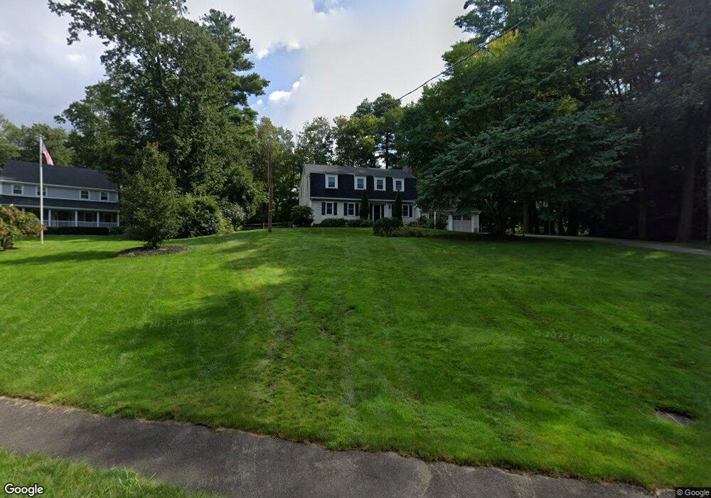
89 Locust Ln Needham, MA 02492
Estimated Value: $1,466,000 - $1,802,000
4
Beds
3
Baths
2,290
Sq Ft
$727/Sq Ft
Est. Value
About This Home
This home is located at 89 Locust Ln, Needham, MA 02492 and is currently estimated at $1,665,665, approximately $727 per square foot. 89 Locust Ln is a home located in Norfolk County with nearby schools including Newman Elementary School, High Rock Middle School, and Pollard Middle School.
Ownership History
Date
Name
Owned For
Owner Type
Purchase Details
Closed on
Jul 28, 2005
Sold by
Davis Patricia R and Davis Thomas A
Bought by
Weitzel Christine C and Weitzel Richard S
Current Estimated Value
Home Financials for this Owner
Home Financials are based on the most recent Mortgage that was taken out on this home.
Original Mortgage
$540,000
Interest Rate
5.67%
Mortgage Type
Purchase Money Mortgage
Purchase Details
Closed on
Apr 30, 1993
Sold by
Berig Donald J and Berig Mary L
Bought by
Davis Thomas A and Davis Patricia R
Home Financials for this Owner
Home Financials are based on the most recent Mortgage that was taken out on this home.
Original Mortgage
$260,000
Interest Rate
7.51%
Mortgage Type
Purchase Money Mortgage
Create a Home Valuation Report for This Property
The Home Valuation Report is an in-depth analysis detailing your home's value as well as a comparison with similar homes in the area
Home Values in the Area
Average Home Value in this Area
Purchase History
| Date | Buyer | Sale Price | Title Company |
|---|---|---|---|
| Weitzel Christine C | $850,000 | -- | |
| Davis Thomas A | $360,000 | -- |
Source: Public Records
Mortgage History
| Date | Status | Borrower | Loan Amount |
|---|---|---|---|
| Open | Davis Thomas A | $504,000 | |
| Closed | Weitzel Christine C | $540,000 | |
| Previous Owner | Davis Thomas A | $265,000 | |
| Previous Owner | Davis Thomas A | $260,000 | |
| Previous Owner | Davis Thomas A | $250,000 |
Source: Public Records
Tax History
| Year | Tax Paid | Tax Assessment Tax Assessment Total Assessment is a certain percentage of the fair market value that is determined by local assessors to be the total taxable value of land and additions on the property. | Land | Improvement |
|---|---|---|---|---|
| 2025 | $14,716 | $1,388,300 | $893,300 | $495,000 |
| 2024 | $13,841 | $1,105,500 | $716,700 | $388,800 |
| 2023 | $13,968 | $1,071,200 | $716,700 | $354,500 |
| 2022 | $11,818 | $883,900 | $544,200 | $339,700 |
| 2021 | $11,517 | $883,900 | $544,200 | $339,700 |
| 2020 | $11,189 | $895,800 | $544,300 | $351,500 |
| 2019 | $11,001 | $887,900 | $544,300 | $343,600 |
| 2018 | $10,548 | $887,900 | $544,300 | $343,600 |
| 2017 | $10,063 | $846,300 | $544,300 | $302,000 |
| 2016 | $9,804 | $849,600 | $544,300 | $305,300 |
| 2015 | $9,592 | $849,600 | $544,300 | $305,300 |
| 2014 | $9,760 | $838,500 | $544,300 | $294,200 |
Source: Public Records
Map
Nearby Homes
- 68 Locust Ln
- 389 Grove St
- 182 Winding River Rd
- 12 Winding River Cir
- 121 Livingston Rd
- 9 Buttercup Ln
- 222 Grove St
- 20 Arden Rd
- 365 Charles River St
- 8 Warren Rd
- 333 Cartwright Rd
- 60 Claybrook Rd
- 3 Midland Rd
- 62 Claybrook Rd
- 29 Water St
- 1780 Central Ave
- 37 Carleton Dr
- 170 Benvenue St
- 4 Claybrook Rd
- 78 Denton Rd
Your Personal Tour Guide
Ask me questions while you tour the home.