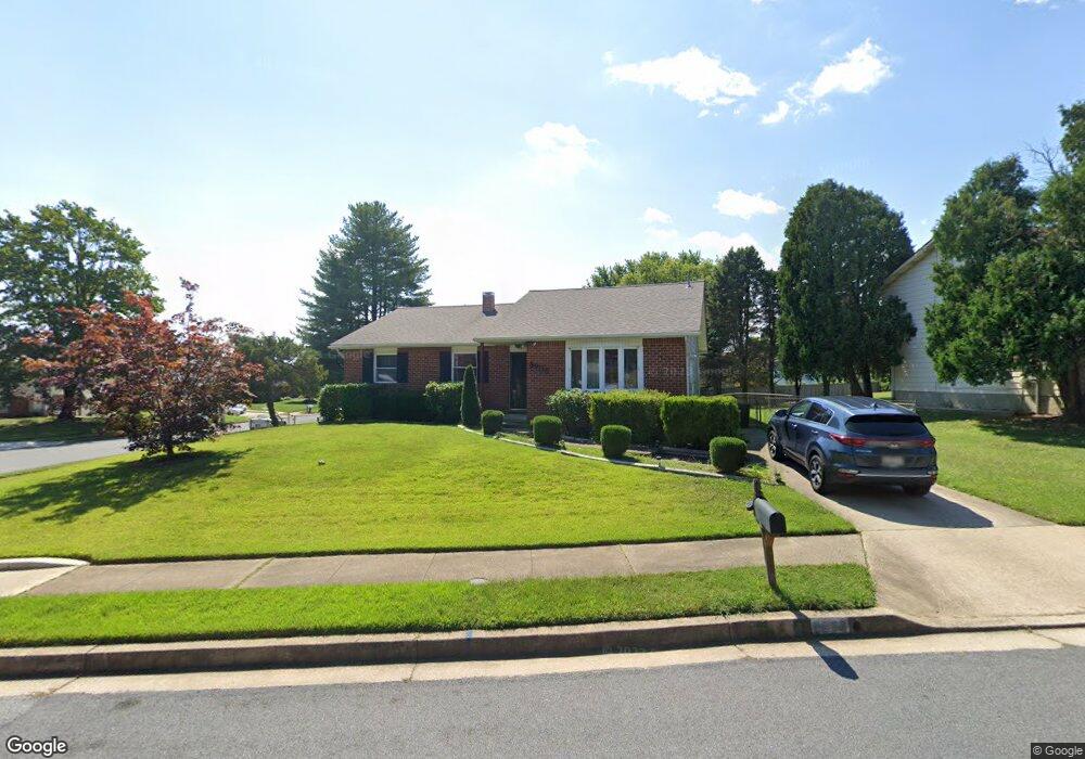
8905 Lesan Rd Randallstown, MD 21133
Estimated Value: $327,000 - $384,000
3
Beds
3
Baths
1,878
Sq Ft
$186/Sq Ft
Est. Value
About This Home
This home is located at 8905 Lesan Rd, Randallstown, MD 21133 and is currently estimated at $349,801, approximately $186 per square foot. 8905 Lesan Rd is a home located in Baltimore County with nearby schools including Winand Elementary School, Northwest Academy of Health Sciences, and Randallstown High School.
Ownership History
Date
Name
Owned For
Owner Type
Purchase Details
Closed on
May 2, 2006
Sold by
Markow Steven
Bought by
Williams Larrry P D and Williams Pamela D
Current Estimated Value
Home Financials for this Owner
Home Financials are based on the most recent Mortgage that was taken out on this home.
Original Mortgage
$272,800
Outstanding Balance
$157,452
Interest Rate
6.34%
Mortgage Type
Purchase Money Mortgage
Estimated Equity
$192,350
Purchase Details
Closed on
Apr 20, 2006
Sold by
Markow Steven
Bought by
Williams Larrry P D and Williams Pamela D
Home Financials for this Owner
Home Financials are based on the most recent Mortgage that was taken out on this home.
Original Mortgage
$272,800
Outstanding Balance
$157,452
Interest Rate
6.34%
Mortgage Type
Purchase Money Mortgage
Estimated Equity
$192,350
Purchase Details
Closed on
Oct 4, 1988
Sold by
Levy Barry W
Bought by
Markow Steven
Create a Home Valuation Report for This Property
The Home Valuation Report is an in-depth analysis detailing your home's value as well as a comparison with similar homes in the area
Home Values in the Area
Average Home Value in this Area
Purchase History
| Date | Buyer | Sale Price | Title Company |
|---|---|---|---|
| Williams Larrry P D | $275,000 | -- | |
| Williams Larrry P D | $275,000 | -- | |
| Markow Steven | $100,000 | -- |
Source: Public Records
Mortgage History
| Date | Status | Borrower | Loan Amount |
|---|---|---|---|
| Open | Williams Larrry P D | $272,800 | |
| Closed | Williams Larrry P D | $272,800 |
Source: Public Records
Tax History Compared to Growth
Tax History
| Year | Tax Paid | Tax Assessment Tax Assessment Total Assessment is a certain percentage of the fair market value that is determined by local assessors to be the total taxable value of land and additions on the property. | Land | Improvement |
|---|---|---|---|---|
| 2025 | $3,621 | $258,167 | -- | -- |
| 2024 | $3,621 | $233,900 | $74,400 | $159,500 |
| 2023 | $1,725 | $228,367 | $0 | $0 |
| 2022 | $3,121 | $222,833 | $0 | $0 |
| 2021 | $2,994 | $217,300 | $56,400 | $160,900 |
| 2020 | $3,058 | $214,067 | $0 | $0 |
| 2019 | $2,555 | $210,833 | $0 | $0 |
| 2018 | $3,107 | $207,600 | $56,400 | $151,200 |
| 2017 | $2,890 | $193,900 | $0 | $0 |
| 2016 | $2,870 | $180,200 | $0 | $0 |
| 2015 | $2,870 | $166,500 | $0 | $0 |
| 2014 | $2,870 | $166,500 | $0 | $0 |
Source: Public Records
Map
Nearby Homes
- 3907 Roxanne Rd
- 8806 Gilly Way Unit D
- 8802 Falcon Ridge Dr
- 4105 Kiwi Ct
- 8908 Meadow Heights Rd
- 28 Sunrise Ct
- 20 Sunrise Ct
- 9044 Allenswood Rd
- 3854 Terka Cir
- 1205/99 Winands Rd
- 3805 Terka Cir
- 20 Windy Meadow Ct
- 4135 Brookside Oaks
- 9112 Meadow Heights Rd
- 9012 Allenswood Rd
- 4210 Mary Ridge Dr
- 4108 Century Towne Rd
- 4228 Brookside Oaks
- 3816 Cassandra Rd
- 3705 Allenswood Ct