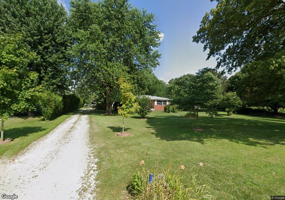
8915 Cox Rd Indianapolis, IN 46221
West Newton NeighborhoodEstimated Value: $196,000 - $296,000
2
Beds
2
Baths
1,016
Sq Ft
$248/Sq Ft
Est. Value
About This Home
This home is located at 8915 Cox Rd, Indianapolis, IN 46221 and is currently estimated at $252,476, approximately $248 per square foot. 8915 Cox Rd is a home located in Marion County with nearby schools including West Newton Elementary School, Decatur Middle School, and Decatur Central High School.
Ownership History
Date
Name
Owned For
Owner Type
Purchase Details
Closed on
Nov 27, 2019
Sold by
Bowers Charles K
Bought by
Schiele Pamela M and Schiele Jeffrey L
Current Estimated Value
Home Financials for this Owner
Home Financials are based on the most recent Mortgage that was taken out on this home.
Original Mortgage
$92,000
Outstanding Balance
$81,348
Interest Rate
3.75%
Mortgage Type
New Conventional
Estimated Equity
$171,128
Create a Home Valuation Report for This Property
The Home Valuation Report is an in-depth analysis detailing your home's value as well as a comparison with similar homes in the area
Home Values in the Area
Average Home Value in this Area
Purchase History
| Date | Buyer | Sale Price | Title Company |
|---|---|---|---|
| Schiele Pamela M | $183,000 | Ata National Title Group Of In |
Source: Public Records
Mortgage History
| Date | Status | Borrower | Loan Amount |
|---|---|---|---|
| Open | Schiele Pamela M | $92,000 |
Source: Public Records
Tax History Compared to Growth
Tax History
| Year | Tax Paid | Tax Assessment Tax Assessment Total Assessment is a certain percentage of the fair market value that is determined by local assessors to be the total taxable value of land and additions on the property. | Land | Improvement |
|---|---|---|---|---|
| 2024 | $2,314 | $192,800 | $28,100 | $164,700 |
| 2023 | $2,314 | $173,200 | $28,100 | $145,100 |
| 2022 | $2,105 | $153,600 | $28,100 | $125,500 |
| 2021 | $1,976 | $138,100 | $28,100 | $110,000 |
| 2020 | $1,588 | $129,600 | $28,100 | $101,500 |
| 2019 | $1,392 | $116,900 | $28,100 | $88,800 |
| 2018 | $1,246 | $109,100 | $28,100 | $81,000 |
| 2017 | $1,082 | $102,500 | $28,100 | $74,400 |
| 2016 | $1,161 | $106,700 | $28,100 | $78,600 |
| 2014 | $900 | $102,200 | $28,100 | $74,100 |
| 2013 | $893 | $102,200 | $28,100 | $74,100 |
Source: Public Records
Map
Nearby Homes
- 6403 W Ralston Rd
- 6700 #7 W Ralston Rd
- 6700 #2 W Ralston Rd
- 6700 #4 W Ralston Rd
- 6700 #6 W Ralston Rd
- 6700 #3 W Ralston Rd
- 13885 N Rising Sun Cir E
- 00 Boncquet Terrace
- 7421 Big Bend Blvd
- 13849 N Fairwood Dr
- 7445 Big Bend Blvd
- 7509 Big Bend Blvd
- 7525 Big Bend Blvd
- 7533 Big Bend Blvd
- 7147 E Rising Sun Cir S
- Bellamy Plan at Parks at Decatur
- 7628 Big Bend Blvd
- Holcombe Plan at Parks at Decatur
- Chatham Plan at Parks at Decatur
- Freeport Plan at Parks at Decatur