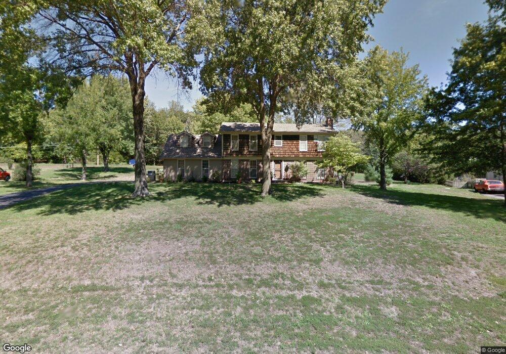
8925 Millstone Dr Lenexa, KS 66220
Estimated Value: $481,000 - $579,000
4
Beds
3
Baths
2,530
Sq Ft
$211/Sq Ft
Est. Value
About This Home
This home is located at 8925 Millstone Dr, Lenexa, KS 66220 and is currently estimated at $533,706, approximately $210 per square foot. 8925 Millstone Dr is a home located in Johnson County with nearby schools including Manchester Park Elementary School, Prairie Trail Middle School, and Olathe Northwest High School.
Ownership History
Date
Name
Owned For
Owner Type
Purchase Details
Closed on
Feb 27, 2003
Sold by
Edwards Robert F and Edwards Elizabeth A
Bought by
Sics Aivars and Sics Heather N
Current Estimated Value
Home Financials for this Owner
Home Financials are based on the most recent Mortgage that was taken out on this home.
Original Mortgage
$155,600
Outstanding Balance
$64,136
Interest Rate
5.93%
Estimated Equity
$469,570
Create a Home Valuation Report for This Property
The Home Valuation Report is an in-depth analysis detailing your home's value as well as a comparison with similar homes in the area
Home Values in the Area
Average Home Value in this Area
Purchase History
| Date | Buyer | Sale Price | Title Company |
|---|---|---|---|
| Sics Aivars | -- | Security Land Title Company |
Source: Public Records
Mortgage History
| Date | Status | Borrower | Loan Amount |
|---|---|---|---|
| Open | Sics Aivars | $155,600 |
Source: Public Records
Tax History
| Year | Tax Paid | Tax Assessment Tax Assessment Total Assessment is a certain percentage of the fair market value that is determined by local assessors to be the total taxable value of land and additions on the property. | Land | Improvement |
|---|---|---|---|---|
| 2025 | $6,090 | $54,246 | $19,327 | $34,919 |
| 2024 | $6,090 | $49,634 | $13,314 | $36,320 |
| 2023 | $5,892 | $47,047 | $13,314 | $33,733 |
| 2022 | $5,445 | $42,389 | $13,314 | $29,075 |
| 2021 | $5,043 | $37,272 | $12,110 | $25,162 |
| 2020 | $5,551 | $36,191 | $12,110 | $24,081 |
| 2019 | $5,435 | $34,040 | $10,079 | $23,961 |
| 2018 | $5,314 | $32,787 | $10,079 | $22,708 |
| 2017 | $5,240 | $31,556 | $9,175 | $22,381 |
| 2016 | $4,848 | $29,429 | $8,348 | $21,081 |
| 2015 | $5,588 | $27,715 | $8,348 | $19,367 |
| 2013 | -- | $22,655 | $6,121 | $16,534 |
Source: Public Records
Map
Nearby Homes
- 19430 W 87th Ln
- 9014 Chestnut St
- 9317 Cottonwood Canyon Dr
- 0 W 95th St
- 20308 W 92nd St
- 20219 W 93rd St
- 9626 Falcon Valley Dr
- 8926 Quail Ridge Ln
- 8709 Pine St
- 19430 W 98th St
- 9002 Pine St
- 9517 Falcon Ridge Dr
- 8920 Pine St
- 19313 W 98th St
- 20414 Crickett Ln
- 20606 W 88th Terrace
- 9603 Red Oak Dr
- 19013 W 98th Terrace
- 9205 Redbud Ln
- 9625 Cailler Dr
- 8927 Millstone Dr
- 8923 Millstone Dr
- 8926 Millstone Dr
- 8929 Millstone Dr
- 8922 Millstone Dr
- 8921 Millstone Dr
- 8930 Millstone Dr
- 8931 Millstone Dr
- 8920 Millstone Dr
- 8942 Hirning Rd
- 8943 Hirning Rd
- 8919 Millstone Dr
- 8936 Millstone Dr
- 8933 Millstone Dr
- 8931 Millstone Cir
- 8923 Millstone Cir
- 8918 Millstone Dr
- 8938 Hirning Rd
- 8937 Millstone Dr
- 8917 Millstone Dr
Your Personal Tour Guide
Ask me questions while you tour the home.