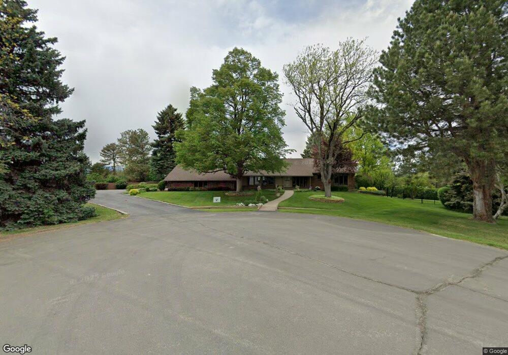
895 Front Range Rd Littleton, CO 80120
Heritage NeighborhoodEstimated Value: $867,000 - $1,317,000
3
Beds
6
Baths
1,854
Sq Ft
$576/Sq Ft
Est. Value
About This Home
This home is located at 895 Front Range Rd, Littleton, CO 80120 and is currently estimated at $1,066,987, approximately $575 per square foot. 895 Front Range Rd is a home located in Arapahoe County with nearby schools including Runyon Elementary School, Euclid Middle School, and Heritage High School.
Ownership History
Date
Name
Owned For
Owner Type
Purchase Details
Closed on
Apr 24, 2019
Sold by
Frances and Jimmie Del Ponte Fmtr
Bought by
Del Ponte Family Trust
Current Estimated Value
Purchase Details
Closed on
Mar 14, 2014
Sold by
Delponte Jimmie D and J F Del Ponte & Co
Bought by
Frances & Jimmie Del Ponte Family Trust
Purchase Details
Closed on
Mar 24, 2000
Sold by
Delponte Jimmie D and Delponte Frances E
Bought by
J F Del Ponte & Co
Purchase Details
Closed on
Jul 4, 1776
Bought by
Conversion Arapco
Create a Home Valuation Report for This Property
The Home Valuation Report is an in-depth analysis detailing your home's value as well as a comparison with similar homes in the area
Home Values in the Area
Average Home Value in this Area
Purchase History
| Date | Buyer | Sale Price | Title Company |
|---|---|---|---|
| Del Ponte Family Trust | -- | None Available | |
| Frances & Jimmie Del Ponte Family Trust | -- | None Available | |
| J F Del Ponte & Co | -- | -- | |
| Conversion Arapco | -- | -- |
Source: Public Records
Tax History
| Year | Tax Paid | Tax Assessment Tax Assessment Total Assessment is a certain percentage of the fair market value that is determined by local assessors to be the total taxable value of land and additions on the property. | Land | Improvement |
|---|---|---|---|---|
| 2025 | $7,513 | $85,538 | -- | -- |
| 2024 | $7,026 | $80,172 | -- | -- |
| 2023 | $7,026 | $80,172 | $0 | $0 |
| 2022 | $5,890 | $64,962 | $0 | $0 |
| 2021 | $5,873 | $64,962 | $0 | $0 |
| 2020 | $4,632 | $54,226 | $0 | $0 |
| 2019 | $4,357 | $54,226 | $0 | $0 |
| 2018 | $3,931 | $52,337 | $0 | $0 |
| 2017 | $3,642 | $52,337 | $0 | $0 |
| 2016 | $3,696 | $51,963 | $0 | $0 |
| 2015 | $3,705 | $51,963 | $0 | $0 |
| 2014 | -- | $33,471 | $0 | $0 |
| 2013 | -- | $36,370 | $0 | $0 |
Source: Public Records
Map
Nearby Homes
- 7252 S Costilla St
- 7019 S Windermere St
- 2805 W Davies Dr
- 7132 S Bryant St Unit 232
- 7132 S Bryant St Unit 231
- 7120 S Clay St
- 7475 S Houstoun Waring Cir
- 2002 W Ridge Rd
- 7604 S Datura Cir W
- 6483 S Sycamore St
- 2480 W Jamison Way
- 6521 S Cedar St
- 1148 W Hinsdale Dr
- 3004 W Long Dr Unit B
- 2783 W Long Dr Unit B
- 6710 S Foresthill St
- 7751 S Curtice Dr Unit F
- 2980 W Long Dr Unit B
- 6852 S Greenwood St
- 7743 S Nevada Dr
- 7048 S Prince St
- 900 Front Range Rd
- 875 Front Range Rd
- 925 Front Range Rd
- 7088 S Prince St
- 855 Front Range Rd
- 1929 W Rowland Ave Unit 120
- 955 Front Range Rd
- 840 Front Range Rd
- 860 Front Range Rd
- 945 Front Range Rd
- 845 Front Range Rd
- 2412 W Rowland Ave
- 2411 W Rowland Ave
- 2296 W Davies Ave
- 2266 W Davies Ave
- 835 Front Range Rd
- 2336 W Davies Ave
- 2415 Park Ln
- 2415 Park Ln Unit 197
Your Personal Tour Guide
Ask me questions while you tour the home.