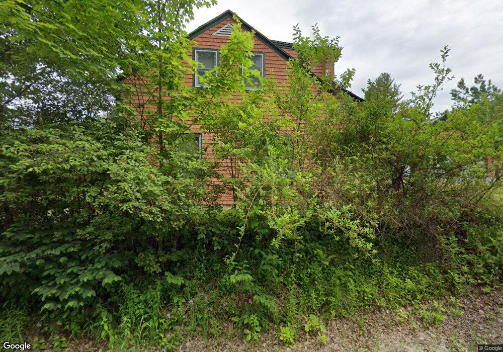
895 Lennon Rd Carroll, NH 03598
Estimated Value: $323,000 - $399,663
3
Beds
2
Baths
1,440
Sq Ft
$254/Sq Ft
Est. Value
About This Home
This home is located at 895 Lennon Rd, Carroll, NH 03598 and is currently estimated at $365,888, approximately $254 per square foot. 895 Lennon Rd is a home located in Coos County with nearby schools including Whitefield Elementary School, White Mountains Regional High School, and Kid's Connections.
Ownership History
Date
Name
Owned For
Owner Type
Purchase Details
Closed on
Mar 14, 2005
Sold by
Jensen Keith G and Jensen Regina K
Bought by
Andrews Floyd T and Andrews Cheryl A
Current Estimated Value
Home Financials for this Owner
Home Financials are based on the most recent Mortgage that was taken out on this home.
Original Mortgage
$118,000
Outstanding Balance
$20,705
Interest Rate
5.64%
Estimated Equity
$345,183
Purchase Details
Closed on
Dec 30, 1997
Sold by
Ryan Maureen E
Bought by
Jenson Keith G and Jenson Regina K
Home Financials for this Owner
Home Financials are based on the most recent Mortgage that was taken out on this home.
Original Mortgage
$69,121
Interest Rate
7.15%
Create a Home Valuation Report for This Property
The Home Valuation Report is an in-depth analysis detailing your home's value as well as a comparison with similar homes in the area
Home Values in the Area
Average Home Value in this Area
Purchase History
| Date | Buyer | Sale Price | Title Company |
|---|---|---|---|
| Andrews Floyd T | $148,000 | -- | |
| Jenson Keith G | $69,900 | -- |
Source: Public Records
Mortgage History
| Date | Status | Borrower | Loan Amount |
|---|---|---|---|
| Open | Jenson Keith G | $118,000 | |
| Previous Owner | Jenson Keith G | $69,121 |
Source: Public Records
Tax History Compared to Growth
Tax History
| Year | Tax Paid | Tax Assessment Tax Assessment Total Assessment is a certain percentage of the fair market value that is determined by local assessors to be the total taxable value of land and additions on the property. | Land | Improvement |
|---|---|---|---|---|
| 2024 | $3,573 | $300,230 | $140,200 | $160,030 |
| 2023 | $3,702 | $300,230 | $140,200 | $160,030 |
| 2022 | $3,639 | $300,230 | $140,200 | $160,030 |
| 2021 | $3,186 | $166,570 | $59,500 | $107,070 |
| 2020 | $3,540 | $166,570 | $59,500 | $107,070 |
| 2019 | $3,331 | $166,570 | $59,500 | $107,070 |
| 2018 | $3,280 | $166,570 | $59,500 | $107,070 |
| 2016 | $3,233 | $170,315 | $64,500 | $105,815 |
| 2015 | $3,213 | $168,857 | $64,500 | $104,357 |
| 2011 | $2,564 | $189,220 | $90,900 | $98,320 |
Source: Public Records
Map
Nearby Homes
- 1478 U S 3
- 348 Parker Rd
- 2229 Route 3 N
- 59 Parker Rd
- 407 U S 3
- 213 Route 3 N
- 0 Route 3 N Unit 5049041
- 00 Beechwood Dr Unit 11.3
- 480 U S 3
- 000 Ledgewood Dr
- 000 Ledgewood Dr Unit 9.8
- 28 Gould Rd
- 289 Ledgewood Dr
- 170 S Whitefield Rd
- 116 Little River Rd
- 0 Meadows Rd Unit 4C-1 5054578
- 258 Crawford Ridge Rd Unit 7
- 254 Crawford Ridge Rd Unit 3
- 305 Crawford Ridge Rd Unit 14
- 69 Casey Ln