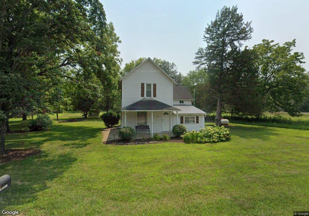
895 N 2000th Rd Lecompton, KS 66050
Scenic Riverway NeighborhoodEstimated Value: $139,000 - $346,000
2
Beds
1
Bath
1,310
Sq Ft
$190/Sq Ft
Est. Value
About This Home
This home is located at 895 N 2000th Rd, Lecompton, KS 66050 and is currently estimated at $249,520, approximately $190 per square foot. 895 N 2000th Rd is a home located in Douglas County with nearby schools including Lecompton Elementary School, Perry-Lecompton Middle School, and Perry-Lecompton High School.
Ownership History
Date
Name
Owned For
Owner Type
Purchase Details
Closed on
Feb 15, 2022
Sold by
Mary A James Trust
Bought by
James Randall F and James Robyn A
Current Estimated Value
Purchase Details
Closed on
May 1, 2007
Sold by
James Mary A and James Lawrence H
Bought by
James Randall Floyd and James Robyn Ann
Home Financials for this Owner
Home Financials are based on the most recent Mortgage that was taken out on this home.
Original Mortgage
$70,000
Interest Rate
6.19%
Mortgage Type
Seller Take Back
Create a Home Valuation Report for This Property
The Home Valuation Report is an in-depth analysis detailing your home's value as well as a comparison with similar homes in the area
Home Values in the Area
Average Home Value in this Area
Purchase History
| Date | Buyer | Sale Price | Title Company |
|---|---|---|---|
| James Randall F | -- | Eland Title | |
| Vigna Rachelle A | -- | Eland Title | |
| James Randall Floyd | $70,000 | None Available |
Source: Public Records
Mortgage History
| Date | Status | Borrower | Loan Amount |
|---|---|---|---|
| Previous Owner | James Randall Floyd | $70,000 |
Source: Public Records
Tax History
| Year | Tax Paid | Tax Assessment Tax Assessment Total Assessment is a certain percentage of the fair market value that is determined by local assessors to be the total taxable value of land and additions on the property. | Land | Improvement |
|---|---|---|---|---|
| 2025 | $1,933 | $17,765 | $4,148 | $13,617 |
| 2024 | $1,822 | $16,843 | $4,204 | $12,639 |
| 2023 | $1,796 | $15,640 | $4,117 | $11,523 |
| 2022 | $1,691 | $14,234 | $3,826 | $10,408 |
| 2021 | $1,538 | $12,203 | $3,790 | $8,413 |
| 2020 | $1,449 | $11,698 | $3,772 | $7,926 |
| 2019 | $1,374 | $11,130 | $3,692 | $7,438 |
| 2018 | $1,285 | $10,403 | $3,585 | $6,818 |
| 2017 | $1,271 | $10,238 | $3,570 | $6,668 |
| 2016 | $1,235 | $10,112 | $2,142 | $7,970 |
| 2015 | -- | $8,888 | $1,723 | $7,165 |
| 2014 | -- | $7,822 | $1,681 | $6,141 |
Source: Public Records
Map
Nearby Homes
- 1937 E 850 Rd
- 1003 2nd St
- 1770 E 960 Rd
- 00000 Vacant - Phillips Rd
- 6800 Lakeview Rd
- 0000 N 1851 Diag Rd
- 663 N 1851 Diag Rd
- 611 Jones St
- 0000 E 600 Rd
- 710 Simons St
- 323 N Eaton Dr
- 00000 21st St
- 5117 Parker Ct
- 205 Campbell Ct
- 5237 Carson Dr
- 237 Landon Ct
- 5616 Maggie Way
- Lot 2 N Running Ridge Rd
- 5901 Maggie Way
- 415 N Daylily Dr
- 1989 E 850th Rd
- 923 N 2000 Rd
- 1975 E 850th Rd
- 1970 E 850th Rd
- 1962 E 850th Rd
- 1962 E 850th Rd
- 1973 E 850th Rd
- 1958 E 850th Rd
- 1940 E 850 Rd
- 899 N 1928 Rd
- 899 N 1928th Rd Unit B
- 899 B N 1928 Rd
- 1951 E 850th Rd
- 903 N 2000th Rd
- 898 N 1928th Rd
- 829 N 2050th Rd
- 889 N 1928 Rd
- 889 N 1928th Rd
- 878 N 1928th Rd
- 878 N 1928 Rd
Your Personal Tour Guide
Ask me questions while you tour the home.