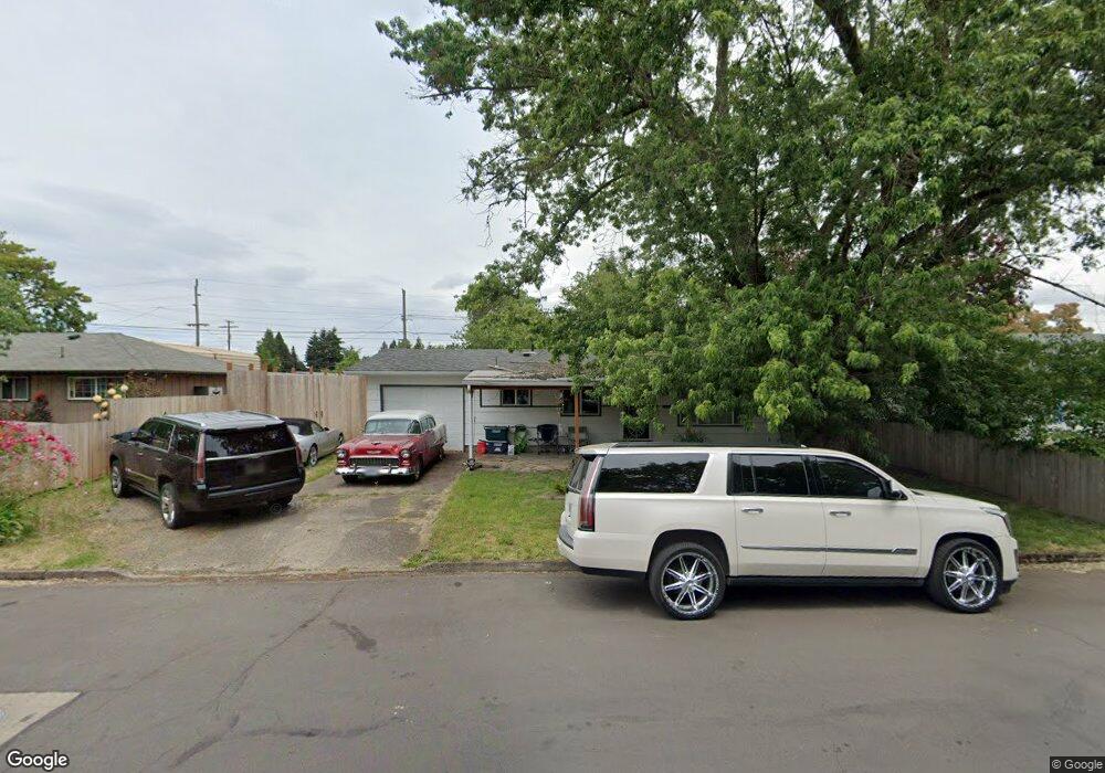
895 Skipper Ave Eugene, OR 97404
River Road NeighborhoodEstimated Value: $327,000 - $346,000
3
Beds
1
Bath
884
Sq Ft
$380/Sq Ft
Est. Value
About This Home
This home is located at 895 Skipper Ave, Eugene, OR 97404 and is currently estimated at $336,355, approximately $380 per square foot. 895 Skipper Ave is a home located in Lane County with nearby schools including Howard Elementary School, Kelly Middle School, and North Eugene High School.
Ownership History
Date
Name
Owned For
Owner Type
Purchase Details
Closed on
Feb 1, 2020
Sold by
Liegel Robert Alan
Bought by
Hohnhorst Rachel
Current Estimated Value
Purchase Details
Closed on
Jun 8, 2012
Sold by
Liegel Kimberly May and Cude Kimberly
Bought by
Liegel Robert Alan
Purchase Details
Closed on
Jul 17, 2007
Sold by
Benson Thomas James and Benson Janey
Bought by
Liegel Robert A and Liegel Kimberly M
Home Financials for this Owner
Home Financials are based on the most recent Mortgage that was taken out on this home.
Original Mortgage
$140,000
Interest Rate
7.87%
Mortgage Type
Purchase Money Mortgage
Purchase Details
Closed on
Sep 27, 2002
Sold by
Benson Thomas James
Bought by
Benson Thomas James and Benson Janey
Create a Home Valuation Report for This Property
The Home Valuation Report is an in-depth analysis detailing your home's value as well as a comparison with similar homes in the area
Home Values in the Area
Average Home Value in this Area
Purchase History
| Date | Buyer | Sale Price | Title Company |
|---|---|---|---|
| Hohnhorst Rachel | $240,000 | Cascade Title Co | |
| Liegel Robert Alan | -- | None Available | |
| Liegel Robert A | $175,000 | Fidelity National Title Insu | |
| Benson Thomas James | -- | Western Pioneer Title Co |
Source: Public Records
Mortgage History
| Date | Status | Borrower | Loan Amount |
|---|---|---|---|
| Previous Owner | Liegel Robert A | $140,000 |
Source: Public Records
Tax History
| Year | Tax Paid | Tax Assessment Tax Assessment Total Assessment is a certain percentage of the fair market value that is determined by local assessors to be the total taxable value of land and additions on the property. | Land | Improvement |
|---|---|---|---|---|
| 2025 | $2,599 | $159,212 | -- | -- |
| 2024 | $2,572 | $154,575 | -- | -- |
| 2023 | $2,572 | $150,073 | -- | -- |
| 2022 | $2,240 | $134,937 | $0 | $0 |
| 2021 | $2,081 | $131,007 | $0 | $0 |
| 2020 | $2,098 | $127,192 | $0 | $0 |
| 2019 | $2,024 | $123,488 | $0 | $0 |
| 2018 | $1,885 | $116,400 | $0 | $0 |
| 2017 | $1,800 | $116,400 | $0 | $0 |
| 2016 | $1,697 | $113,010 | $0 | $0 |
| 2015 | $1,634 | $109,718 | $0 | $0 |
| 2014 | $1,581 | $106,522 | $0 | $0 |
Source: Public Records
Map
Nearby Homes
- 2563 York St
- 303 Lenore Loop
- 1755 Brentwood Ave
- 401 Sterling Dr
- 2740 Stark St
- 2488 Northampton
- 2439 Quince St
- 1384 David Ave
- 349 Irving Rd
- 1682 Hemlock St
- 193 Santa Clara Ave
- 215 Jonquil Ave
- 200 Irving Rd
- 1880 Manihi Dr
- 2937 Stark St
- 2484 Crowther Dr
- 2923 Maranta St
- 389 Maxwell Rd
- 2580 Crowther Dr
- 835 Bobolink Ave
Your Personal Tour Guide
Ask me questions while you tour the home.