897 Cascade Way Chaska, MN 55318
Estimated Value: $640,000 - $764,000
6
Beds
5
Baths
4,806
Sq Ft
$147/Sq Ft
Est. Value
About This Home
This home is located at 897 Cascade Way, Chaska, MN 55318 and is currently estimated at $707,680, approximately $147 per square foot. 897 Cascade Way is a home located in Carver County with nearby schools including Carver Elementary School, Pioneer Ridge Middle School, and Chaska High School.
Ownership History
Date
Name
Owned For
Owner Type
Purchase Details
Closed on
Jul 14, 2022
Sold by
Kopperud Michelle J
Bought by
Kopperud Daniel J and Kopperud Nancy C
Current Estimated Value
Purchase Details
Closed on
Mar 31, 2017
Sold by
Calatlantic Group Inc
Bought by
Kopperud Nancy C and Kopperud Michelle J
Home Financials for this Owner
Home Financials are based on the most recent Mortgage that was taken out on this home.
Original Mortgage
$303,000
Interest Rate
4.16%
Mortgage Type
New Conventional
Create a Home Valuation Report for This Property
The Home Valuation Report is an in-depth analysis detailing your home's value as well as a comparison with similar homes in the area
Home Values in the Area
Average Home Value in this Area
Purchase History
| Date | Buyer | Sale Price | Title Company |
|---|---|---|---|
| Kopperud Daniel J | -- | Law Office Of Jerry A Mcdonald | |
| Kopperud Nancy C | $485,315 | Calatlantic Title |
Source: Public Records
Mortgage History
| Date | Status | Borrower | Loan Amount |
|---|---|---|---|
| Previous Owner | Kopperud Nancy C | $303,000 |
Source: Public Records
Tax History
| Year | Tax Paid | Tax Assessment Tax Assessment Total Assessment is a certain percentage of the fair market value that is determined by local assessors to be the total taxable value of land and additions on the property. | Land | Improvement |
|---|---|---|---|---|
| 2025 | $8,976 | $717,900 | $125,000 | $592,900 |
| 2024 | $8,526 | $705,000 | $125,000 | $580,000 |
| 2023 | $8,042 | $688,200 | $125,000 | $563,200 |
| 2022 | $7,914 | $679,700 | $120,000 | $559,700 |
| 2021 | $7,524 | $601,100 | $123,200 | $477,900 |
| 2020 | $7,510 | $596,500 | $123,200 | $473,300 |
| 2019 | $7,226 | $555,100 | $117,300 | $437,800 |
| 2018 | $1,250 | $555,100 | $117,300 | $437,800 |
| 2017 | $1,186 | $116,800 | $112,500 | $4,300 |
| 2016 | $882 | $53,500 | $0 | $0 |
Source: Public Records
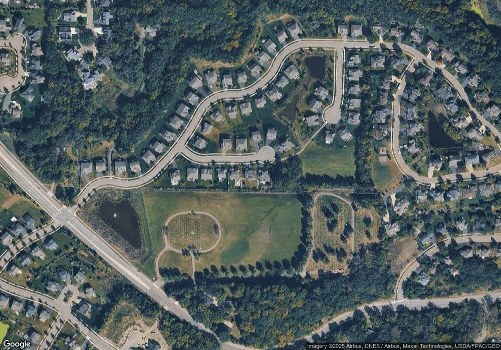
Map
Nearby Homes
- 749 Ensconced Way
- 755 Ensconced Way
- 707 Ensconced Way
- 719 Ensconced Way
- 759 Ensconced Way
- 713 Ensconced Way
- 3866 Founders Path
- 3857 Dakota Ct
- 705 Ensconced Way
- 3863 Founders Path
- 734 Ensconced Way
- 4644 Percheron Blvd
- 3771 Brookside Dr
- 4014 Holasek Path
- 3753 Brookside Dr
- 3759 Brookside Dr
- 3917 Carver Path
- 4546 Percheron Blvd
- 3780 Brookside Dr
- 3784 Brookside Dr
- 897 Cascade Way
- 903 Cascade Way
- 903 Cascade Way
- 891 Cascade Way
- 885 Cascade Way
- 885 Cascade Way
- 890 Cascade Way
- 890 Cascade Way
- 896 Cascade Way
- 896 Cascade Way
- 884 Cascade Dr
- 884 Cascade Way
- 879 Cascade Way
- 879 Cascade Way
- 902 Cascade Way
- 908 Cascade Way
- 908 Cascade Way
- 873 Cascade Dr
- 860 Cascade Dr
- 850 Cascade Dr
Your Personal Tour Guide
Ask me questions while you tour the home.