Estimated Value: $353,628 - $422,000
--
Bed
2
Baths
1,844
Sq Ft
$210/Sq Ft
Est. Value
About This Home
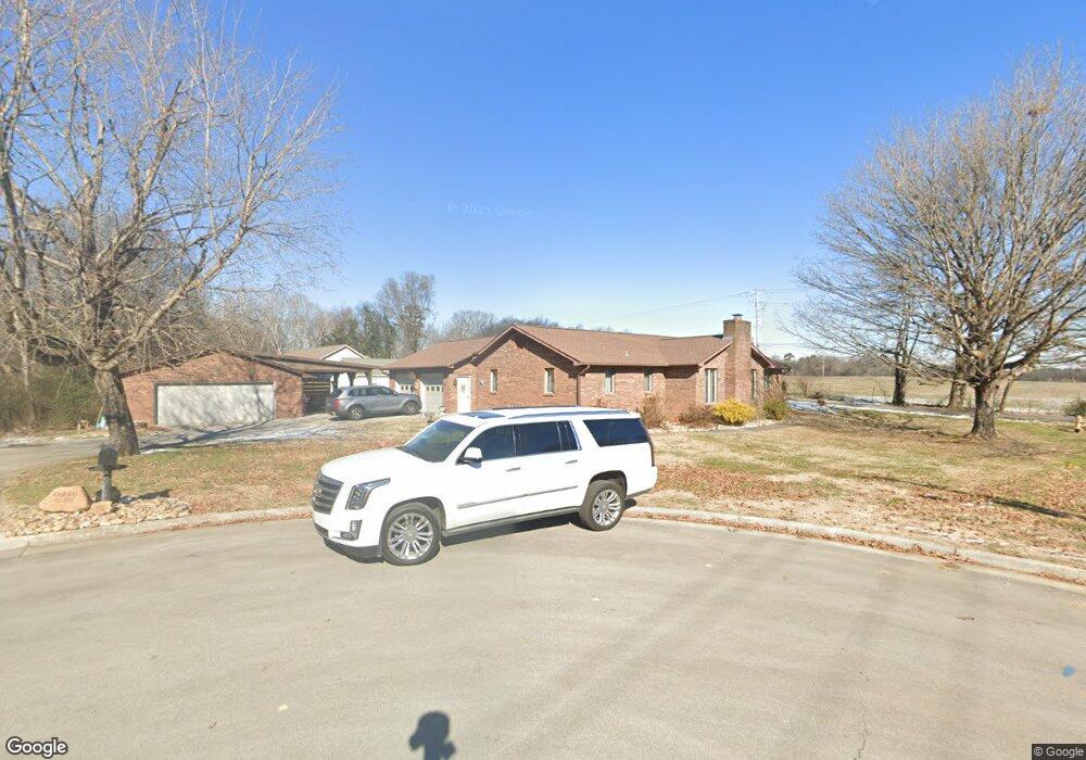
This home is located at 897 Darwin St, Alcoa, TN 37701 and is currently estimated at $386,907, approximately $209 per square foot. 897 Darwin St is a home located in Blount County with nearby schools including Alcoa Elementary School, Alcoa Middle School, and Alcoa High School.
Ownership History
Date
Name
Owned For
Owner Type
Purchase Details
Closed on
May 17, 2021
Sold by
Bledsoe Steve
Bought by
Carico Joshua R and Carico Carrie B
Current Estimated Value
Home Financials for this Owner
Home Financials are based on the most recent Mortgage that was taken out on this home.
Original Mortgage
$196,600
Outstanding Balance
$148,564
Interest Rate
3%
Mortgage Type
New Conventional
Estimated Equity
$238,343
Purchase Details
Closed on
Apr 23, 1993
Bought by
Bledsoe Helen C
Purchase Details
Closed on
Jul 2, 1981
Bought by
Bledsoe Don
Create a Home Valuation Report for This Property
The Home Valuation Report is an in-depth analysis detailing your home's value as well as a comparison with similar homes in the area
Home Values in the Area
Average Home Value in this Area
Purchase History
| Date | Buyer | Sale Price | Title Company |
|---|---|---|---|
| Carico Joshua R | $250,000 | -- | |
| Bledsoe Helen C | -- | -- | |
| Bledsoe Don | -- | -- |
Source: Public Records
Mortgage History
| Date | Status | Borrower | Loan Amount |
|---|---|---|---|
| Open | Carico Joshua R | $196,600 |
Source: Public Records
Tax History Compared to Growth
Tax History
| Year | Tax Paid | Tax Assessment Tax Assessment Total Assessment is a certain percentage of the fair market value that is determined by local assessors to be the total taxable value of land and additions on the property. | Land | Improvement |
|---|---|---|---|---|
| 2024 | $3,181 | $96,975 | $13,500 | $83,475 |
| 2023 | $3,181 | $96,975 | $13,500 | $83,475 |
| 2022 | $2,522 | $53,200 | $8,750 | $44,450 |
| 2021 | $2,522 | $53,200 | $8,750 | $44,450 |
| 2020 | $2,522 | $53,200 | $8,750 | $44,450 |
| 2019 | $2,522 | $53,200 | $8,750 | $44,450 |
| 2018 | $2,179 | $49,175 | $9,075 | $40,100 |
| 2017 | $2,179 | $49,175 | $9,075 | $40,100 |
| 2016 | $2,179 | $49,175 | $9,075 | $40,100 |
| 2015 | $2,021 | $49,175 | $9,075 | $40,100 |
| 2014 | $2,055 | $49,175 | $9,075 | $40,100 |
| 2013 | $2,055 | $50,000 | $0 | $0 |
Source: Public Records
Map
Nearby Homes
- 1765 N Wright Rd
- 1761 Dalton St
- 1340 Dalton St
- 1852 Kettering Rd
- 947 Poplar St
- 1321 Nobel St Unit E
- 946 Poplar St
- 1533 Springbrook Rd
- 960 Poplar St
- 0 N Wright Rd
- 966 Poplar St
- 1791 Ramsay St
- 653 E Hunt Rd
- 2620 Marshall St
- 2638 Orton Dr
- 1574 Tsuga Dr
- 186 Fletcher Ct
- 2527 Marshall St
- 1536 Tsuga Dr
- 1534 Tsuga Dr