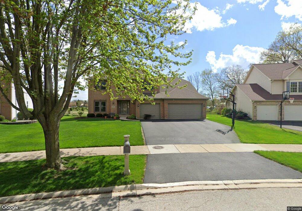
897 Napa Ln Aurora, IL 60502
Big Woods Marmion NeighborhoodEstimated Value: $571,000 - $597,000
5
Beds
--
Bath
2,820
Sq Ft
$208/Sq Ft
Est. Value
About This Home
This home is located at 897 Napa Ln, Aurora, IL 60502 and is currently estimated at $585,872, approximately $207 per square foot. 897 Napa Ln is a home located in Kane County with nearby schools including J B Nelson Elementary School, Sam Rotolo Middle School, and Batavia Sr High School.
Ownership History
Date
Name
Owned For
Owner Type
Purchase Details
Closed on
Feb 25, 2022
Sold by
Deller Steven W and Deller Alice S
Bought by
Steven W Deller And Alice S Deller Joint Revo
Current Estimated Value
Purchase Details
Closed on
Aug 26, 1998
Sold by
The Krughoff Company
Bought by
Deller Steven W and Deller Alice S
Home Financials for this Owner
Home Financials are based on the most recent Mortgage that was taken out on this home.
Original Mortgage
$120,000
Interest Rate
6.98%
Create a Home Valuation Report for This Property
The Home Valuation Report is an in-depth analysis detailing your home's value as well as a comparison with similar homes in the area
Home Values in the Area
Average Home Value in this Area
Purchase History
| Date | Buyer | Sale Price | Title Company |
|---|---|---|---|
| Steven W Deller And Alice S Deller Joint Revo | -- | Law Office Of Lauren E Jackson | |
| Deller Steven W | $250,500 | Chicago Title |
Source: Public Records
Mortgage History
| Date | Status | Borrower | Loan Amount |
|---|---|---|---|
| Previous Owner | Deller Steven W | $120,000 |
Source: Public Records
Tax History Compared to Growth
Tax History
| Year | Tax Paid | Tax Assessment Tax Assessment Total Assessment is a certain percentage of the fair market value that is determined by local assessors to be the total taxable value of land and additions on the property. | Land | Improvement |
|---|---|---|---|---|
| 2024 | $13,003 | $158,872 | $33,896 | $124,976 |
| 2023 | $12,869 | $144,193 | $30,764 | $113,429 |
| 2022 | $13,581 | $146,538 | $28,751 | $117,787 |
| 2021 | $13,120 | $138,978 | $27,268 | $111,710 |
| 2020 | $12,893 | $136,307 | $26,744 | $109,563 |
| 2019 | $12,717 | $131,481 | $25,797 | $105,684 |
| 2018 | $12,179 | $126,472 | $24,814 | $101,658 |
| 2017 | $11,953 | $122,302 | $23,996 | $98,306 |
| 2016 | $11,792 | $118,740 | $23,297 | $95,443 |
| 2015 | -- | $116,037 | $22,767 | $93,270 |
| 2014 | -- | $112,384 | $22,050 | $90,334 |
| 2013 | -- | $114,006 | $25,435 | $88,571 |
Source: Public Records
Map
Nearby Homes
- 733 Wind Energy Pass
- 3S201 S Raddant Rd
- 2856 Church Rd
- 810 Columbia Cir Unit 3
- 1580 Wind Energy Pass
- 616 Pinehurst Dr
- 1716 South Ct
- 3058 Preakness Ct
- 719 Pinecreek Dr
- 704 Greenbrier Ct
- 509 Wingfoot Dr
- 1639 Bentz Way
- 1548 Wind Energy Pass
- 473 Bond Dr
- 103 Harding Ct
- 242 Sussex Ln
- 1669 Pinnacle Ct
- 273 Ridley St
- 215 Dee Rd
- 221 Linn Ct Unit D