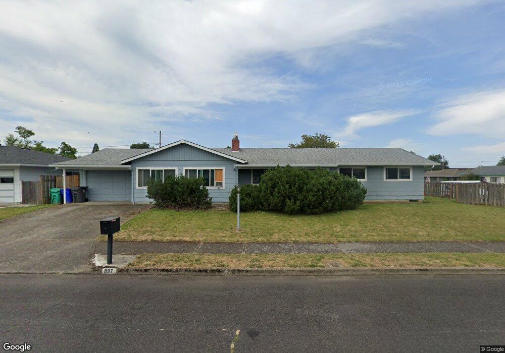
897 SE 226th Ave Gresham, OR 97030
North Central NeighborhoodEstimated Value: $431,423 - $449,000
4
Beds
2
Baths
1,569
Sq Ft
$282/Sq Ft
Est. Value
About This Home
This home is located at 897 SE 226th Ave, Gresham, OR 97030 and is currently estimated at $442,106, approximately $281 per square foot. 897 SE 226th Ave is a home located in Multnomah County with nearby schools including Highland Elementary School, Clear Creek Middle School, and Gresham High School.
Ownership History
Date
Name
Owned For
Owner Type
Purchase Details
Closed on
Nov 14, 2018
Sold by
Mulligan Hollis A and Stephens Kevin F
Bought by
Mulligan Hollis A and Stephens Michael D
Current Estimated Value
Home Financials for this Owner
Home Financials are based on the most recent Mortgage that was taken out on this home.
Original Mortgage
$231,000
Outstanding Balance
$202,299
Interest Rate
4.7%
Mortgage Type
New Conventional
Estimated Equity
$239,807
Purchase Details
Closed on
Oct 22, 2002
Sold by
Carsner Gail Ernest
Bought by
Mulligan Hollis A and Stephens Kevin F
Home Financials for this Owner
Home Financials are based on the most recent Mortgage that was taken out on this home.
Original Mortgage
$151,900
Interest Rate
6.09%
Mortgage Type
Purchase Money Mortgage
Create a Home Valuation Report for This Property
The Home Valuation Report is an in-depth analysis detailing your home's value as well as a comparison with similar homes in the area
Home Values in the Area
Average Home Value in this Area
Purchase History
| Date | Buyer | Sale Price | Title Company |
|---|---|---|---|
| Mulligan Hollis A | -- | Wfg Title | |
| Mulligan Hollis A | $159,900 | Pacific Nw Title |
Source: Public Records
Mortgage History
| Date | Status | Borrower | Loan Amount |
|---|---|---|---|
| Open | Mulligan Hollis A | $231,000 | |
| Closed | Mulligan Hollis A | $151,900 |
Source: Public Records
Tax History
| Year | Tax Paid | Tax Assessment Tax Assessment Total Assessment is a certain percentage of the fair market value that is determined by local assessors to be the total taxable value of land and additions on the property. | Land | Improvement |
|---|---|---|---|---|
| 2025 | $4,467 | $219,500 | -- | -- |
| 2024 | $4,276 | $213,110 | -- | -- |
| 2023 | $3,896 | $206,910 | $0 | $0 |
| 2022 | $3,787 | $200,890 | $0 | $0 |
| 2021 | $3,691 | $195,040 | $0 | $0 |
| 2020 | $3,473 | $189,360 | $0 | $0 |
| 2019 | $3,382 | $183,850 | $0 | $0 |
| 2018 | $3,225 | $178,500 | $0 | $0 |
| 2017 | $3,094 | $173,310 | $0 | $0 |
| 2016 | $2,728 | $168,270 | $0 | $0 |
Source: Public Records
Map
Nearby Homes
- 1035 SE 225th Ave
- 2730 NE Roberts Ave
- 535 NE 24th St
- 450 NE 22nd St
- 2775 NE Linden Ave
- 349 NE 18th St
- 1783 1791 NE Beech Place
- 210 SE 218th Ave
- 21532 SE Alder St
- 21525 SE Oak St
- 21553 SE Ankeny Terrace
- 54 NW 13th St
- 21400 SE Stark St Unit 2
- 21260 SE Stark St
- 132 SE 214th Ave
- 209 SE 214th Ave
- 1556 NE 27th Terrace
- 21033 SE Clay Ct
- 21016 SE Stark St Unit 71
- 21016 SE Stark St Unit 69
- 22522 SE Morrison Ct
- 923 SE 226th Ave
- 900 SE 226th Ave
- 906 SE 225th Ave
- 22549 SE Morrison Ct
- 920 SE 226th Ave
- 916 SE 225th Ave
- 935 SE 226th Ave
- 22527 SE Morrison Ct
- 22555 SE Morrison Ct
- 934 SE 226th Ave
- 928 SE 225th Ave
- 22511 SE Morrison Ct
- 943 SE 226th Ave
- 22615 SE Morrison Ct
- 2699 NE Roberts Ave
- 942 SE 226th Ave
- 940 SE 225th Ave
- 22441 SE Morrison Ct
- 22530 SE Morrison St
Your Personal Tour Guide
Ask me questions while you tour the home.