8980 320th St W Northfield, MN 55057
Estimated Value: $593,000 - $1,228,534
3
Beds
3
Baths
1,516
Sq Ft
$633/Sq Ft
Est. Value
About This Home
This home is located at 8980 320th St W, Northfield, MN 55057 and is currently estimated at $959,178, approximately $632 per square foot. 8980 320th St W is a home located in Dakota County with nearby schools including Greenvale Park Elementary School, Northfield Middle School, and Northfield Senior High School.
Ownership History
Date
Name
Owned For
Owner Type
Purchase Details
Closed on
Oct 11, 2002
Sold by
Stanton Joseph J and Stanton Donna M
Bought by
Rezac Troy R and Rezac Teresa L
Current Estimated Value
Purchase Details
Closed on
Apr 30, 2002
Sold by
Stanton Joseph J and Stanton Donna M
Bought by
Mcnearney Timothy
Purchase Details
Closed on
May 10, 1996
Sold by
Winter Francis L
Bought by
Leo Winter Francis
Create a Home Valuation Report for This Property
The Home Valuation Report is an in-depth analysis detailing your home's value as well as a comparison with similar homes in the area
Home Values in the Area
Average Home Value in this Area
Purchase History
| Date | Buyer | Sale Price | Title Company |
|---|---|---|---|
| Rezac Troy R | $135,000 | -- | |
| Mcnearney Timothy | $330,000 | -- | |
| Stanton Joseph J | $120,000 | -- | |
| Leo Winter Francis | $120,000 | -- |
Source: Public Records
Mortgage History
| Date | Status | Borrower | Loan Amount |
|---|---|---|---|
| Closed | Leo Winter Francis | -- |
Source: Public Records
Tax History Compared to Growth
Tax History
| Year | Tax Paid | Tax Assessment Tax Assessment Total Assessment is a certain percentage of the fair market value that is determined by local assessors to be the total taxable value of land and additions on the property. | Land | Improvement |
|---|---|---|---|---|
| 2024 | $5,074 | $1,061,900 | $592,100 | $469,800 |
| 2023 | $4,580 | $1,055,300 | $569,900 | $485,400 |
| 2022 | $4,304 | $933,700 | $486,900 | $446,800 |
| 2021 | $4,450 | $833,900 | $467,200 | $366,700 |
| 2020 | $4,406 | $797,800 | $440,300 | $357,500 |
| 2019 | $4,316 | $767,500 | $419,000 | $348,500 |
| 2018 | $4,658 | $739,400 | $416,500 | $322,900 |
| 2017 | $4,213 | $740,900 | $414,600 | $326,300 |
| 2016 | $4,430 | $754,700 | $450,000 | $304,700 |
| 2015 | $4,550 | $743,894 | $447,083 | $296,811 |
| 2014 | -- | $773,672 | $491,506 | $282,166 |
| 2013 | -- | $725,876 | $464,890 | $260,986 |
Source: Public Records
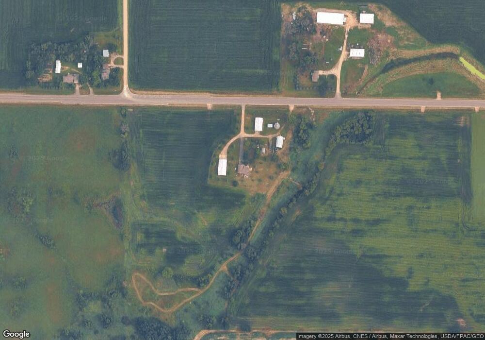
Map
Nearby Homes
- 10199 330th St W
- 31125 Jamaica Ave
- TBD Hwy 19 / Lonsdal Lonsdale Blvd E
- 1211 Lonsdale Blvd E
- 7243 Hazelwood Ave
- 6415 Hazelwood Ave
- 8858 298th Ct W
- XXXXX 330th St
- 9816 Base Line Rd
- 9206 Edgebrook Dr
- 2184 Bagley Way
- 1504 Independence Dr Unit 603
- 1507 Independence Dr
- 1105 Hawthorne Ct
- 2655 88th Ct W
- 1000 Cannon Valley Dr Unit 143
- 717 Lincoln St N
- 1108 Greenvale Ave W Unit 2
- 8833 Canby Ct
- 1025 Summerfield Dr
- 8941 320th St W
- 9209 320th St W
- 9211 320th St W
- 32061 Holyoke Ave
- 31660 Idalia Ave
- 9488 320th St W
- 32441 Holyoke Ave
- XXXX Idalia Ave
- 9662 320th St W
- 8370 320th St W
- 8370 320th St W
- 9785 330th St W
- 9605 320th St W
- 9799 330th St W
- 31205 Idalia Ave
- 8170 320th St W
- 9009 330th St W
- 9933 320th St W
- 9335 330th St W
- 9425 330th St W