899 N 1928th Rd Unit B Lecompton, KS 66050
Scenic Riverway NeighborhoodEstimated Value: $665,000 - $817,000
4
Beds
4
Baths
2,086
Sq Ft
$357/Sq Ft
Est. Value
About This Home
This home is located at 899 N 1928th Rd Unit B, Lecompton, KS 66050 and is currently estimated at $745,050, approximately $357 per square foot. 899 N 1928th Rd Unit B is a home located in Douglas County with nearby schools including Lecompton Elementary School, Perry-Lecompton Middle School, and Perry-Lecompton High School.
Ownership History
Date
Name
Owned For
Owner Type
Purchase Details
Closed on
Aug 30, 2019
Sold by
Harrod Victor Lynn and Harrod Lisa K
Bought by
Davis Keith and Davis Michelle Renee
Current Estimated Value
Home Financials for this Owner
Home Financials are based on the most recent Mortgage that was taken out on this home.
Original Mortgage
$434,150
Outstanding Balance
$381,014
Interest Rate
3.8%
Mortgage Type
New Conventional
Estimated Equity
$364,036
Purchase Details
Closed on
Jul 8, 2005
Sold by
Stewart John T
Bought by
Harrod Victor Lynn and Harrod Lisa K
Create a Home Valuation Report for This Property
The Home Valuation Report is an in-depth analysis detailing your home's value as well as a comparison with similar homes in the area
Home Values in the Area
Average Home Value in this Area
Purchase History
| Date | Buyer | Sale Price | Title Company |
|---|---|---|---|
| Davis Keith | -- | Security 1St Title | |
| Harrod Victor Lynn | -- | Commerce Title |
Source: Public Records
Mortgage History
| Date | Status | Borrower | Loan Amount |
|---|---|---|---|
| Open | Davis Keith | $434,150 |
Source: Public Records
Tax History
| Year | Tax Paid | Tax Assessment Tax Assessment Total Assessment is a certain percentage of the fair market value that is determined by local assessors to be the total taxable value of land and additions on the property. | Land | Improvement |
|---|---|---|---|---|
| 2025 | $9,476 | $81,892 | $7,659 | $74,233 |
| 2024 | $9,114 | $78,948 | $7,429 | $71,519 |
| 2023 | $8,742 | $73,485 | $6,969 | $66,516 |
| 2022 | $8,758 | $71,139 | $6,049 | $65,090 |
| 2021 | $7,649 | $59,685 | $5,957 | $53,728 |
| 2020 | $7,528 | $59,685 | $5,957 | $53,728 |
| 2019 | $5,524 | $43,953 | $5,773 | $38,180 |
| 2018 | $5,492 | $43,586 | $5,693 | $37,893 |
| 2017 | $5,362 | $42,344 | $5,693 | $36,651 |
| 2016 | $5,213 | $41,837 | $6,440 | $35,397 |
| 2015 | -- | $41,837 | $6,440 | $35,397 |
| 2014 | -- | $42,033 | $6,440 | $35,593 |
Source: Public Records
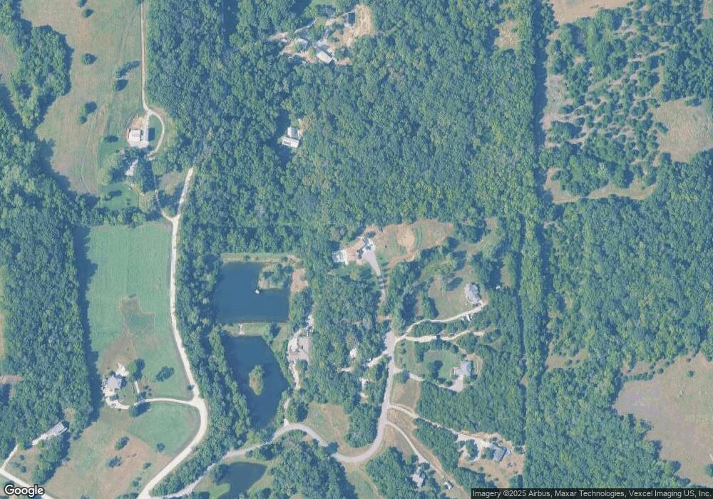
Map
Nearby Homes
- 1937 E 850 Rd
- 1770 E 960 Rd
- 6800 Lakeview Rd
- 0000 N 1851 Diag Rd
- 663 N 1851 Diag Rd
- 611 Jones St
- 1003 2nd St
- 323 N Eaton Dr
- 00000 Vacant - Phillips Rd
- 5117 Parker Ct
- 0000 E 600 Rd
- 205 Campbell Ct
- 5237 Carson Dr
- 237 Landon Ct
- 5616 Maggie Way
- Lot 2 N Running Ridge Rd
- 5901 Maggie Way
- 5245 Overland Dr Unit C9
- 5245 Overland Dr Unit B25
- 406 N Olivia Ave
- 899 B N 1928 Rd
- 899 N 1928 Rd
- 898 N 1928th Rd
- 878 N 1928th Rd
- 878 N 1928 Rd
- 1958 E 850th Rd
- 889 N 1928 Rd
- 889 N 1928th Rd
- 1940 E 850 Rd
- 1940 E 850th Rd
- 1962 E 850th Rd
- 1962 E 850th Rd
- 881 N 1928th Rd
- 881 N 1928 Rd
- 885 N 1928th Rd
- 885 N 1928 Rd
- 1951 E 850th Rd
- 1935 E 850th Rd
- 873 N 1928th Rd
- 1970 E 850th Rd
Your Personal Tour Guide
Ask me questions while you tour the home.