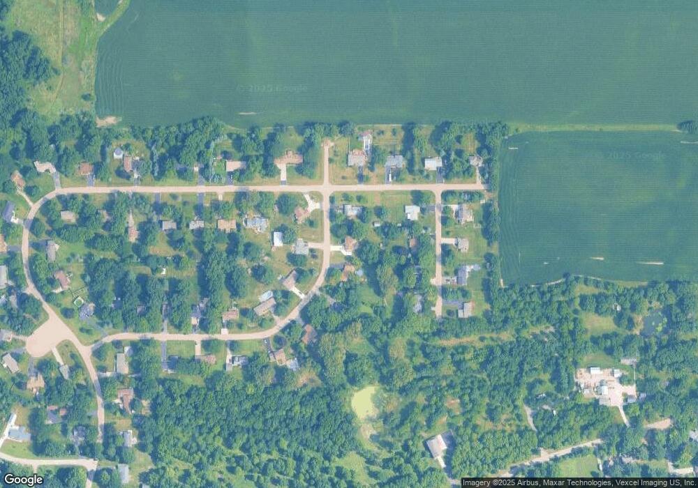
8S603 Bergman Dr Big Rock, IL 60511
Estimated Value: $451,000 - $471,000
6
Beds
3
Baths
2,947
Sq Ft
$156/Sq Ft
Est. Value
About This Home
This home is located at 8S603 Bergman Dr, Big Rock, IL 60511 and is currently estimated at $460,474, approximately $156 per square foot. 8S603 Bergman Dr is a home located in Kane County with nearby schools including Hinckley-Big Rock Elementary School and Hinckley-Big Rock High School.
Ownership History
Date
Name
Owned For
Owner Type
Purchase Details
Closed on
Sep 5, 2007
Sold by
Roberts Peter D and Roberts Dawn M
Bought by
Carlson Erik E and Carlson Jennifer L
Current Estimated Value
Home Financials for this Owner
Home Financials are based on the most recent Mortgage that was taken out on this home.
Original Mortgage
$201,600
Outstanding Balance
$128,031
Interest Rate
6.63%
Mortgage Type
Purchase Money Mortgage
Estimated Equity
$332,443
Purchase Details
Closed on
Mar 25, 1998
Sold by
Crooks Dennis D and Crooks Linda K
Bought by
Roberts Peter D and Roberts Dawn M
Home Financials for this Owner
Home Financials are based on the most recent Mortgage that was taken out on this home.
Original Mortgage
$162,000
Interest Rate
11.1%
Create a Home Valuation Report for This Property
The Home Valuation Report is an in-depth analysis detailing your home's value as well as a comparison with similar homes in the area
Home Values in the Area
Average Home Value in this Area
Purchase History
| Date | Buyer | Sale Price | Title Company |
|---|---|---|---|
| Carlson Erik E | $252,000 | Multiple | |
| Roberts Peter D | $180,000 | -- |
Source: Public Records
Mortgage History
| Date | Status | Borrower | Loan Amount |
|---|---|---|---|
| Open | Carlson Erik E | $201,600 | |
| Previous Owner | Roberts Peter D | $162,000 |
Source: Public Records
Tax History Compared to Growth
Tax History
| Year | Tax Paid | Tax Assessment Tax Assessment Total Assessment is a certain percentage of the fair market value that is determined by local assessors to be the total taxable value of land and additions on the property. | Land | Improvement |
|---|---|---|---|---|
| 2024 | $7,675 | $120,281 | $18,539 | $101,742 |
| 2023 | $7,380 | $111,002 | $17,109 | $93,893 |
| 2022 | $7,167 | $104,139 | $16,051 | $88,088 |
| 2021 | $7,313 | $97,857 | $15,083 | $82,774 |
| 2020 | $7,171 | $94,511 | $14,567 | $79,944 |
| 2019 | $6,875 | $89,831 | $13,846 | $75,985 |
| 2018 | $7,223 | $89,312 | $13,348 | $75,964 |
| 2017 | $6,977 | $84,463 | $12,623 | $71,840 |
| 2016 | $6,677 | $77,839 | $12,623 | $65,216 |
| 2015 | -- | $65,861 | $12,418 | $53,443 |
| 2014 | -- | $63,240 | $12,418 | $50,822 |
| 2013 | -- | $65,444 | $12,768 | $52,676 |
Source: Public Records
Map
Nearby Homes
- 45W127 Jericho Rd
- 1650 Highway 30
- 240 Snow St
- 126 S Sugar Grove Pkwy
- 92 Maple St
- 191 Meadows Dr
- 307 Jefferson Ave
- 389 Mallard Ln
- 369 Mallard Ln
- 110 S Sugar Grove Pkwy
- 204 S Lincoln Ave
- 226 W Park Ave Unit A
- 193 W Park Ave Unit A
- 73 Neil Rd
- 124 W Park Ave Unit D
- 213 Oak St
- 199 Vale Ave Unit 1
- 171 Willoughby Ct Unit E
- 4568 Garritano St Unit A
- 181 Willoughby Ct Unit B
- 45W349 John St
- 8S621 Bergman Dr Unit 3
- 8S610 Bourtzos Rd
- 8S632 Bourtzos Rd
- 8S580 Bourtzos Rd
- 8S600 Bergman Dr
- 8S649 Bergman Dr
- 45W393 John St
- 8S656 Bourtzos Rd
- 8S644 Bergman Dr
- 45W348 John St
- 45W300 John St
- 45W433 John St
- 45W394 John St Unit 2
- 8S609 Bourtzos Rd Unit 3
- 45W379 Bergman Dr
- 45W406 Bergman Dr
- 8S631 Bourtzos Rd Unit 3
- 8S581 Bourtzos Rd
- 45W270 John St
