8S621 Bergman Dr Unit 3 Big Rock, IL 60511
Estimated Value: $365,584 - $454,000
4
Beds
2
Baths
2,000
Sq Ft
$208/Sq Ft
Est. Value
About This Home
This home is located at 8S621 Bergman Dr Unit 3, Big Rock, IL 60511 and is currently estimated at $415,146, approximately $207 per square foot. 8S621 Bergman Dr Unit 3 is a home located in Kane County with nearby schools including Hinckley-Big Rock Elementary School and Hinckley-Big Rock High School.
Ownership History
Date
Name
Owned For
Owner Type
Purchase Details
Closed on
Oct 15, 1998
Sold by
Leifheit Louis K and Leifheit Judy L
Bought by
Runge Frederick C and Runge Karen D
Current Estimated Value
Home Financials for this Owner
Home Financials are based on the most recent Mortgage that was taken out on this home.
Original Mortgage
$130,000
Outstanding Balance
$28,413
Interest Rate
6.88%
Estimated Equity
$386,733
Purchase Details
Closed on
Sep 1, 1995
Sold by
Hosticka Mark A and Hosticka Wendy S
Bought by
Leifheit Louis K and Leifheit Judy L
Home Financials for this Owner
Home Financials are based on the most recent Mortgage that was taken out on this home.
Original Mortgage
$125,000
Interest Rate
7.76%
Create a Home Valuation Report for This Property
The Home Valuation Report is an in-depth analysis detailing your home's value as well as a comparison with similar homes in the area
Home Values in the Area
Average Home Value in this Area
Purchase History
| Date | Buyer | Sale Price | Title Company |
|---|---|---|---|
| Runge Frederick C | $175,000 | Fox Title Company | |
| Leifheit Louis K | $165,000 | Wheatland Title |
Source: Public Records
Mortgage History
| Date | Status | Borrower | Loan Amount |
|---|---|---|---|
| Open | Runge Frederick C | $130,000 | |
| Previous Owner | Leifheit Louis K | $125,000 |
Source: Public Records
Tax History Compared to Growth
Tax History
| Year | Tax Paid | Tax Assessment Tax Assessment Total Assessment is a certain percentage of the fair market value that is determined by local assessors to be the total taxable value of land and additions on the property. | Land | Improvement |
|---|---|---|---|---|
| 2024 | $5,486 | $88,261 | $18,539 | $69,722 |
| 2023 | $5,263 | $81,452 | $17,109 | $64,343 |
| 2022 | $5,143 | $76,416 | $16,051 | $60,365 |
| 2021 | $5,239 | $71,806 | $15,083 | $56,723 |
| 2020 | $5,132 | $69,351 | $14,567 | $54,784 |
| 2019 | $4,847 | $65,104 | $13,846 | $51,258 |
| 2018 | $4,940 | $62,976 | $13,348 | $49,628 |
| 2017 | $4,762 | $59,557 | $12,623 | $46,934 |
| 2016 | $4,616 | $55,668 | $12,623 | $43,045 |
| 2015 | -- | $54,233 | $12,418 | $41,815 |
| 2014 | -- | $52,687 | $12,418 | $40,269 |
| 2013 | -- | $54,171 | $12,768 | $41,403 |
Source: Public Records
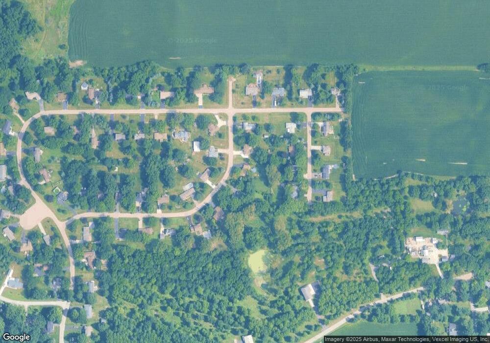
Map
Nearby Homes
- 45W127 Jericho Rd
- 1650 Highway 30
- 240 Snow St
- 126 S Sugar Grove Pkwy
- 92 Maple St
- 191 Meadows Dr
- 307 Jefferson Ave
- 389 Mallard Ln
- 204 S Lincoln Ave
- 369 Mallard Ln
- 110 S Sugar Grove Pkwy
- 226 W Park Ave Unit A
- 193 W Park Ave Unit A
- 73 Neil Rd
- 124 W Park Ave Unit D
- 213 Oak St
- 199 Vale Ave Unit 1
- 171 Willoughby Ct Unit E
- 4568 Garritano St Unit A
- 181 Willoughby Ct Unit B
- 8S603 Bergman Dr
- 8S649 Bergman Dr
- 8S600 Bergman Dr
- 8S644 Bergman Dr
- 8S632 Bourtzos Rd
- 45W349 John St
- 8S610 Bourtzos Rd
- 8S656 Bourtzos Rd
- 45W379 Bergman Dr
- 45W393 John St
- 8S580 Bourtzos Rd
- 45W406 Bergman Dr
- 45W433 John St
- 45W407 Bergman Dr
- 45W348 John St
- 45W444 Bergman Dr
- 8S631 Bourtzos Rd Unit 3
- 45W453 John St
- 45W394 John St Unit 2
- 45W300 John St