8S632 Bourtzos Rd Big Rock, IL 60511
Estimated Value: $423,997 - $454,000
4
Beds
3
Baths
2,360
Sq Ft
$186/Sq Ft
Est. Value
About This Home
This home is located at 8S632 Bourtzos Rd, Big Rock, IL 60511 and is currently estimated at $438,999, approximately $186 per square foot. 8S632 Bourtzos Rd is a home located in Kane County with nearby schools including Hinckley-Big Rock Elementary School and Hinckley-Big Rock High School.
Ownership History
Date
Name
Owned For
Owner Type
Purchase Details
Closed on
Sep 28, 2001
Sold by
Johnson Jeffrey A and Johnson Beth M
Bought by
Magro Michael J and Magro Sarah J
Current Estimated Value
Home Financials for this Owner
Home Financials are based on the most recent Mortgage that was taken out on this home.
Original Mortgage
$170,000
Outstanding Balance
$66,933
Interest Rate
6.97%
Estimated Equity
$372,066
Create a Home Valuation Report for This Property
The Home Valuation Report is an in-depth analysis detailing your home's value as well as a comparison with similar homes in the area
Home Values in the Area
Average Home Value in this Area
Purchase History
| Date | Buyer | Sale Price | Title Company |
|---|---|---|---|
| Magro Michael J | $212,500 | -- |
Source: Public Records
Mortgage History
| Date | Status | Borrower | Loan Amount |
|---|---|---|---|
| Open | Magro Michael J | $170,000 | |
| Closed | Magro Michael J | $23,906 |
Source: Public Records
Tax History Compared to Growth
Tax History
| Year | Tax Paid | Tax Assessment Tax Assessment Total Assessment is a certain percentage of the fair market value that is determined by local assessors to be the total taxable value of land and additions on the property. | Land | Improvement |
|---|---|---|---|---|
| 2024 | $7,403 | $116,314 | $16,916 | $99,398 |
| 2023 | $7,118 | $107,340 | $15,611 | $91,729 |
| 2022 | $6,916 | $100,704 | $14,646 | $86,058 |
| 2021 | $7,055 | $94,628 | $13,762 | $80,866 |
| 2020 | $6,918 | $91,392 | $13,291 | $78,101 |
| 2019 | $6,632 | $86,866 | $12,633 | $74,233 |
| 2018 | $6,670 | $82,938 | $12,179 | $70,759 |
| 2017 | $6,441 | $78,436 | $11,518 | $66,918 |
| 2016 | $6,290 | $73,676 | $11,518 | $62,158 |
| 2015 | -- | $66,921 | $11,331 | $55,590 |
| 2014 | -- | $64,646 | $11,331 | $53,315 |
| 2013 | -- | $66,910 | $11,650 | $55,260 |
Source: Public Records
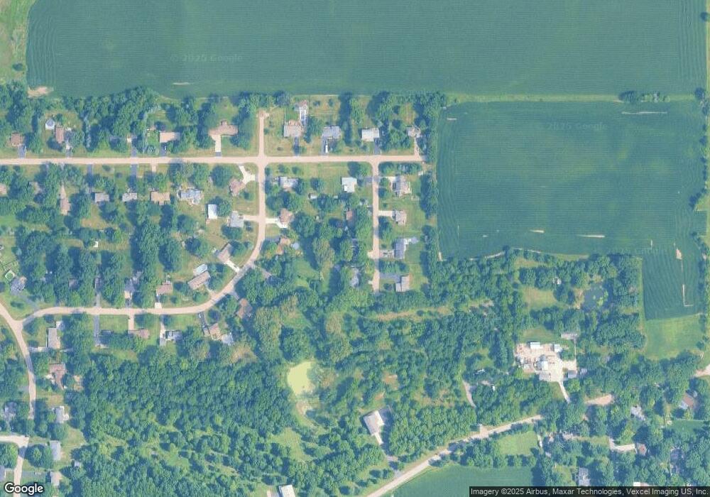
Map
Nearby Homes
- 45W127 Jericho Rd
- 1650 Highway 30
- 240 Snow St
- 126 S Sugar Grove Pkwy
- 92 Maple St
- 191 Meadows Dr
- 307 Jefferson Ave
- 389 Mallard Ln
- 369 Mallard Ln
- 110 S Sugar Grove Pkwy
- 226 W Park Ave Unit A
- 204 S Lincoln Ave
- 73 Neil Rd
- 193 W Park Ave Unit A
- 124 W Park Ave Unit D
- 171 Willoughby Ct Unit E
- 199 Vale Ave Unit 1
- 4568 Garritano St Unit A
- 181 Willoughby Ct Unit B
- 4555 Camden Ln Unit C
- 8S610 Bourtzos Rd
- 8S656 Bourtzos Rd
- 8S603 Bergman Dr
- 8S621 Bergman Dr Unit 3
- 8S580 Bourtzos Rd
- 8S631 Bourtzos Rd Unit 3
- 8S649 Bergman Dr
- 8S609 Bourtzos Rd Unit 3
- 8S655 Bourtzos Rd
- 45W349 John St
- 8S581 Bourtzos Rd
- 8S600 Bergman Dr
- 45W379 Bergman Dr
- 45W300 John St
- 8S644 Bergman Dr
- 45W270 John St
- 45W393 John St
- 45W348 John St
- 45W240 John St Unit 3
- 45W406 Bergman Dr