Estimated Value: $243,000 - $289,000
2
Beds
2
Baths
2,358
Sq Ft
$113/Sq Ft
Est. Value
About This Home
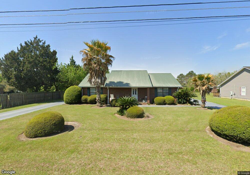
This home is located at 9 26th St NE, Cairo, GA 39828 and is currently estimated at $267,621, approximately $113 per square foot. 9 26th St NE is a home located in Grady County with nearby schools including Cairo High School.
Ownership History
Date
Name
Owned For
Owner Type
Purchase Details
Closed on
Sep 30, 2025
Sold by
Carraway Winston
Bought by
Carraway Chaffee
Current Estimated Value
Purchase Details
Closed on
Aug 22, 2025
Sold by
Carraway Winston
Bought by
Carraway Chaffe
Purchase Details
Closed on
Aug 26, 2005
Sold by
Wisham Richard D
Bought by
Carraway Winston
Purchase Details
Closed on
May 11, 2004
Sold by
Wisham Ricky L
Bought by
Wisham Richard D
Purchase Details
Closed on
Oct 2, 2000
Sold by
Wisham Ricky L
Bought by
Wisham Ricky L
Purchase Details
Closed on
Jun 15, 1992
Bought by
Wisham Lorena W
Create a Home Valuation Report for This Property
The Home Valuation Report is an in-depth analysis detailing your home's value as well as a comparison with similar homes in the area
Purchase History
| Date | Buyer | Sale Price | Title Company |
|---|---|---|---|
| Carraway Chaffee | -- | -- | |
| Carraway Chaffe | -- | -- | |
| Carraway Winston | $88,000 | -- | |
| Wisham Richard D | -- | -- | |
| Wisham Ricky L | -- | -- | |
| Wisham Lorena W | $4,000 | -- |
Source: Public Records
Tax History
| Year | Tax Paid | Tax Assessment Tax Assessment Total Assessment is a certain percentage of the fair market value that is determined by local assessors to be the total taxable value of land and additions on the property. | Land | Improvement |
|---|---|---|---|---|
| 2024 | $3,330 | $99,544 | $4,048 | $95,496 |
| 2023 | $2,281 | $63,278 | $4,800 | $58,478 |
| 2022 | $2,173 | $58,032 | $4,800 | $53,232 |
| 2021 | $2,179 | $58,032 | $4,800 | $53,232 |
| 2020 | $2,184 | $58,032 | $4,800 | $53,232 |
| 2019 | $2,184 | $58,032 | $4,800 | $53,232 |
| 2018 | $2,077 | $58,032 | $4,800 | $53,232 |
| 2017 | $1,998 | $58,032 | $4,800 | $53,232 |
| 2016 | $1,797 | $51,203 | $4,800 | $46,403 |
| 2015 | $1,777 | $51,203 | $4,800 | $46,403 |
| 2014 | -- | $51,203 | $4,800 | $46,403 |
| 2013 | -- | $48,484 | $4,800 | $43,684 |
Source: Public Records
Map
Nearby Homes
Your Personal Tour Guide
Ask me questions while you tour the home.