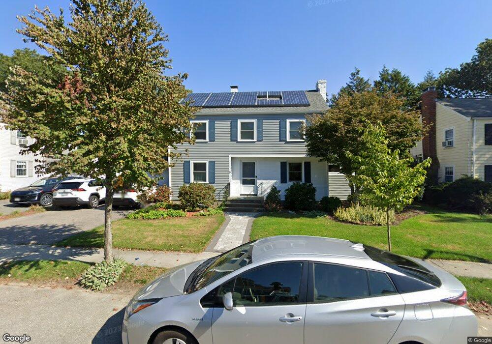
9 Anis Rd Belmont, MA 02478
Cushing Square NeighborhoodEstimated Value: $1,362,000 - $1,589,486
3
Beds
3
Baths
1,700
Sq Ft
$871/Sq Ft
Est. Value
About This Home
This home is located at 9 Anis Rd, Belmont, MA 02478 and is currently estimated at $1,479,872, approximately $870 per square foot. 9 Anis Rd is a home located in Middlesex County with nearby schools including Mary Lee Burbank Elementary School, Winthrop L Chenery Middle School, and Belmont High School.
Ownership History
Date
Name
Owned For
Owner Type
Purchase Details
Closed on
Jul 24, 1990
Sold by
Frederiksen John R
Bought by
Griffin Paul J
Current Estimated Value
Home Financials for this Owner
Home Financials are based on the most recent Mortgage that was taken out on this home.
Original Mortgage
$160,000
Interest Rate
9.94%
Mortgage Type
Purchase Money Mortgage
Create a Home Valuation Report for This Property
The Home Valuation Report is an in-depth analysis detailing your home's value as well as a comparison with similar homes in the area
Home Values in the Area
Average Home Value in this Area
Purchase History
| Date | Buyer | Sale Price | Title Company |
|---|---|---|---|
| Griffin Paul J | $274,675 | -- |
Source: Public Records
Mortgage History
| Date | Status | Borrower | Loan Amount |
|---|---|---|---|
| Closed | Griffin Paul J | $140,000 | |
| Closed | Griffin Paul J | $145,000 | |
| Closed | Griffin Paul J | $160,000 |
Source: Public Records
Tax History Compared to Growth
Tax History
| Year | Tax Paid | Tax Assessment Tax Assessment Total Assessment is a certain percentage of the fair market value that is determined by local assessors to be the total taxable value of land and additions on the property. | Land | Improvement |
|---|---|---|---|---|
| 2025 | $15,741 | $1,382,000 | $803,000 | $579,000 |
| 2024 | $15,449 | $1,463,000 | $1,001,000 | $462,000 |
| 2023 | $14,545 | $1,294,000 | $873,000 | $421,000 |
| 2022 | $13,629 | $1,214,000 | $821,000 | $393,000 |
| 2021 | $13,629 | $1,181,000 | $855,000 | $326,000 |
| 2020 | $12,804 | $1,164,000 | $838,000 | $326,000 |
| 2019 | $10,888 | $933,000 | $623,000 | $310,000 |
| 2018 | $4,663 | $876,000 | $566,000 | $310,000 |
| 2017 | $10,520 | $829,000 | $519,000 | $310,000 |
| 2016 | $10,375 | $826,000 | $519,000 | $307,000 |
| 2015 | $9,533 | $739,000 | $432,000 | $307,000 |
Source: Public Records
Map
Nearby Homes
- 73 Foster Rd Unit 2
- 105 Watson Rd
- 118 Blanchard Rd
- 30 Unity Ave Unit 30
- 36 Madison St
- 161 Cushing St
- 48 Concord Ave
- 10 Marlboro St Unit 1
- 276 Belmont St Unit 1
- 4 Merrill Ave
- 147 Langdon Ave Unit 149
- 163 Belmont St
- 95 Cushing St
- 16 Ericsson St
- 133 Hillside Rd
- 15 Sunset Rd
- 56-58 Edgecliff Rd
- 87 Templeton Pkwy Unit 3
- 48 Hamilton Rd
- 46 Hamilton Rd