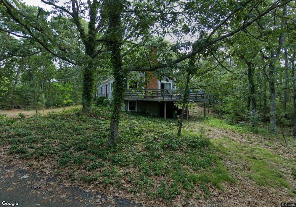
9 Beachwood Dr Brewster, MA 02631
Estimated Value: $740,550 - $842,000
4
Beds
2
Baths
1,638
Sq Ft
$474/Sq Ft
Est. Value
About This Home
This home is located at 9 Beachwood Dr, Brewster, MA 02631 and is currently estimated at $775,888, approximately $473 per square foot. 9 Beachwood Dr is a home located in Barnstable County with nearby schools including Nauset Regional Middle School, Nauset Regional High School, and Latham School.
Ownership History
Date
Name
Owned For
Owner Type
Purchase Details
Closed on
Jul 6, 2017
Sold by
Booth Alden D
Bought by
Int Alden D Booth
Current Estimated Value
Purchase Details
Closed on
Oct 21, 2014
Sold by
Booth Newell S and Booth Mary L
Bought by
Booth Marilyn L and Booth Edwin W
Purchase Details
Closed on
Sep 11, 1968
Bought by
Booth Marilyn Louise
Create a Home Valuation Report for This Property
The Home Valuation Report is an in-depth analysis detailing your home's value as well as a comparison with similar homes in the area
Home Values in the Area
Average Home Value in this Area
Purchase History
| Date | Buyer | Sale Price | Title Company |
|---|---|---|---|
| Int Alden D Booth | -- | -- | |
| Booth Marilyn L | -- | -- | |
| Booth Marilyn Louise | -- | -- |
Source: Public Records
Tax History Compared to Growth
Tax History
| Year | Tax Paid | Tax Assessment Tax Assessment Total Assessment is a certain percentage of the fair market value that is determined by local assessors to be the total taxable value of land and additions on the property. | Land | Improvement |
|---|---|---|---|---|
| 2025 | $4,132 | $600,600 | $308,200 | $292,400 |
| 2024 | $3,860 | $566,800 | $290,700 | $276,100 |
| 2023 | $3,565 | $510,000 | $259,500 | $250,500 |
| 2022 | $3,343 | $425,800 | $216,200 | $209,600 |
| 2021 | $3,205 | $373,500 | $188,000 | $185,500 |
| 2020 | $3,145 | $364,800 | $188,000 | $176,800 |
| 2019 | $3,035 | $353,700 | $180,800 | $172,900 |
| 2018 | $2,864 | $346,700 | $180,800 | $165,900 |
| 2017 | $2,857 | $340,500 | $180,800 | $159,700 |
| 2016 | $2,746 | $325,800 | $177,300 | $148,500 |
| 2015 | $2,650 | $320,800 | $173,800 | $147,000 |
Source: Public Records
Map
Nearby Homes
- 15 Surrey Ln
- 43 Surrey Ln
- 34 Surrey Ln
- 18 Surrey Ln
- 184 Brook Trail Rd
- 55 Surrey Ln
- 46 Surrey Ln
- 170 Brook Trail Rd
- 25 Beachwood Dr
- 29 High Point Dr
- 17 Meadow Glen Ln
- 35 Beachwood Dr
- 65 Surrey Ln
- 27 Meadow Glen Ln
- 0 High Point D
- 68 Surrey Ln
- 148 Brook Trail Rd
- 171 Brook Trail Rd
- 219 Pine Bluff Rd
- 185 Brook Trail Rd