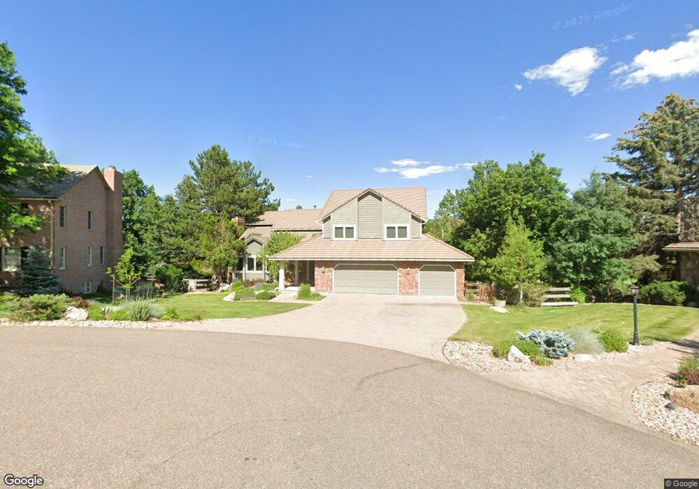
9 Bobcat Ln Littleton, CO 80127
Estimated Value: $1,490,075 - $1,839,000
4
Beds
9
Baths
3,625
Sq Ft
$463/Sq Ft
Est. Value
About This Home
This home is located at 9 Bobcat Ln, Littleton, CO 80127 and is currently estimated at $1,677,269, approximately $462 per square foot. 9 Bobcat Ln is a home located in Jefferson County with nearby schools including Bradford K8 South, Bradford K8 North, and Chatfield High School.
Ownership History
Date
Name
Owned For
Owner Type
Purchase Details
Closed on
Jun 8, 2007
Sold by
Fair Gregory T and Fair Lee An
Bought by
Asselin Stuart L and Asselin Rosann I
Current Estimated Value
Home Financials for this Owner
Home Financials are based on the most recent Mortgage that was taken out on this home.
Original Mortgage
$649,000
Outstanding Balance
$396,259
Interest Rate
6.15%
Mortgage Type
Purchase Money Mortgage
Estimated Equity
$1,281,010
Purchase Details
Closed on
Sep 26, 2003
Sold by
Smith Nancy V
Bought by
Fair Gregory T and Fair Lee An
Home Financials for this Owner
Home Financials are based on the most recent Mortgage that was taken out on this home.
Original Mortgage
$482,200
Interest Rate
5.12%
Mortgage Type
Purchase Money Mortgage
Purchase Details
Closed on
Sep 23, 2003
Sold by
Gill Rsalind A
Bought by
Smith Nancy
Home Financials for this Owner
Home Financials are based on the most recent Mortgage that was taken out on this home.
Original Mortgage
$482,200
Interest Rate
5.12%
Mortgage Type
Purchase Money Mortgage
Purchase Details
Closed on
Aug 1, 2002
Sold by
Smith Nancy V
Bought by
9 Bobcat Lane Trust
Purchase Details
Closed on
Mar 17, 1999
Sold by
Misra Mohan S
Bought by
Smith Nancy
Home Financials for this Owner
Home Financials are based on the most recent Mortgage that was taken out on this home.
Original Mortgage
$381,600
Interest Rate
6.74%
Create a Home Valuation Report for This Property
The Home Valuation Report is an in-depth analysis detailing your home's value as well as a comparison with similar homes in the area
Home Values in the Area
Average Home Value in this Area
Purchase History
| Date | Buyer | Sale Price | Title Company |
|---|---|---|---|
| Asselin Stuart L | $825,000 | None Available | |
| Fair Gregory T | $602,780 | Oxford Title Llc | |
| Smith Nancy | -- | -- | |
| 9 Bobcat Lane Trust | -- | -- | |
| Smith Nancy | $424,000 | First American Heritage Titl |
Source: Public Records
Mortgage History
| Date | Status | Borrower | Loan Amount |
|---|---|---|---|
| Open | Asselin Stuart L | $649,000 | |
| Previous Owner | Fair Gregory T | $482,200 | |
| Previous Owner | Smith Nancy | $381,600 | |
| Closed | Fair Gregory T | $60,200 |
Source: Public Records
Tax History Compared to Growth
Tax History
| Year | Tax Paid | Tax Assessment Tax Assessment Total Assessment is a certain percentage of the fair market value that is determined by local assessors to be the total taxable value of land and additions on the property. | Land | Improvement |
|---|---|---|---|---|
| 2024 | $9,329 | $87,141 | $33,587 | $53,554 |
| 2023 | $9,329 | $87,141 | $33,587 | $53,554 |
| 2022 | $7,500 | $68,518 | $28,145 | $40,373 |
| 2021 | $7,616 | $70,490 | $28,955 | $41,535 |
| 2020 | $7,030 | $65,283 | $26,024 | $39,259 |
| 2019 | $6,946 | $65,283 | $26,024 | $39,259 |
| 2018 | $7,230 | $65,616 | $20,029 | $45,587 |
| 2017 | $6,723 | $65,616 | $20,029 | $45,587 |
| 2016 | $6,828 | $63,067 | $22,797 | $40,270 |
| 2015 | $6,303 | $63,067 | $22,797 | $40,270 |
| 2014 | $6,303 | $54,855 | $18,072 | $36,783 |
Source: Public Records
Map
Nearby Homes
- 7 Red Fox Ln
- 3 Mourning Dove Ln
- 6 Blue Grouse Ridge Rd
- 24 Lark Bunting Ln
- 61 N Ranch Rd
- 10 Mourning Dove Ln
- 6634 Window Rock Ln
- 2 Silvermound
- 6227 Colorow Dr
- 18 Blue Sage
- 12 Long Spur
- 6155 Meadowbrook Dr
- 6 Amberwood Ln
- 6387 Willow Springs Dr
- 16285 Sandstone Dr
- 16653 Golden Rod Ln
- 87 Deerwood Dr
- 6170 Falcon Ridge Way
- 16066 Ridge Tee Dr
- 5569 Willow Springs Dr