9 Bolduc Way Hudson, NH 03051
Estimated Value: $1,018,000 - $1,238,000
4
Beds
4
Baths
6,391
Sq Ft
$178/Sq Ft
Est. Value
About This Home
This home is located at 9 Bolduc Way, Hudson, NH 03051 and is currently estimated at $1,135,517, approximately $177 per square foot. 9 Bolduc Way is a home with nearby schools including Tabernacle Christian School.
Ownership History
Date
Name
Owned For
Owner Type
Purchase Details
Closed on
Aug 11, 2021
Sold by
Mylene Drouin Ret and Drouin
Bought by
Bolduc Tommy and Drouin Mylene
Current Estimated Value
Home Financials for this Owner
Home Financials are based on the most recent Mortgage that was taken out on this home.
Original Mortgage
$1,999,999
Outstanding Balance
$1,815,879
Interest Rate
2.8%
Mortgage Type
Stand Alone Refi Refinance Of Original Loan
Estimated Equity
-$680,362
Create a Home Valuation Report for This Property
The Home Valuation Report is an in-depth analysis detailing your home's value as well as a comparison with similar homes in the area
Home Values in the Area
Average Home Value in this Area
Purchase History
| Date | Buyer | Sale Price | Title Company |
|---|---|---|---|
| Bolduc Tommy | -- | None Available | |
| Bolduc Tommy | -- | None Available |
Source: Public Records
Mortgage History
| Date | Status | Borrower | Loan Amount |
|---|---|---|---|
| Open | Bolduc Tommy | $1,999,999 | |
| Closed | Bolduc Tommy | $1,999,999 |
Source: Public Records
Tax History Compared to Growth
Tax History
| Year | Tax Paid | Tax Assessment Tax Assessment Total Assessment is a certain percentage of the fair market value that is determined by local assessors to be the total taxable value of land and additions on the property. | Land | Improvement |
|---|---|---|---|---|
| 2024 | $17,402 | $1,057,900 | $214,800 | $843,100 |
| 2023 | $16,588 | $1,057,900 | $214,800 | $843,100 |
| 2022 | $15,068 | $1,025,742 | $214,842 | $810,900 |
| 2021 | $18,552 | $856,100 | $176,400 | $679,700 |
| 2020 | $18,295 | $856,100 | $176,400 | $679,700 |
| 2019 | $17,362 | $856,100 | $176,400 | $679,700 |
| 2018 | $17,533 | $872,300 | $192,600 | $679,700 |
| 2017 | $13,250 | $671,900 | $180,500 | $491,400 |
| 2016 | $8,529 | $388,200 | $169,300 | $218,900 |
| 2015 | $6,403 | $301,300 | $169,300 | $132,000 |
| 2014 | $6,276 | $301,300 | $169,300 | $132,000 |
| 2013 | $6,195 | $301,300 | $169,300 | $132,000 |
Source: Public Records
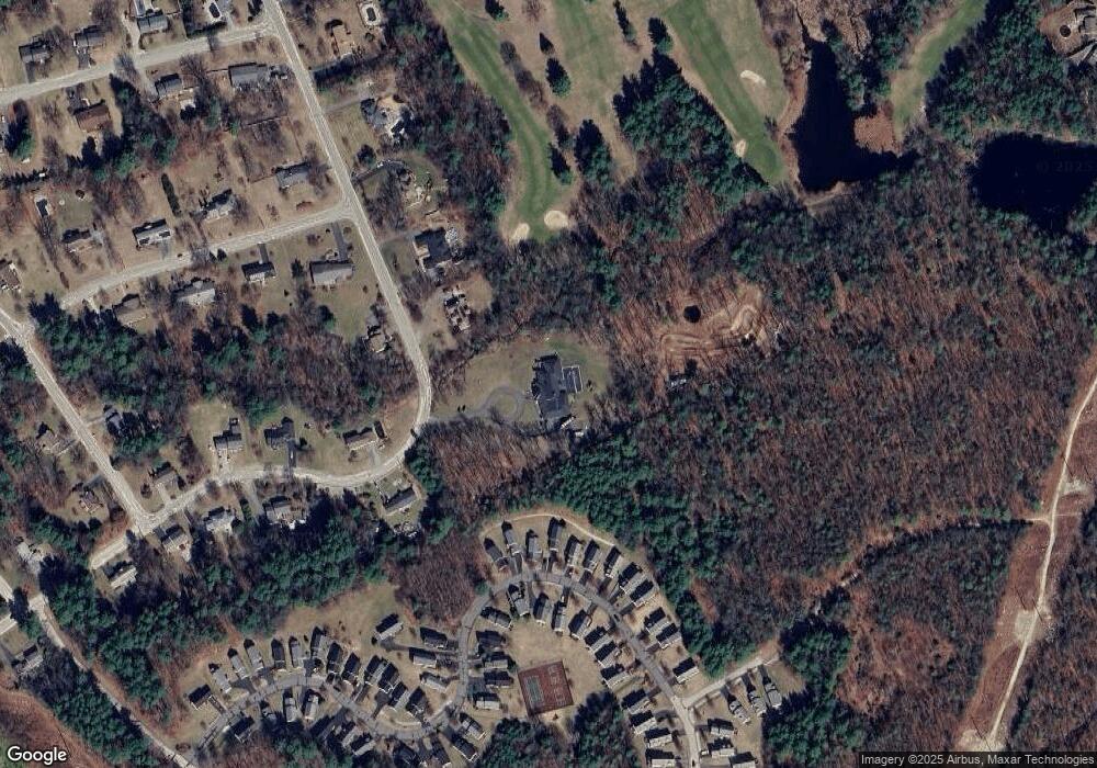
Map
Nearby Homes
- 3 Robin Dr
- 11 Cardinal Dr
- 36 Sutherland Dr
- 11 Scottsdale Dr
- 16 Evergreen Dr
- 40B Brackett Ln
- 9 Sunshine Dr Unit A
- 73 Ferry St
- 434 Abbott Farm Ln
- 312 Abbott Farm Ln
- 27 Alvirne Dr
- 29 Derry St
- 152 Ferry St
- 5 Shoreline Dr Unit 14
- 7 Shoreline Dr Unit 13
- 12 Leclair Dr
- 9 Doveton Ln Unit B
- 1 Shoreline Dr Unit 16
- 319 Fox Run Rd
- 21 Library St