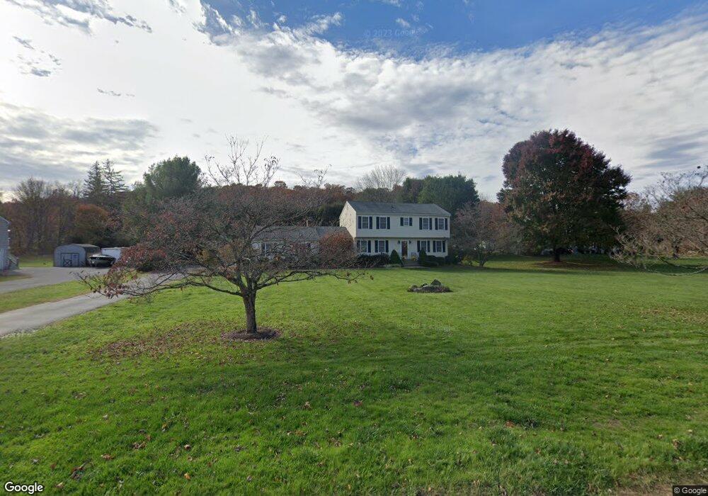
9 Bridge End Farm Ln Sandy Hook, CT 06482
Estimated Value: $671,349 - $869,000
4
Beds
3
Baths
2,160
Sq Ft
$337/Sq Ft
Est. Value
About This Home
This home is located at 9 Bridge End Farm Ln, Sandy Hook, CT 06482 and is currently estimated at $728,337, approximately $337 per square foot. 9 Bridge End Farm Ln is a home located in Fairfield County with nearby schools including Hawley Elementary School, Reed Intermediate School, and Newtown Middle School.
Ownership History
Date
Name
Owned For
Owner Type
Purchase Details
Closed on
Apr 1, 1992
Sold by
Petchor Chuchay and Petchor Thilda
Bought by
Williamson Roger and Williamson Renate
Current Estimated Value
Home Financials for this Owner
Home Financials are based on the most recent Mortgage that was taken out on this home.
Original Mortgage
$180,000
Interest Rate
8.73%
Mortgage Type
Purchase Money Mortgage
Create a Home Valuation Report for This Property
The Home Valuation Report is an in-depth analysis detailing your home's value as well as a comparison with similar homes in the area
Home Values in the Area
Average Home Value in this Area
Purchase History
| Date | Buyer | Sale Price | Title Company |
|---|---|---|---|
| Williamson Roger | $225,000 | -- |
Source: Public Records
Mortgage History
| Date | Status | Borrower | Loan Amount |
|---|---|---|---|
| Closed | Williamson Roger | $174,317 | |
| Closed | Williamson Roger | $181,500 | |
| Closed | Williamson Roger | $180,000 |
Source: Public Records
Tax History
| Year | Tax Paid | Tax Assessment Tax Assessment Total Assessment is a certain percentage of the fair market value that is determined by local assessors to be the total taxable value of land and additions on the property. | Land | Improvement |
|---|---|---|---|---|
| 2025 | $9,562 | $332,720 | $52,820 | $279,900 |
| 2024 | $8,973 | $332,720 | $52,820 | $279,900 |
| 2023 | $8,731 | $332,720 | $52,820 | $279,900 |
| 2022 | $8,603 | $248,130 | $59,080 | $189,050 |
| 2021 | $8,598 | $248,130 | $59,080 | $189,050 |
| 2020 | $8,625 | $248,130 | $59,080 | $189,050 |
| 2019 | $8,627 | $248,130 | $59,080 | $189,050 |
| 2018 | $8,496 | $248,130 | $59,080 | $189,050 |
| 2017 | $8,522 | $251,610 | $81,590 | $170,020 |
| 2016 | $8,454 | $251,610 | $81,590 | $170,020 |
| 2015 | $8,321 | $251,610 | $81,590 | $170,020 |
| 2014 | $8,381 | $251,610 | $81,590 | $170,020 |
Source: Public Records
Map
Nearby Homes
- 7 Ford Rd
- 4 Shady Rest Blvd
- 5 Shepaug Rd
- 17 Buttonball Dr
- 600 Berkshire Rd
- 41 Chipmunk Trail
- 22 Hemlock Trail
- 108 Riverside Rd
- 56 Walnut Tree Hill Rd
- 4 Sunnyview Terrace
- 89 Alpine Dr
- 30 Capitol Dr
- 12 Valley Field Rd S
- 105 Lower Fish Rock Rd
- 123 Louis Hill Rd
- 25 Saint George Place
- 7 Dayton St
- 32 Old Green Rd
- 6 Crestwood Dr
- 140 Lake Ridge Rd
- 7 Bridge End Farm Ln
- 11 Bridge End Farm Ln
- 13 Bridge End Farm Ln
- 201 Walnut Tree Hill Rd
- 5 Bridge End Farm Ln
- 199 Walnut Tree Hill Rd
- 203 Walnut Tree Hill Rd
- 8 Bridge End Farm Ln
- 6 Bridge End Farm Ln
- 197 Walnut Tree Hill Rd
- 10 Bridge End Farm Ln
- 4 Bridge End Farm Ln
- 205 Walnut Tree Hill Rd
- 15 Bridge End Farm Ln
- 12 Bridge End Farm Ln
- 2 Bridge End Farm Ln
- 195 Walnut Tree Hill Rd
- 17 Bridge End Farm Ln
- 14 Bridge End Farm Ln
- 170 Walnut Tree Hill Rd
Your Personal Tour Guide
Ask me questions while you tour the home.