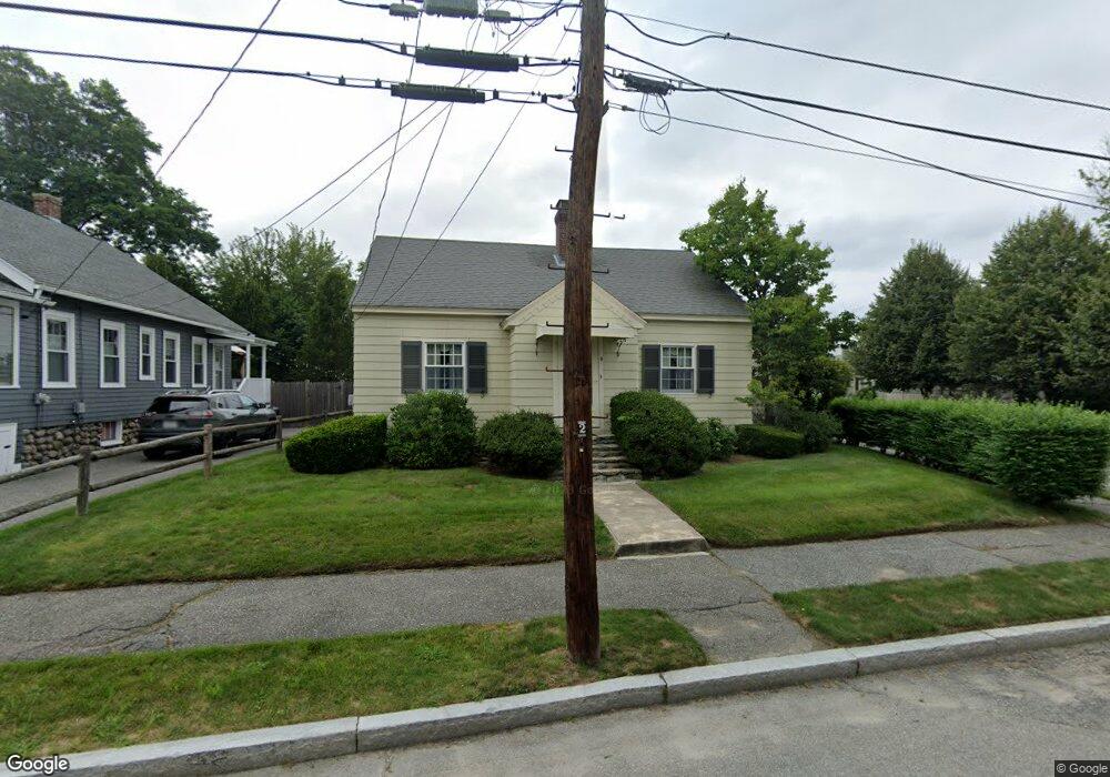
9 Bristol St Worcester, MA 01606
Burncoat NeighborhoodEstimated Value: $359,600 - $402,000
2
Beds
1
Bath
1,122
Sq Ft
$337/Sq Ft
Est. Value
About This Home
This home is located at 9 Bristol St, Worcester, MA 01606 and is currently estimated at $377,650, approximately $336 per square foot. 9 Bristol St is a home located in Worcester County with nearby schools including Belmont Street Community School, Jacob Hiatt Magnet School, and Chandler Magnet.
Ownership History
Date
Name
Owned For
Owner Type
Purchase Details
Closed on
May 17, 2018
Sold by
Helberg Bengt E and Helberg Jeanne R
Bought by
Hellberg Rt
Current Estimated Value
Purchase Details
Closed on
Jan 1, 1977
Bought by
Hellberg Bengt E and Hellberg Jeanne R
Create a Home Valuation Report for This Property
The Home Valuation Report is an in-depth analysis detailing your home's value as well as a comparison with similar homes in the area
Home Values in the Area
Average Home Value in this Area
Purchase History
| Date | Buyer | Sale Price | Title Company |
|---|---|---|---|
| Hellberg Rt | -- | -- | |
| Hellberg Bengt E | -- | -- |
Source: Public Records
Mortgage History
| Date | Status | Borrower | Loan Amount |
|---|---|---|---|
| Previous Owner | Hellberg Bengt E | $25,000 |
Source: Public Records
Tax History
| Year | Tax Paid | Tax Assessment Tax Assessment Total Assessment is a certain percentage of the fair market value that is determined by local assessors to be the total taxable value of land and additions on the property. | Land | Improvement |
|---|---|---|---|---|
| 2025 | $3,999 | $303,200 | $105,300 | $197,900 |
| 2024 | $3,942 | $286,700 | $105,300 | $181,400 |
| 2023 | $3,774 | $263,200 | $91,500 | $171,700 |
| 2022 | $3,459 | $227,400 | $73,200 | $154,200 |
| 2021 | $3,251 | $199,700 | $58,600 | $141,100 |
| 2020 | $3,189 | $187,600 | $58,600 | $129,000 |
| 2019 | $3,047 | $169,300 | $52,700 | $116,600 |
| 2018 | $3,071 | $162,400 | $52,700 | $109,700 |
| 2017 | $2,941 | $153,000 | $52,700 | $100,300 |
| 2016 | $2,887 | $140,100 | $39,700 | $100,400 |
| 2015 | $2,812 | $140,100 | $39,700 | $100,400 |
| 2014 | $2,738 | $140,100 | $39,700 | $100,400 |
Source: Public Records
Map
Nearby Homes
- 93 Blue Bell Rd
- 4 Winston Rd
- 30 Danielles Way
- 18 Danielles Way
- 10 Beale St
- 12 Beale St
- 39 Mountainshire Dr
- 66 Eunice Ave
- 69 Santoro Rd
- 31 Danielles Way
- 55 Apthorp St
- 331 Burncoat St
- 63 Cobblestone Ln Unit 63
- 31 Enaya Cir Unit 31
- 22 Danielles Way
- 26 Danielles Way
- 323 Burncoat St
- 1110 W Boylston St Unit A
- 36 Sunrise Ave
- 33 Santoro Rd
Your Personal Tour Guide
Ask me questions while you tour the home.