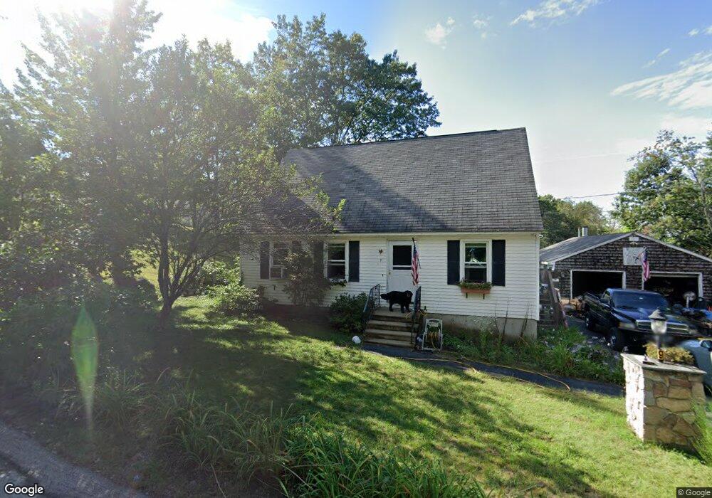
9 Campbell St Allenstown, NH 03275
Suncook NeighborhoodEstimated Value: $387,000 - $433,266
3
Beds
3
Baths
1,487
Sq Ft
$280/Sq Ft
Est. Value
About This Home
This home is located at 9 Campbell St, Allenstown, NH 03275 and is currently estimated at $416,067, approximately $279 per square foot. 9 Campbell St is a home located in Merrimack County with nearby schools including Allenstown Elementary School, Armand R. Dupont School, and Tender Years Child Care & Learning Center.
Ownership History
Date
Name
Owned For
Owner Type
Purchase Details
Closed on
Feb 8, 2024
Sold by
Chabot Bruce R and Chabot Gail A
Bought by
Bruce R Chabot Ret and Chabot
Current Estimated Value
Purchase Details
Closed on
Nov 13, 1993
Bought by
Chabot Bruce R and Chabot Gail A
Create a Home Valuation Report for This Property
The Home Valuation Report is an in-depth analysis detailing your home's value as well as a comparison with similar homes in the area
Home Values in the Area
Average Home Value in this Area
Purchase History
| Date | Buyer | Sale Price | Title Company |
|---|---|---|---|
| Bruce R Chabot Ret | -- | None Available | |
| Chabot Bruce R | -- | -- |
Source: Public Records
Mortgage History
| Date | Status | Borrower | Loan Amount |
|---|---|---|---|
| Previous Owner | Chabot Bruce R | $25,000 |
Source: Public Records
Tax History Compared to Growth
Tax History
| Year | Tax Paid | Tax Assessment Tax Assessment Total Assessment is a certain percentage of the fair market value that is determined by local assessors to be the total taxable value of land and additions on the property. | Land | Improvement |
|---|---|---|---|---|
| 2024 | $8,493 | $334,100 | $145,200 | $188,900 |
| 2023 | $7,083 | $334,100 | $145,200 | $188,900 |
| 2022 | $6,515 | $334,100 | $145,200 | $188,900 |
| 2021 | $6,102 | $193,700 | $82,500 | $111,200 |
| 2020 | $5,675 | $193,700 | $82,500 | $111,200 |
| 2019 | $6,214 | $199,800 | $82,500 | $117,300 |
| 2018 | $6,024 | $199,800 | $82,500 | $117,300 |
| 2017 | $6,416 | $199,800 | $82,500 | $117,300 |
| 2016 | $5,648 | $166,800 | $60,000 | $106,800 |
| 2015 | $5,476 | $166,800 | $60,000 | $106,800 |
| 2014 | $5,719 | $169,300 | $60,000 | $109,300 |
| 2013 | $5,338 | $169,300 | $60,000 | $109,300 |
Source: Public Records
Map
Nearby Homes
- 422 Dawn Dr Unit 23
- 427 Dawn Dr Unit 15
- 15 Main St
- 19 Sullivan Dr
- 1 1/2 Bartlett St
- 111 Glass St
- 4 Rodger Rd
- 7 Ferry St
- 10 Lane Dr
- 2 Cheryl Dr
- 100 Main St Unit M10
- 100 Main St Unit 204
- 12-14 Church St Unit 12,14
- 15 Sullivan Dr
- 1821 Hooksett Rd
- 307 Dearborn Rd
- 233 Pembroke St
- 259 Pembroke St
- 14 Manor Dr Unit D
- 12 Manor Dr Unit B