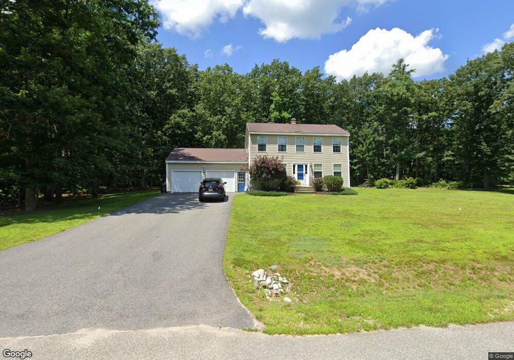
9 Captains Way Buxton, ME 04093
Estimated Value: $479,779 - $576,000
3
Beds
2
Baths
1,536
Sq Ft
$339/Sq Ft
Est. Value
About This Home
This home is located at 9 Captains Way, Buxton, ME 04093 and is currently estimated at $521,445, approximately $339 per square foot. 9 Captains Way is a home with nearby schools including Bonny Eagle High School.
Ownership History
Date
Name
Owned For
Owner Type
Purchase Details
Closed on
Jun 15, 2007
Sold by
Custom Built Homes Maine
Bought by
Rice Alexina and Rice Jerry
Current Estimated Value
Home Financials for this Owner
Home Financials are based on the most recent Mortgage that was taken out on this home.
Original Mortgage
$34,800
Interest Rate
6.19%
Mortgage Type
Unknown
Create a Home Valuation Report for This Property
The Home Valuation Report is an in-depth analysis detailing your home's value as well as a comparison with similar homes in the area
Home Values in the Area
Average Home Value in this Area
Purchase History
| Date | Buyer | Sale Price | Title Company |
|---|---|---|---|
| Rice Alexina | -- | -- | |
| Custom Built Homes Maine | -- | -- |
Source: Public Records
Mortgage History
| Date | Status | Borrower | Loan Amount |
|---|---|---|---|
| Open | Custom Built Homes Maine | $190,454 | |
| Closed | Custom Built Homes Maine | $34,800 |
Source: Public Records
Tax History
| Year | Tax Paid | Tax Assessment Tax Assessment Total Assessment is a certain percentage of the fair market value that is determined by local assessors to be the total taxable value of land and additions on the property. | Land | Improvement |
|---|---|---|---|---|
| 2024 | $4,421 | $402,300 | $105,600 | $296,700 |
| 2023 | $4,196 | $402,300 | $105,600 | $296,700 |
| 2022 | $4,150 | $405,300 | $105,600 | $299,700 |
| 2021 | $4,066 | $281,157 | $68,300 | $212,857 |
| 2020 | $4,099 | $281,157 | $68,300 | $212,857 |
| 2019 | $597 | $248,600 | $68,300 | $180,300 |
| 2018 | $569 | $248,600 | $68,300 | $180,300 |
| 2017 | $532 | $248,600 | $68,300 | $180,300 |
| 2016 | $3,244 | $248,600 | $68,300 | $180,300 |
| 2015 | $3,197 | $246,900 | $68,300 | $178,600 |
| 2014 | $3,195 | $251,600 | $73,000 | $178,600 |
| 2013 | -- | $239,100 | $61,500 | $177,600 |
Source: Public Records
Map
Nearby Homes
- 207 Dunnell Rd
- 866 Parker Farm Rd Unit B
- 35 Rust Rd
- 82 Carll Rd
- 4 Musket Dr
- 30 Joan Dixon Way
- 90 Green Acres Dr
- 0 Waterman
- 17 Boreal Dr
- 30 Boreal Dr
- 1306 Long Plains Rd
- 52 Morrill Ave
- 42 Brandons Way
- 127 Falcon Crest Dr Unit 4
- 91 South St
- 185 Falcon Crest Dr Unit 29
- 182 Falcon Crest Dr Unit 56
- 187 Falcon Crest Dr Unit 30
- 186 Falcon Crest Dr Unit 57
- 189 Falcon Crest Dr Unit 31
- 7 Captain's Way
- 17 Captains Way
- 6 Captains Way
- 16 Captains Way
- 21 Captains Way
- 26 Captains Way
- 177 Webster Rd
- 25 Webster Rd
- 31 Captains Way
- 266 Church Hill Rd
- 63 Webster Rd
- 309 Church Hill Rd
- 250 Church Hill Rd
- 210 Webster Rd
- 34 Captains Way
- 35 Captains Way
- 211 Webster Rd
- 137 Church Hill Rd
- 0 Blueberry Ridge Subdivison Unit 1251648
- 0 Blueberry Ridge Subdivison Unit 1282178