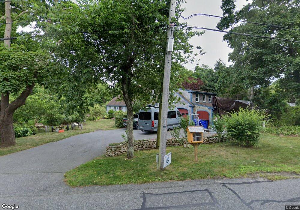
9 Depot Rd Bourne, MA 2532
Cataumet NeighborhoodEstimated Value: $994,000 - $1,065,000
3
Beds
3
Baths
2,812
Sq Ft
$363/Sq Ft
Est. Value
About This Home
This home is located at 9 Depot Rd, Bourne, MA 2532 and is currently estimated at $1,022,000, approximately $363 per square foot. 9 Depot Rd is a home located in Barnstable County with nearby schools including Bourne High School, Cadence Academy Preschool - Bourne, and Heritage Christian Academy.
Create a Home Valuation Report for This Property
The Home Valuation Report is an in-depth analysis detailing your home's value as well as a comparison with similar homes in the area
Home Values in the Area
Average Home Value in this Area
Tax History
| Year | Tax Paid | Tax Assessment Tax Assessment Total Assessment is a certain percentage of the fair market value that is determined by local assessors to be the total taxable value of land and additions on the property. | Land | Improvement |
|---|---|---|---|---|
| 2025 | $7,366 | $943,200 | $242,000 | $701,200 |
| 2024 | $6,809 | $849,000 | $230,500 | $618,500 |
| 2023 | $6,619 | $751,300 | $204,000 | $547,300 |
| 2022 | $6,569 | $651,000 | $216,600 | $434,400 |
| 2021 | $6,382 | $592,600 | $197,200 | $395,400 |
| 2020 | $6,017 | $560,200 | $195,300 | $364,900 |
| 2019 | $5,034 | $479,000 | $195,300 | $283,700 |
| 2018 | $4,808 | $456,200 | $186,000 | $270,200 |
| 2017 | $4,716 | $457,900 | $190,400 | $267,500 |
| 2016 | $4,587 | $451,500 | $190,400 | $261,100 |
Source: Public Records
Map
Nearby Homes
- 1234 Route 28a
- 48 Red Brook Harbor Rd
- 1234 Route 28a
- 15 Oak Ave
- 31 Baxendale Rd
- 75 Winsor Rd
- 289 Old Main Rd
- 16 Michael Rd
- 28 Nathan Ellis Hwy
- 254 Barlows Landing Rd
- 3 4th Ave
- 7 4th Ave
- 709 County Rd
- 3 1st St
- 14 Navajo Rd
- 14 Ryder Rd
- 393 N Falmouth Hwy Unit 8
- 209 Waterside Dr
- 91 Wickertree Rd
- 10 Rockledge Dr
Your Personal Tour Guide
Ask me questions while you tour the home.