Estimated Value: $490,000 - $545,000
3
Beds
3
Baths
2,477
Sq Ft
$207/Sq Ft
Est. Value
About This Home
This home is located at 9 Desantis Dr, Ware, MA 01082 and is currently estimated at $512,811, approximately $207 per square foot. 9 Desantis Dr is a home located in Hampshire County with nearby schools including Stanley M. Koziol Elementary School, Ware Middle School, and Ware Junior/Senior High School.
Ownership History
Date
Name
Owned For
Owner Type
Purchase Details
Closed on
May 15, 1998
Sold by
Desantis Domenica M and Desantis Frank P
Bought by
Saletnik Joanne M and Saletnik Joseph P
Current Estimated Value
Create a Home Valuation Report for This Property
The Home Valuation Report is an in-depth analysis detailing your home's value as well as a comparison with similar homes in the area
Home Values in the Area
Average Home Value in this Area
Purchase History
| Date | Buyer | Sale Price | Title Company |
|---|---|---|---|
| Saletnik Joanne M | $25,000 | -- | |
| Saletnik Joanne M | $25,000 | -- |
Source: Public Records
Mortgage History
| Date | Status | Borrower | Loan Amount |
|---|---|---|---|
| Open | Saletnik Joanne M | $165,000 |
Source: Public Records
Tax History
| Year | Tax Paid | Tax Assessment Tax Assessment Total Assessment is a certain percentage of the fair market value that is determined by local assessors to be the total taxable value of land and additions on the property. | Land | Improvement |
|---|---|---|---|---|
| 2025 | $7,682 | $510,100 | $58,500 | $451,600 |
| 2024 | $7,350 | $450,100 | $55,200 | $394,900 |
| 2023 | $6,995 | $405,300 | $53,100 | $352,200 |
| 2022 | $6,808 | $352,000 | $49,200 | $302,800 |
| 2021 | $6,625 | $328,300 | $49,200 | $279,100 |
| 2020 | $6,290 | $304,900 | $49,200 | $255,700 |
| 2019 | $6,162 | $304,900 | $49,200 | $255,700 |
| 2018 | $5,964 | $288,000 | $48,000 | $240,000 |
| 2017 | $5,826 | $280,500 | $51,000 | $229,500 |
| 2016 | $5,669 | $280,500 | $51,000 | $229,500 |
| 2015 | $5,441 | $276,900 | $51,000 | $225,900 |
| 2014 | $5,458 | $298,100 | $51,300 | $246,800 |
Source: Public Records
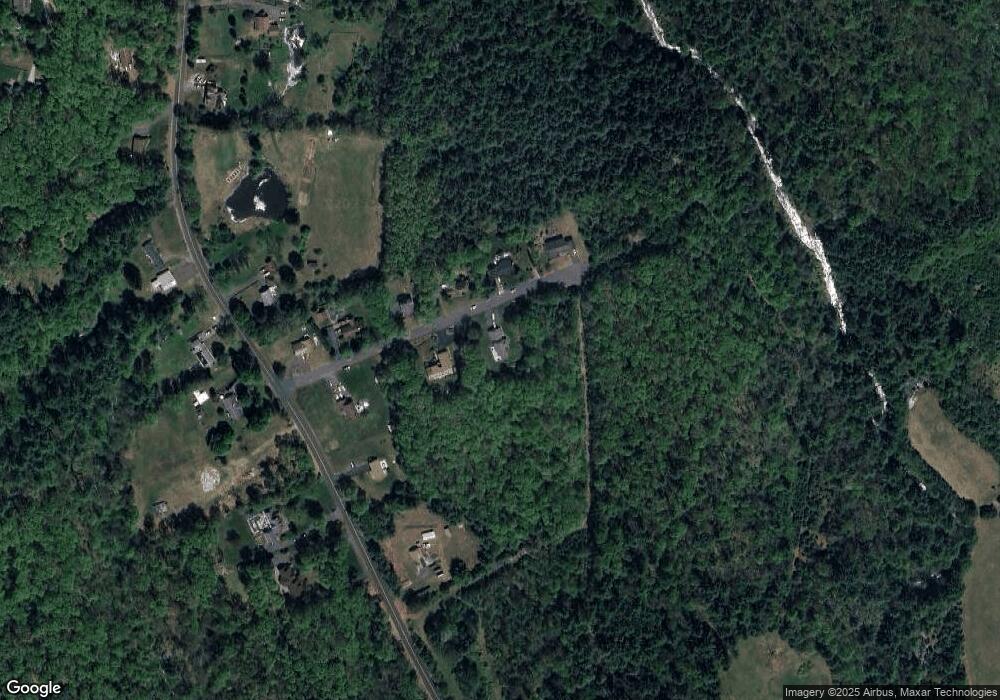
Map
Nearby Homes
- 201 West St
- 201 Belchertown Rd
- 310 Palmer Rd
- LOT 3 Monson Turnpike Rd
- 375 Belchertown Rd
- 30 Warebrook Village
- 24 Clinton St
- 87 W Main St
- 67 Babcock Tavern Rd
- Lot 16 Coldbrook Dr
- Lot 20 Coldbrook Dr
- Lot 22 Coldbrook Dr
- Lot 13 Coldbrook Dr
- Lot 25 Coldbrook Dr
- 6 Winslow Rd
- 23 West St Unit 25
- 7 Webb Ct
- 60 Quaboag Valley Co Op St
- 79 Pleasant St
- 44 South St
Your Personal Tour Guide
Ask me questions while you tour the home.