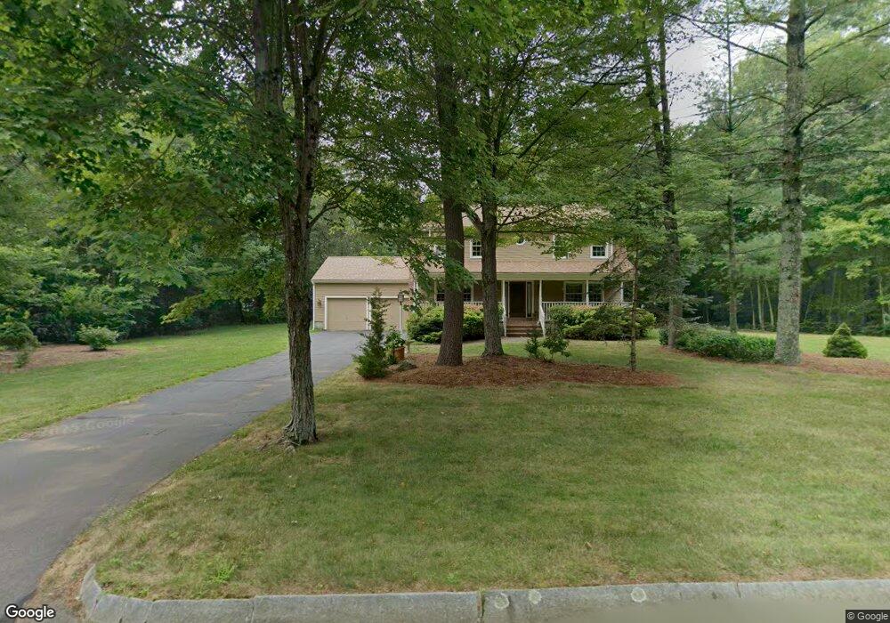
9 Emerson Cir Mansfield, MA 02048
Estimated Value: $827,890 - $1,008,000
4
Beds
3
Baths
2,118
Sq Ft
$429/Sq Ft
Est. Value
About This Home
This home is located at 9 Emerson Cir, Mansfield, MA 02048 and is currently estimated at $909,223, approximately $429 per square foot. 9 Emerson Cir is a home located in Bristol County with nearby schools including Everett W. Robinson Elementary School, Jordan/Jackson Elementary School, and Harold L. Qualters Middle School.
Ownership History
Date
Name
Owned For
Owner Type
Purchase Details
Closed on
Oct 1, 2025
Sold by
Brady Thomas F and Brady Jean M
Bought by
Brady Ft and Brady
Current Estimated Value
Purchase Details
Closed on
Jan 25, 1991
Sold by
East Coast Dev Ltd
Bought by
Brady Thomas F and Brady Jean M
Home Financials for this Owner
Home Financials are based on the most recent Mortgage that was taken out on this home.
Original Mortgage
$150,000
Interest Rate
9.46%
Mortgage Type
Purchase Money Mortgage
Create a Home Valuation Report for This Property
The Home Valuation Report is an in-depth analysis detailing your home's value as well as a comparison with similar homes in the area
Home Values in the Area
Average Home Value in this Area
Purchase History
| Date | Buyer | Sale Price | Title Company |
|---|---|---|---|
| Brady Ft | -- | -- | |
| Brady Thomas F | $197,000 | -- | |
| Brady Thomas F | $197,000 | -- |
Source: Public Records
Mortgage History
| Date | Status | Borrower | Loan Amount |
|---|---|---|---|
| Previous Owner | Brady Thomas F | $136,000 | |
| Previous Owner | Brady Thomas F | $143,000 | |
| Previous Owner | Brady Thomas F | $150,000 |
Source: Public Records
Tax History
| Year | Tax Paid | Tax Assessment Tax Assessment Total Assessment is a certain percentage of the fair market value that is determined by local assessors to be the total taxable value of land and additions on the property. | Land | Improvement |
|---|---|---|---|---|
| 2025 | $9,812 | $745,000 | $284,300 | $460,700 |
| 2024 | $9,693 | $718,000 | $296,600 | $421,400 |
| 2023 | $9,366 | $664,700 | $296,600 | $368,100 |
| 2022 | $8,997 | $593,100 | $274,600 | $318,500 |
| 2021 | $8,749 | $569,600 | $228,900 | $340,700 |
| 2020 | $8,609 | $560,500 | $228,900 | $331,600 |
| 2019 | $8,050 | $528,900 | $190,600 | $338,300 |
| 2018 | $8,005 | $514,100 | $181,900 | $332,200 |
| 2017 | $7,507 | $499,800 | $176,700 | $323,100 |
| 2016 | $7,196 | $467,000 | $168,200 | $298,800 |
| 2015 | $7,003 | $451,800 | $168,200 | $283,600 |
Source: Public Records
Map
Nearby Homes
- 14 Windchime Dr
- 19 Barberry Rd
- 21 Juniper Rd
- 0 Cobb St
- 1 Deer Path Ln
- 0 Brook Pkwy
- 268 Reservoir St
- 0 Kensington Rd
- 7 Fieldstone Dr
- 212 Mill St
- 104 Newcomb St Unit E
- 1 Wilbur Terrace Unit 6
- 250 Mansfield Ave Unit 11
- 157 Mansfield Ave Unit 14
- 35 Owen Rd
- 97 East St
- 95 Godfrey Dr
- 93 Mansfield Ave
- 343 Godfrey Dr
- 157 Highland St
Your Personal Tour Guide
Ask me questions while you tour the home.