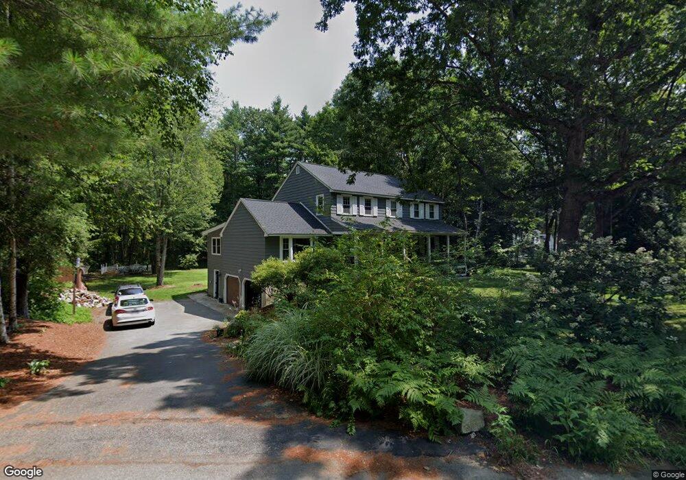
9 Fernwood Ln Amherst, NH 03031
Estimated Value: $663,000 - $692,000
4
Beds
3
Baths
2,276
Sq Ft
$297/Sq Ft
Est. Value
About This Home
This home is located at 9 Fernwood Ln, Amherst, NH 03031 and is currently estimated at $676,245, approximately $297 per square foot. 9 Fernwood Ln is a home with nearby schools including Wilkins Elementary School, Amherst Middle School, and Souhegan Cooperative High School.
Ownership History
Date
Name
Owned For
Owner Type
Purchase Details
Closed on
Mar 11, 2019
Sold by
Dodge Michael L and Dean-Dodge Catherine G
Bought by
Michael L & C Dodge Ft
Current Estimated Value
Purchase Details
Closed on
Jun 13, 2005
Sold by
Gendron Gregory P and Gendron Susan M
Bought by
Dodge Michael L
Home Financials for this Owner
Home Financials are based on the most recent Mortgage that was taken out on this home.
Original Mortgage
$150,000
Interest Rate
5.79%
Mortgage Type
Purchase Money Mortgage
Create a Home Valuation Report for This Property
The Home Valuation Report is an in-depth analysis detailing your home's value as well as a comparison with similar homes in the area
Home Values in the Area
Average Home Value in this Area
Purchase History
| Date | Buyer | Sale Price | Title Company |
|---|---|---|---|
| Michael L & C Dodge Ft | -- | -- | |
| Dodge Michael L | $369,000 | -- |
Source: Public Records
Mortgage History
| Date | Status | Borrower | Loan Amount |
|---|---|---|---|
| Previous Owner | Dodge Michael L | $167,950 | |
| Previous Owner | Dodge Michael L | $180,000 | |
| Previous Owner | Dodge Michael L | $150,000 |
Source: Public Records
Tax History Compared to Growth
Tax History
| Year | Tax Paid | Tax Assessment Tax Assessment Total Assessment is a certain percentage of the fair market value that is determined by local assessors to be the total taxable value of land and additions on the property. | Land | Improvement |
|---|---|---|---|---|
| 2024 | $9,415 | $410,600 | $134,200 | $276,400 |
| 2023 | $8,986 | $410,700 | $134,200 | $276,500 |
| 2022 | $8,585 | $406,300 | $134,200 | $272,100 |
| 2021 | $8,658 | $406,300 | $134,200 | $272,100 |
| 2020 | $8,570 | $300,900 | $107,400 | $193,500 |
| 2019 | $8,026 | $297,700 | $107,400 | $190,300 |
| 2018 | $7,916 | $290,700 | $107,400 | $183,300 |
| 2017 | $7,561 | $290,700 | $107,400 | $183,300 |
| 2016 | $7,297 | $290,700 | $107,400 | $183,300 |
| 2015 | $7,224 | $272,800 | $123,700 | $149,100 |
| 2014 | $7,273 | $272,800 | $123,700 | $149,100 |
| 2013 | $7,216 | $272,800 | $123,700 | $149,100 |
Source: Public Records
Map
Nearby Homes
- 148 County Rd
- 150 County Rd Unit 4-142-8
- 150 County Rd
- 2 County Rd
- 24 Deerwood Dr
- 12 Fairway Dr
- 1 County Rd
- 1A Debbie Ln
- 101-2 Seaverns Bridge Rd
- 105 Seaverns Bridge Rd
- 103 Seaverns Bridge Rd
- 9 Northfield Rd
- 6 Mason Rd
- 37 Baboosic Lake Rd
- 2 Benning St
- 6 Veterans Rd Unit 15
- 15 Four Winds Rd
- 6 Whittemore Ln
- 16 Captain Danforth Ln
- 40 Captain Bannon Cir
- 7 Fernwood Ln
- 8 Fernwood Ln
- 13 Fernwood Ln
- 5 Fernwood Ln
- 5 Ferwood Ln
- 3 Fernwood Ln
- 6 Fernwood Ln
- 4 Fernwood Ln
- 1 Fernwood Ln
- 2 Beech Tree Way
- tbd County Rd
- 11 Crestwood Ct
- 9 Crestwood Ct
- 12 Briarwood Ln
- 10 Briarwood Ln
- 29 Cricket Corner Rd
- 8 Briarwood Ln
- 7 Crestwood Ct
- 6 Briarwood Ln
- 10 Crestwood Ct