9 Founders Rd Meredith, NH 03253
Estimated Value: $532,000 - $790,671
4
Beds
2
Baths
898
Sq Ft
$738/Sq Ft
Est. Value
About This Home
This home is located at 9 Founders Rd, Meredith, NH 03253 and is currently estimated at $662,668, approximately $737 per square foot. 9 Founders Rd is a home with nearby schools including Inter-Lakes Elementary School, Sandwich Central School, and Inter-Lakes Middle High School.
Ownership History
Date
Name
Owned For
Owner Type
Purchase Details
Closed on
Feb 17, 2021
Sold by
Bransfield Joan C
Bought by
Bransfield Rt
Current Estimated Value
Purchase Details
Closed on
Oct 1, 1996
Sold by
Logue William J and Logue Debra A
Bought by
Bransfield John R and Bransfield Joan C
Home Financials for this Owner
Home Financials are based on the most recent Mortgage that was taken out on this home.
Original Mortgage
$116,000
Interest Rate
7.83%
Mortgage Type
Purchase Money Mortgage
Create a Home Valuation Report for This Property
The Home Valuation Report is an in-depth analysis detailing your home's value as well as a comparison with similar homes in the area
Home Values in the Area
Average Home Value in this Area
Purchase History
| Date | Buyer | Sale Price | Title Company |
|---|---|---|---|
| Bransfield Rt | -- | None Available | |
| Bransfield John R | $145,000 | -- |
Source: Public Records
Mortgage History
| Date | Status | Borrower | Loan Amount |
|---|---|---|---|
| Previous Owner | Bransfield John R | $116,000 |
Source: Public Records
Tax History Compared to Growth
Tax History
| Year | Tax Paid | Tax Assessment Tax Assessment Total Assessment is a certain percentage of the fair market value that is determined by local assessors to be the total taxable value of land and additions on the property. | Land | Improvement |
|---|---|---|---|---|
| 2024 | $7,231 | $704,800 | $515,100 | $189,700 |
| 2023 | $6,970 | $704,800 | $515,100 | $189,700 |
| 2022 | $5,362 | $383,800 | $240,400 | $143,400 |
| 2021 | $5,050 | $376,000 | $240,400 | $135,600 |
| 2020 | $5,272 | $376,000 | $240,400 | $135,600 |
| 2019 | $5,001 | $314,700 | $194,400 | $120,300 |
| 2018 | $4,916 | $314,700 | $194,400 | $120,300 |
| 2016 | $4,597 | $294,900 | $188,800 | $106,100 |
| 2015 | $4,482 | $294,900 | $188,800 | $106,100 |
| 2014 | $4,373 | $294,900 | $188,800 | $106,100 |
| 2013 | $4,250 | $294,900 | $188,800 | $106,100 |
Source: Public Records
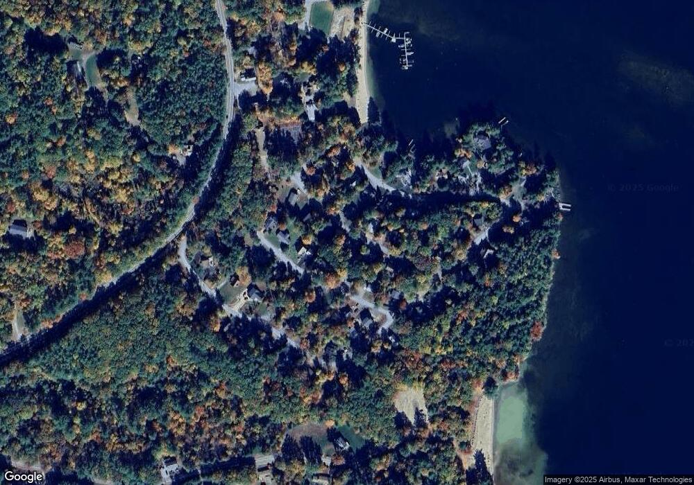
Map
Nearby Homes
- 71 Butterfield Rd
- 00 Gilman Hill Rd
- 1 Little Beaver Island
- 320 Redding Ln
- 24 Dew Point Ln
- 122 Coe Hill Rd
- 20 Coe Hill Rd
- 30 Leopards Leap
- 38 Lake Shore Dr Unit 10
- 38 Lake Shore Dr Unit 12
- 00 Whittier Hwy Unit 8
- 142 Nh Route 25
- 25 Whittier Hwy
- 18 Falcon Way
- 20 True Rd Unit 101
- 20 True Rd Unit 63
- 145 Hanson Dr
- 85 Blueberry Hill Rd
- 125 Pleasant St
- 203 Krainewood Dr
- 7 Founders Rd
- 11 Founders Rd
- 8 Marinello Rd
- 6 Founders Rd
- 10 Marinello Rd
- 8 Founders Rd
- 6 Marinello Rd
- 5 Founders Rd
- 4 Founders Rd
- 10 Founders Rd
- 12 Marinello Rd
- 13 Patrician Shores Cir
- 13 Founders Rd
- 4 Marinello Rd
- 9 Marinello Rd
- 11 Patrician Shores Cir
- 7 Marinello Rd
- 3 Founders Rd
- 7 Patrician Shores Cir
- 11 Marinello Rd