Estimated Value: $7,307,000 - $8,297,182
5
Beds
8
Baths
9,299
Sq Ft
$854/Sq Ft
Est. Value
About This Home
This home is located at 9 Heather Rd, Rye, NH 03870 and is currently estimated at $7,939,727, approximately $853 per square foot. 9 Heather Rd is a home located in Rockingham County with nearby schools including Rye Elementary School, Rye Junior High School, and St Patrick School.
Ownership History
Date
Name
Owned For
Owner Type
Purchase Details
Closed on
Oct 31, 2024
Sold by
Gilbert Jeffrey D and Gilbert Penelope W
Bought by
Mooney Lisa M
Current Estimated Value
Purchase Details
Closed on
Feb 17, 1999
Sold by
Mcduffee David H and Mcduffee Mary Ellen
Bought by
Gilbert Jeffrey D and Gilbert Penelope W
Home Financials for this Owner
Home Financials are based on the most recent Mortgage that was taken out on this home.
Original Mortgage
$610,000
Interest Rate
6.75%
Mortgage Type
Purchase Money Mortgage
Create a Home Valuation Report for This Property
The Home Valuation Report is an in-depth analysis detailing your home's value as well as a comparison with similar homes in the area
Home Values in the Area
Average Home Value in this Area
Purchase History
| Date | Buyer | Sale Price | Title Company |
|---|---|---|---|
| Mooney Lisa M | $8,350,000 | None Available | |
| Gilbert Jeffrey D | $640,000 | -- |
Source: Public Records
Mortgage History
| Date | Status | Borrower | Loan Amount |
|---|---|---|---|
| Previous Owner | Gilbert Jeffrey D | $2,200,000 | |
| Previous Owner | Gilbert Jeffrey D | $1,500,000 | |
| Previous Owner | Gilbert Jeffrey D | $610,000 |
Source: Public Records
Tax History
| Year | Tax Paid | Tax Assessment Tax Assessment Total Assessment is a certain percentage of the fair market value that is determined by local assessors to be the total taxable value of land and additions on the property. | Land | Improvement |
|---|---|---|---|---|
| 2024 | $43,485 | $5,021,400 | $2,275,900 | $2,745,500 |
| 2023 | $39,843 | $4,961,800 | $2,275,900 | $2,685,900 |
| 2022 | $34,633 | $4,961,800 | $2,275,900 | $2,685,900 |
| 2021 | $33,535 | $3,281,300 | $1,558,200 | $1,723,100 |
| 2020 | $33,535 | $3,281,300 | $1,558,200 | $1,723,100 |
| 2019 | $33,251 | $3,253,500 | $1,558,200 | $1,695,300 |
| 2018 | $32,937 | $3,257,900 | $1,558,200 | $1,699,700 |
| 2017 | $32,937 | $3,257,900 | $1,558,200 | $1,699,700 |
| 2016 | $37,735 | $3,533,200 | $1,214,400 | $2,318,800 |
| 2013 | $39,214 | $3,574,700 | $1,321,600 | $2,253,100 |
Source: Public Records
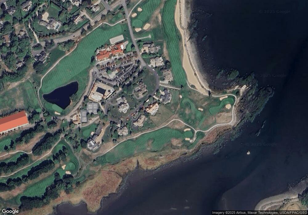
Map
Nearby Homes
- 267 Pioneer Rd
- 75 Marina Heights Rd
- 4 Sagamore Rd
- 1155 Sagamore Ave Unit 2
- 14 Sagamore Rd Unit 3
- 104 Odiorne Point Rd
- 239 Gosport Rd
- 18 Mainmast Cir
- 236 Sagamore Rd
- 763 Ocean Blvd
- 24 Seabreeze Ln
- 137 Clark Rd
- 352 Miller Ave Unit 2
- 25 S Mill St
- 889 South St Unit 4
- 389 Sagamore Rd
- 292 Wibird St
- 144 Washington St
- 417 Lafayette Rd
- 126 Wibird St Unit 1
- 11 Heather Dr
- 7 Heather Rd
- 50 Heather Rd
- 5 Heather Dr
- 5 Heather Rd
- 15 Heather Rd
- 3 Heather Dr
- 1 Heather Rd
- 17 Heather Dr
- 40 Heather Rd
- 9 Heather Dr
- 71 Wentworth Rd
- 2 Harborview Dr
- 1 Harborview Dr
- 90 & 80 Wentworth Rd
- 90 & 0 Wentworth Rd
- 90 Wentworth Rd
- 51 Wentworth Rd
- 6 Harborview Dr
- 6 Harborview Dr Unit 19
Your Personal Tour Guide
Ask me questions while you tour the home.