9 Heritage Rd Meredith, NH 03253
Estimated Value: $571,916 - $747,000
3
Beds
3
Baths
1,440
Sq Ft
$460/Sq Ft
Est. Value
About This Home
This home is located at 9 Heritage Rd, Meredith, NH 03253 and is currently estimated at $661,979, approximately $459 per square foot. 9 Heritage Rd is a home located in Belknap County with nearby schools including Inter-Lakes Elementary School, Sandwich Central School, and Inter-Lakes Middle High School.
Ownership History
Date
Name
Owned For
Owner Type
Purchase Details
Closed on
May 3, 2013
Sold by
Hammond Steven J and Hammond Carol A
Bought by
Hammond Rt
Current Estimated Value
Purchase Details
Closed on
Sep 17, 2003
Sold by
9 Heritage Rd Rt
Bought by
Hammond Rt
Purchase Details
Closed on
Aug 14, 2000
Sold by
Hubert Simone J
Bought by
9 Heritage Rd Meredith
Home Financials for this Owner
Home Financials are based on the most recent Mortgage that was taken out on this home.
Original Mortgage
$116,000
Interest Rate
8.21%
Create a Home Valuation Report for This Property
The Home Valuation Report is an in-depth analysis detailing your home's value as well as a comparison with similar homes in the area
Home Values in the Area
Average Home Value in this Area
Purchase History
| Date | Buyer | Sale Price | Title Company |
|---|---|---|---|
| Hammond Rt | -- | -- | |
| Hammond Rt | $215,300 | -- | |
| 9 Heritage Rd Meredith | $145,000 | -- |
Source: Public Records
Mortgage History
| Date | Status | Borrower | Loan Amount |
|---|---|---|---|
| Previous Owner | 9 Heritage Rd Meredith | $115,000 | |
| Previous Owner | 9 Heritage Rd Meredith | $116,000 |
Source: Public Records
Tax History
| Year | Tax Paid | Tax Assessment Tax Assessment Total Assessment is a certain percentage of the fair market value that is determined by local assessors to be the total taxable value of land and additions on the property. | Land | Improvement |
|---|---|---|---|---|
| 2024 | $4,899 | $477,500 | $242,200 | $235,300 |
| 2023 | $4,722 | $477,500 | $242,200 | $235,300 |
| 2022 | $3,981 | $285,000 | $108,200 | $176,800 |
| 2021 | $3,828 | $285,000 | $108,200 | $176,800 |
| 2020 | $3,996 | $285,000 | $108,200 | $176,800 |
| 2019 | $3,984 | $250,700 | $88,000 | $162,700 |
| 2018 | $3,916 | $250,700 | $88,000 | $162,700 |
| 2016 | $3,767 | $241,600 | $91,600 | $150,000 |
| 2015 | $3,672 | $241,600 | $91,600 | $150,000 |
| 2014 | $3,583 | $241,600 | $91,600 | $150,000 |
| 2013 | $3,481 | $241,600 | $91,600 | $150,000 |
Source: Public Records
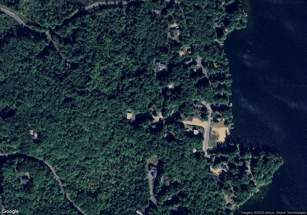
Map
Nearby Homes
- 00 Chemung Rd Unit 31
- 1 Sanctuary Ln
- 6 Loon Point Rd
- 65 Tucker Mountain Rd
- 129 Black Brook Rd
- 11 Chemung Rd
- 126 Meredith Center Rd
- 490 Meredith Center Rd
- 391 Turner Way
- 201 Parade Rd
- 302 Black Brook Rd
- 447 Nh Route 104
- 207 Pease Rd
- 00 Pease Rd Unit 3A
- 70 Hatch Corner Rd
- 358 Roller Coaster Rd
- 18 Hickorywood Cir
- 341 Hermit Woods Rd
- 516 Steele Hill Rd Unit Week 1-10 & 51 and
- 516 Steele Hill Rd Unit Float week 17-23; 37
- 10 Heritage Rd
- 14 Heritage Rd
- 5 Heritage Rd
- 3 Rustic Ln
- 6 Heritage Rd
- 1 Heritage Rd
- 7 Rustic Ln
- 69 Weed Rd
- 65 Weed Rd
- 63 Weed Rd
- 2 Heritage Rd
- 51 Lower Waldron Rd
- 61 Weed Rd
- 75 Weed Rd
- 59 Weed Rd
- 0 Swain Rd
- 0 Swain Rd Unit 4169251
- 0 Swain Rd Unit 4169253
- 0 Swain Rd Unit 54 4927781
- 0 Swain Rd Unit 72979106
Your Personal Tour Guide
Ask me questions while you tour the home.