9 Ironside Dr Hastings, MI 49058
Estimated Value: $337,000 - $570,000
4
Beds
3
Baths
1,836
Sq Ft
$264/Sq Ft
Est. Value
About This Home
This home is located at 9 Ironside Dr, Hastings, MI 49058 and is currently estimated at $484,497, approximately $263 per square foot. 9 Ironside Dr is a home located in Barry County with nearby schools including Hastings High School and St. Rose of Lima School.
Ownership History
Date
Name
Owned For
Owner Type
Purchase Details
Closed on
Apr 6, 2020
Sold by
Longstreet Robert J and Longstreet Catherine M
Bought by
Longstreet Robert J and Longstreet Catherine M
Current Estimated Value
Purchase Details
Closed on
Feb 27, 2006
Sold by
Guenther Jeffrey P and Guenther Julie A
Bought by
Longstreet Robert and Longstreet Catherine
Home Financials for this Owner
Home Financials are based on the most recent Mortgage that was taken out on this home.
Original Mortgage
$280,000
Interest Rate
6.2%
Mortgage Type
Fannie Mae Freddie Mac
Create a Home Valuation Report for This Property
The Home Valuation Report is an in-depth analysis detailing your home's value as well as a comparison with similar homes in the area
Home Values in the Area
Average Home Value in this Area
Purchase History
| Date | Buyer | Sale Price | Title Company |
|---|---|---|---|
| Longstreet Robert J | -- | None Available | |
| Longstreet Robert | $350,000 | Advantgage Title & Escrow Ag |
Source: Public Records
Mortgage History
| Date | Status | Borrower | Loan Amount |
|---|---|---|---|
| Closed | Longstreet Robert | $280,000 |
Source: Public Records
Tax History Compared to Growth
Tax History
| Year | Tax Paid | Tax Assessment Tax Assessment Total Assessment is a certain percentage of the fair market value that is determined by local assessors to be the total taxable value of land and additions on the property. | Land | Improvement |
|---|---|---|---|---|
| 2025 | $8,685 | $255,400 | $0 | $0 |
| 2024 | $8,685 | $237,600 | $0 | $0 |
| 2023 | $5,970 | $202,000 | $0 | $0 |
| 2022 | $5,970 | $202,000 | $0 | $0 |
| 2021 | $5,970 | $197,700 | $0 | $0 |
| 2020 | $5,970 | $180,100 | $0 | $0 |
| 2019 | $5,970 | $176,000 | $0 | $0 |
| 2018 | $0 | $146,200 | $0 | $0 |
| 2017 | $0 | $148,700 | $0 | $0 |
| 2016 | -- | $137,200 | $0 | $0 |
| 2015 | -- | $138,300 | $0 | $0 |
| 2014 | -- | $138,300 | $0 | $0 |
Source: Public Records
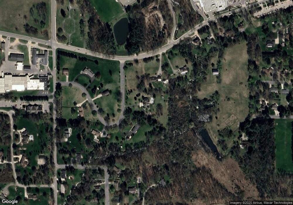
Map
Nearby Homes
- 736 W Grand St
- 720 W Bond St
- 504 S Washington St
- 610 S Park St
- 331 W South St
- 1002 S Broadway St
- 502 W State St
- 618 Riverwalk St
- 236 W Nelson St
- 720 S Jefferson St Unit 722
- 338 W Mill St
- 615 W High St
- 321 N Taffee Dr
- 112 E Green St
- 413 E Madison St
- 617 S East St
- 838 S Dibble St
- 536 E Bond St
- 510 E State St
- 520 E State St
- 11 Ironside Dr
- 20 Ironside Dr
- 1122 W Green St
- 19 Ironside Dr
- 36 Ironside Dr
- 25 Ironside Dr
- 1035 David Dr
- 1106 W Green St
- 1013 W Green St
- 1225 Ridgewood Dr
- 850 Cook Rd
- 1117 David Dr
- 40 Ironside Dr
- 1311 Ridgewood Dr
- 1040 W Green St
- 1421 Anne Dr
- 1000 David Dr
- 1014 David Dr
- 1325 Ridgewood Dr
- 1010 W Green St