9 Kimball Pond Rd Dunbarton, NH 03046
Estimated Value: $580,000 - $698,000
3
Beds
2
Baths
1,872
Sq Ft
$329/Sq Ft
Est. Value
About This Home
This home is located at 9 Kimball Pond Rd, Dunbarton, NH 03046 and is currently estimated at $615,223, approximately $328 per square foot. 9 Kimball Pond Rd is a home located in Merrimack County with nearby schools including Dunbarton Elementary School, Bow Memorial School, and Bow High School.
Ownership History
Date
Name
Owned For
Owner Type
Purchase Details
Closed on
Mar 31, 2022
Sold by
Sherman Nancy A Est and Sherman
Bought by
Sherman Gail A and Sherman Philip R
Current Estimated Value
Home Financials for this Owner
Home Financials are based on the most recent Mortgage that was taken out on this home.
Original Mortgage
$437,000
Outstanding Balance
$406,832
Interest Rate
3.92%
Mortgage Type
Purchase Money Mortgage
Estimated Equity
$208,391
Create a Home Valuation Report for This Property
The Home Valuation Report is an in-depth analysis detailing your home's value as well as a comparison with similar homes in the area
Home Values in the Area
Average Home Value in this Area
Purchase History
| Date | Buyer | Sale Price | Title Company |
|---|---|---|---|
| Sherman Gail A | $460,000 | None Available |
Source: Public Records
Mortgage History
| Date | Status | Borrower | Loan Amount |
|---|---|---|---|
| Open | Sherman Gail A | $437,000 |
Source: Public Records
Tax History
| Year | Tax Paid | Tax Assessment Tax Assessment Total Assessment is a certain percentage of the fair market value that is determined by local assessors to be the total taxable value of land and additions on the property. | Land | Improvement |
|---|---|---|---|---|
| 2024 | $8,251 | $312,778 | $83,278 | $229,500 |
| 2023 | $7,998 | $312,778 | $83,278 | $229,500 |
| 2022 | $7,188 | $312,778 | $83,278 | $229,500 |
| 2021 | $7,322 | $312,778 | $83,278 | $229,500 |
| 2020 | $6,969 | $312,803 | $83,303 | $229,500 |
| 2018 | $5,808 | $257,803 | $67,003 | $190,800 |
| 2017 | $6,602 | $257,778 | $66,978 | $190,800 |
| 2016 | $6,184 | $257,878 | $67,078 | $190,800 |
| 2015 | $6,080 | $257,753 | $66,953 | $190,800 |
| 2014 | $5,767 | $272,803 | $67,003 | $205,800 |
| 2013 | $5,734 | $272,928 | $67,128 | $205,800 |
Source: Public Records
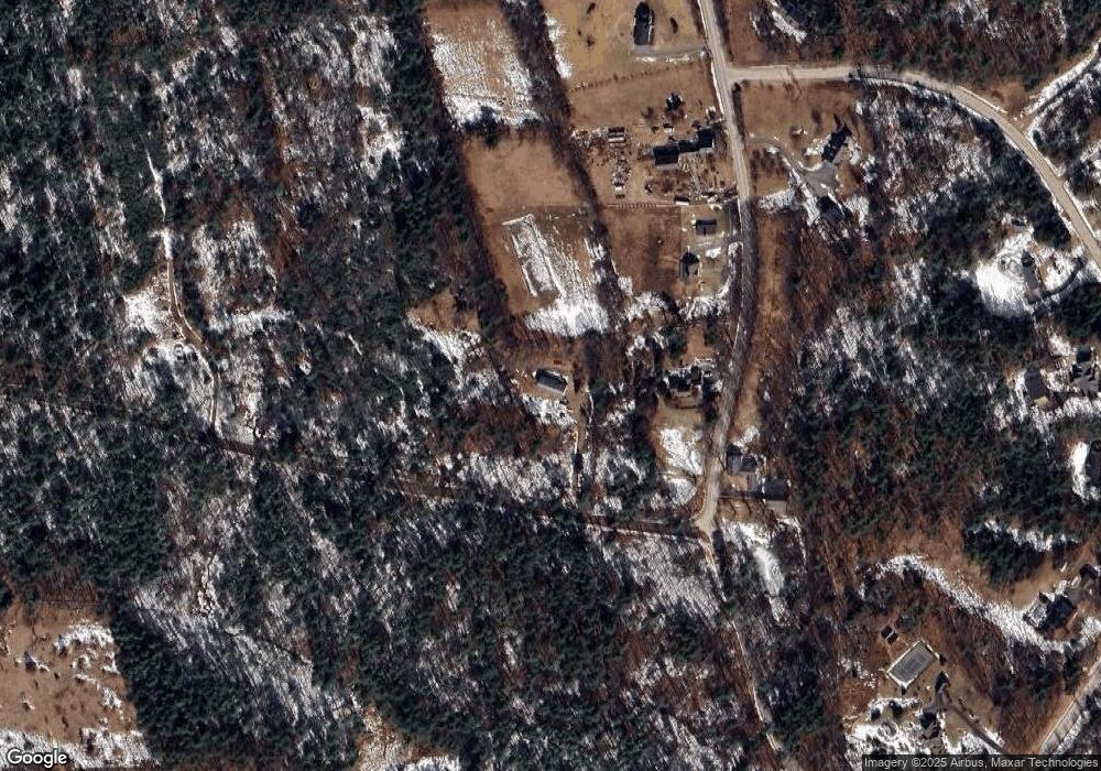
Map
Nearby Homes
- 29 S Bow Dunbarton Rd
- 165 Robert Rogers Rd
- 500 E Dunbarton Rd
- 30 Ledgewood Dr
- 30 Horizon Dr
- 0 Fairway Dr Unit 11
- 99 Brown Hill Rd
- 3 Abbey Rd
- 1003 School St
- 0 Brown Hill Rd Unit 5032600
- 163 Woodview Way Unit 2
- 192 Grapevine Rd
- 211 Woodview Way
- 237 Woodview Way
- 78 Woodview Way
- 63 Woodview Way
- 264 Woodview Way
- 104 White Rock Hill Rd
- 55 Forestedge Way
- 25 Forestedge Way Unit 25
- 1153 Montalona Rd
- 1156 Montalona Rd
- 1139 Montalona Rd
- 1135 Montalona Rd
- 0 Montalona Rd Unit 4624415
- 0 Montalona Rd Unit C6-2-5 4733437
- 0 Montalona Rd Unit C6-2-4
- 00 Montalona Rd
- 1140 Montalona Rd
- 1 Morse Rd
- 65 Jay Dr
- 2 Morse Rd
- 19 Jay Dr
- 31 Jay Dr
- 41 Jay Dr
- 1121 Montalona Rd
- 53 Jay Dr
- 5 Morse Rd
- 18 Jay Dr
- 1119 Montalona Rd
Your Personal Tour Guide
Ask me questions while you tour the home.