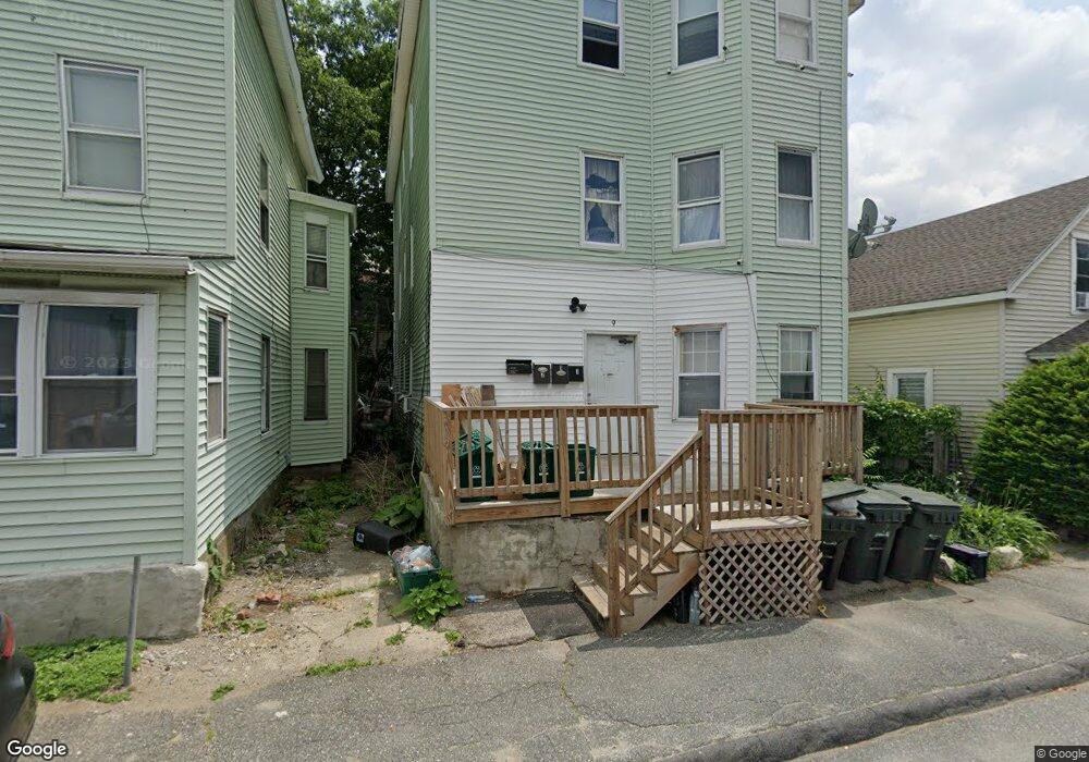
9 Liberty St Unit 3 Worcester, MA 01605
Bell Hill NeighborhoodEstimated Value: $189,000 - $238,000
2
Beds
1
Bath
900
Sq Ft
$232/Sq Ft
Est. Value
About This Home
This home is located at 9 Liberty St Unit 3, Worcester, MA 01605 and is currently estimated at $208,958, approximately $232 per square foot. 9 Liberty St Unit 3 is a home located in Worcester County with nearby schools including Jacob Hiatt Magnet School, Chandler Magnet, and Worcester East Middle School.
Ownership History
Date
Name
Owned For
Owner Type
Purchase Details
Closed on
Oct 4, 2021
Sold by
Nunez Rosa
Bought by
Smith Keenan and Dasilva-Smith Daisy
Current Estimated Value
Home Financials for this Owner
Home Financials are based on the most recent Mortgage that was taken out on this home.
Original Mortgage
$102,000
Outstanding Balance
$93,014
Interest Rate
2.8%
Mortgage Type
Purchase Money Mortgage
Estimated Equity
$115,944
Purchase Details
Closed on
Oct 30, 2008
Sold by
Smith Keenan
Bought by
Nunez Rosa P
Home Financials for this Owner
Home Financials are based on the most recent Mortgage that was taken out on this home.
Original Mortgage
$155,200
Interest Rate
5.83%
Mortgage Type
Purchase Money Mortgage
Create a Home Valuation Report for This Property
The Home Valuation Report is an in-depth analysis detailing your home's value as well as a comparison with similar homes in the area
Home Values in the Area
Average Home Value in this Area
Purchase History
| Date | Buyer | Sale Price | Title Company |
|---|---|---|---|
| Smith Keenan | $120,000 | None Available | |
| Nunez Rosa P | $160,000 | -- |
Source: Public Records
Mortgage History
| Date | Status | Borrower | Loan Amount |
|---|---|---|---|
| Open | Smith Keenan | $102,000 | |
| Previous Owner | Nunez Rosa P | $155,200 |
Source: Public Records
Tax History Compared to Growth
Tax History
| Year | Tax Paid | Tax Assessment Tax Assessment Total Assessment is a certain percentage of the fair market value that is determined by local assessors to be the total taxable value of land and additions on the property. | Land | Improvement |
|---|---|---|---|---|
| 2025 | $1,672 | $126,800 | $0 | $126,800 |
| 2024 | $1,544 | $112,300 | $0 | $112,300 |
| 2023 | $1,410 | $98,300 | $0 | $98,300 |
| 2022 | $983 | $64,600 | $0 | $64,600 |
| 2021 | $993 | $61,000 | $0 | $61,000 |
| 2020 | $1,125 | $66,200 | $0 | $66,200 |
| 2019 | $1,157 | $64,300 | $0 | $64,300 |
| 2018 | $1,172 | $62,000 | $0 | $62,000 |
| 2017 | $1,267 | $65,900 | $0 | $65,900 |
| 2016 | $1,358 | $65,900 | $0 | $65,900 |
| 2015 | $1,323 | $65,900 | $0 | $65,900 |
| 2014 | $1,288 | $65,900 | $0 | $65,900 |
Source: Public Records
Map
Nearby Homes