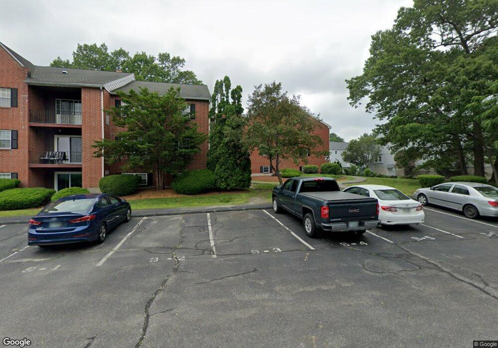
9 Louisburg Square Nashua, NH 03060
Southeast Nashua NeighborhoodEstimated Value: $271,000 - $332,000
2
Beds
2
Baths
980
Sq Ft
$300/Sq Ft
Est. Value
About This Home
This home is located at 9 Louisburg Square, Nashua, NH 03060 and is currently estimated at $293,870, approximately $299 per square foot. 9 Louisburg Square is a home located in Hillsborough County with nearby schools including Sunset Heights Elementary School, Elm Street Middle School, and Nashua High School South.
Ownership History
Date
Name
Owned For
Owner Type
Purchase Details
Closed on
Jun 3, 2021
Sold by
Vogt Marc C
Bought by
Zeng Qingwei
Current Estimated Value
Purchase Details
Closed on
Aug 17, 2007
Sold by
Mcgowan Christopher W
Bought by
Drake Andrea A
Home Financials for this Owner
Home Financials are based on the most recent Mortgage that was taken out on this home.
Original Mortgage
$130,625
Interest Rate
6.67%
Mortgage Type
Purchase Money Mortgage
Purchase Details
Closed on
Jul 1, 1987
Bought by
Vogt Marc C
Create a Home Valuation Report for This Property
The Home Valuation Report is an in-depth analysis detailing your home's value as well as a comparison with similar homes in the area
Home Values in the Area
Average Home Value in this Area
Purchase History
| Date | Buyer | Sale Price | Title Company |
|---|---|---|---|
| Zeng Qingwei | $195,000 | None Available | |
| Drake Andrea A | $137,500 | -- | |
| Vogt Marc C | $90,000 | -- |
Source: Public Records
Mortgage History
| Date | Status | Borrower | Loan Amount |
|---|---|---|---|
| Previous Owner | Vogt Marc C | $130,625 | |
| Previous Owner | Vogt Marc C | $35,000 |
Source: Public Records
Tax History Compared to Growth
Tax History
| Year | Tax Paid | Tax Assessment Tax Assessment Total Assessment is a certain percentage of the fair market value that is determined by local assessors to be the total taxable value of land and additions on the property. | Land | Improvement |
|---|---|---|---|---|
| 2024 | $4,519 | $284,200 | $0 | $284,200 |
| 2023 | $3,812 | $209,100 | $0 | $209,100 |
| 2022 | $3,778 | $209,100 | $0 | $209,100 |
| 2021 | $2,930 | $126,200 | $0 | $126,200 |
| 2020 | $2,853 | $126,200 | $0 | $126,200 |
| 2019 | $2,746 | $126,200 | $0 | $126,200 |
| 2018 | $2,677 | $126,200 | $0 | $126,200 |
| 2017 | $2,618 | $101,500 | $0 | $101,500 |
| 2016 | $2,545 | $101,500 | $0 | $101,500 |
| 2015 | $2,490 | $101,500 | $0 | $101,500 |
| 2014 | $2,441 | $101,500 | $0 | $101,500 |
Source: Public Records
Map
Nearby Homes
- 9 Louisburg Square Unit U12
- 73 Bluestone Dr
- 113 Bluestone Dr
- 1 Louisburg Square Unit 2
- 5 Autumn Leaf Dr Unit 13
- 4 April Dr
- H2 Black Oak Dr Unit 2
- 130 Linton St
- 98 Peele Rd
- 6 Heritage Village Dr Unit U408
- 7 Fairhaven Rd
- 10 Sutherland Way Unit U20
- 43b River Rd
- 16 Emerson Rd
- 30 Clearview Dr
- 12 Strawberry Bank Rd Unit 14
- 29 Dickens St
- 28 Timberline Dr
- 29 Hawthorne Village Rd Unit U357
- 2 Belgian Place
- 9 Louisburg Square Unit 1
- 9 Louisburg Square Unit U9
- 9 Louisburg Square Unit U8
- 9 Louisburg Square Unit U7
- 9 Louisburg Square Unit U6
- 9 Louisburg Square Unit U5
- 9 Louisburg Square Unit U4
- 9 Louisburg Square Unit U3
- 9 Louisburg Square Unit U2
- 9 Louisburg Square Unit U11
- 9 Louisburg Square Unit U10
- 9 Louisburg Square Unit U1
- 9 Louisburg Square Unit 6
- 9 Louisburg Square Unit 7
- 9 Louisburg Square Unit 8
- 9 Louisburg Square Unit 9
- 9 Louisburg Square Unit 4
- 9 Louisburg Sq U11 Square Unit 11
- 14 Bluestone Dr
- 8-12 Louisburg Square St Unit 8-12