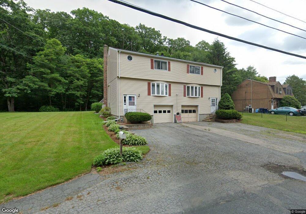
9 Macarthur Dr Unit B Millbury, MA 01527
Estimated Value: $192,000
2
Beds
2
Baths
1,320
Sq Ft
$145/Sq Ft
Est. Value
About This Home
This home is located at 9 Macarthur Dr Unit B, Millbury, MA 01527 and is currently priced at $192,000, approximately $145 per square foot. 9 Macarthur Dr Unit B is a home located in Worcester County with nearby schools including Elmwood Street Elementary School, Raymond E. Shaw Elementary School, and Millbury Junior/Senior High School.
Ownership History
Date
Name
Owned For
Owner Type
Purchase Details
Closed on
Jul 25, 2001
Sold by
Sasseville Carol A
Bought by
Nair Perumanath H
Current Estimated Value
Purchase Details
Closed on
Feb 2, 1995
Sold by
Kreell John S
Bought by
Sasseville Carol
Home Financials for this Owner
Home Financials are based on the most recent Mortgage that was taken out on this home.
Original Mortgage
$130,500
Interest Rate
9.13%
Mortgage Type
Purchase Money Mortgage
Create a Home Valuation Report for This Property
The Home Valuation Report is an in-depth analysis detailing your home's value as well as a comparison with similar homes in the area
Home Values in the Area
Average Home Value in this Area
Purchase History
| Date | Buyer | Sale Price | Title Company |
|---|---|---|---|
| Nair Perumanath H | $146,000 | -- | |
| Sasseville Carol | $145,000 | -- |
Source: Public Records
Mortgage History
| Date | Status | Borrower | Loan Amount |
|---|---|---|---|
| Previous Owner | Sasseville Carol | $130,500 |
Source: Public Records
Tax History
| Year | Tax Paid | Tax Assessment Tax Assessment Total Assessment is a certain percentage of the fair market value that is determined by local assessors to be the total taxable value of land and additions on the property. | Land | Improvement |
|---|---|---|---|---|
| 2021 | $3,529 | $228,700 | $0 | $228,700 |
| 2020 | $2,871 | $187,300 | $0 | $187,300 |
| 2019 | $2,843 | $179,400 | $0 | $179,400 |
| 2018 | $2,931 | $179,400 | $0 | $179,400 |
| 2017 | $2,811 | $171,100 | $0 | $171,100 |
| 2016 | $2,494 | $151,500 | $0 | $151,500 |
| 2015 | $2,617 | $159,000 | $0 | $159,000 |
| 2014 | $2,355 | $137,700 | $0 | $137,700 |
Source: Public Records
Map
Nearby Homes
- 2 Diane St
- 12 Irene Ct
- 25 Upton St
- 300 Millbury Ave
- 2 Wilson Rd Unit B
- 2 Wilson Rd Unit A
- 11 Maplewood Rd
- 1459 Grafton Rd
- 4 John Dr
- 5 Ann Dr Unit 5
- 2 Riverlin Pkwy
- 6 Nathaniel St
- 5 Lincoln Ln Unit 5
- 7 Clarissa St
- 9 Marissa Cir
- 1195 Grafton St Unit 29
- 1195 Grafton St Unit 19
- 1195 Grafton St Unit 39
- 12 Bruce St
- 47 Pointe Rok Dr Unit 47,G
- 9 Macarthur Dr Unit A
- 9 Macarthur Dr
- 9 Macarthur Dr Unit B
- 9 Macarthur Dr Unit 9A
- 9 Macarthur Dr Unit 9B
- 11 Macarthur Dr Unit A
- 11 Macarthur Dr Unit B
- 11 Macarthur Dr
- 11 B Macarthur Dr
- 8 Macarthur Dr
- 13 Macarthur Dr Unit A
- 13 Macarthur Dr Unit B
- 4 Tiffany Cir
- 3 Tiffany Cir
- 2 Tiffany Cir
- 1 Tiffany Cir
- 1 May St
- 15 Macarthur Dr
- 6 Macarthur Dr
- 7 Tiffany Cir
Your Personal Tour Guide
Ask me questions while you tour the home.