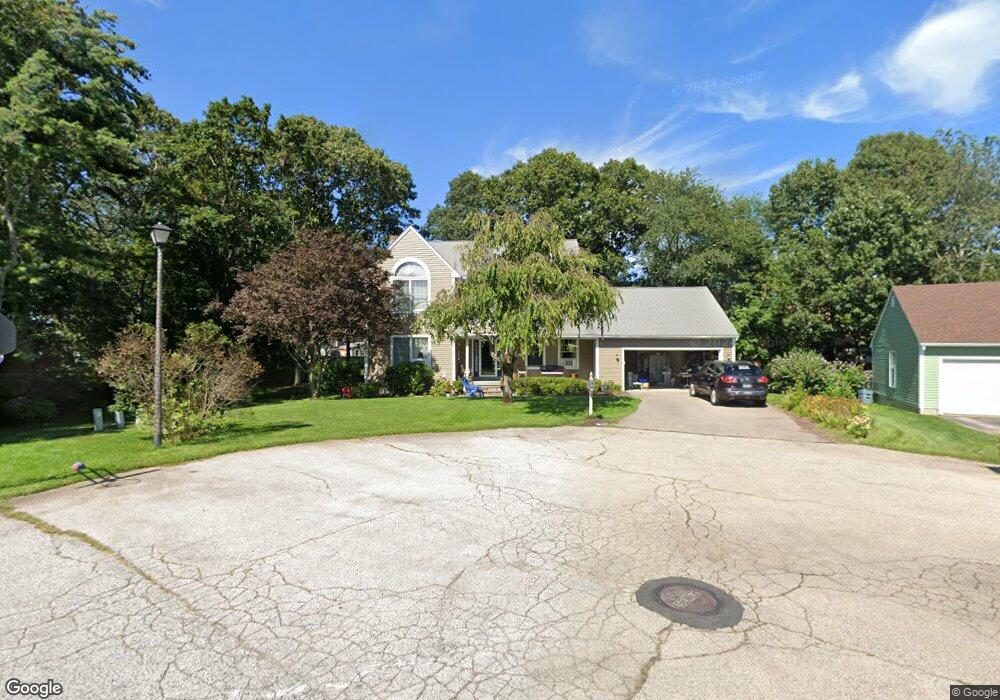
9 Meadow Cir Barrington, RI 02806
Hampden Meadows NeighborhoodEstimated Value: $898,441 - $1,207,000
4
Beds
3
Baths
2,862
Sq Ft
$360/Sq Ft
Est. Value
About This Home
This home is located at 9 Meadow Cir, Barrington, RI 02806 and is currently estimated at $1,031,360, approximately $360 per square foot. 9 Meadow Cir is a home located in Bristol County with nearby schools including Barrington High School, Barrington Christian Academy, and St. Andrews School.
Ownership History
Date
Name
Owned For
Owner Type
Purchase Details
Closed on
Jun 16, 2003
Sold by
Christman Mark
Bought by
Rasnick Martin and Rasnick Karen
Current Estimated Value
Purchase Details
Closed on
Jul 14, 1988
Sold by
Meadow Circle Assoc
Bought by
Christman Mark
Create a Home Valuation Report for This Property
The Home Valuation Report is an in-depth analysis detailing your home's value as well as a comparison with similar homes in the area
Home Values in the Area
Average Home Value in this Area
Purchase History
| Date | Buyer | Sale Price | Title Company |
|---|---|---|---|
| Rasnick Martin | $500,000 | -- | |
| Christman Mark | $479,000 | -- | |
| Christman Mark | $479,000 | -- |
Source: Public Records
Mortgage History
| Date | Status | Borrower | Loan Amount |
|---|---|---|---|
| Open | Christman Mark | $336,000 | |
| Closed | Christman Mark | $310,000 |
Source: Public Records
Tax History Compared to Growth
Tax History
| Year | Tax Paid | Tax Assessment Tax Assessment Total Assessment is a certain percentage of the fair market value that is determined by local assessors to be the total taxable value of land and additions on the property. | Land | Improvement |
|---|---|---|---|---|
| 2025 | $10,922 | $712,000 | $338,000 | $374,000 |
| 2024 | $10,502 | $712,000 | $338,000 | $374,000 |
| 2023 | $10,231 | $504,000 | $239,000 | $265,000 |
| 2022 | $9,904 | $504,000 | $239,000 | $265,000 |
| 2021 | $9,652 | $504,000 | $239,000 | $265,000 |
| 2020 | $9,698 | $464,000 | $213,000 | $251,000 |
| 2019 | $9,326 | $464,000 | $213,000 | $251,000 |
| 2018 | $9,048 | $464,000 | $213,000 | $251,000 |
| 2017 | $9,300 | $465,000 | $209,500 | $255,500 |
| 2016 | $8,579 | $465,000 | $209,500 | $255,500 |
| 2015 | $8,486 | $465,000 | $209,500 | $255,500 |
| 2014 | $8,041 | $439,400 | $200,200 | $239,200 |
Source: Public Records
Map
Nearby Homes
- 2 Simmons Rd
- 15 George w Finnerty Rd
- 351 County Rd
- 205 Lincoln Ave
- 22 Mayfield Rd
- 292 Sowams Rd
- 27 Christine Dr
- 6 Kenmore Ct
- 7 Cheshire Dr
- 16 Highview Ave
- 5 Connor Ln
- 20 Burr Ave
- 53 Whipple Ave
- 6 Hazelton Rd
- 27 Rosedale Ave
- 381 Maple Ave
- 7 Carpenter Ave
- 249 Barneyville Rd
- 20 Townsend St
- 0 Lillis Ave