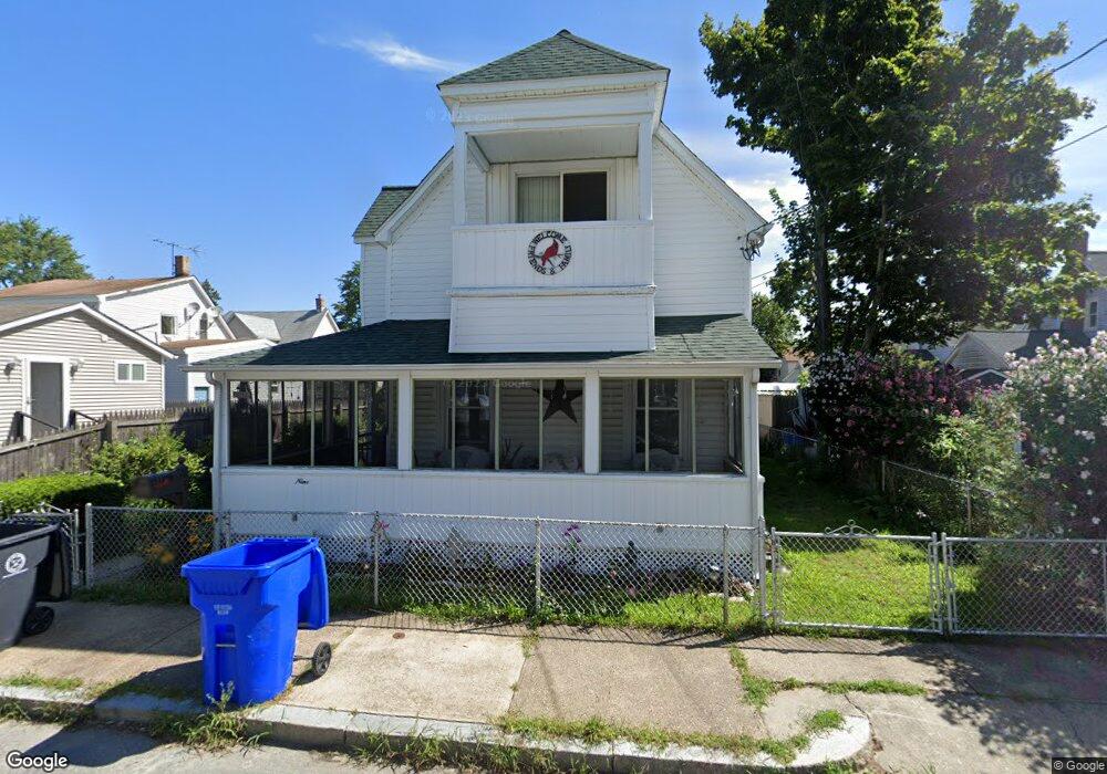
9 Narragansett Ave Riverside, RI 02915
Riverside NeighborhoodEstimated Value: $375,440 - $407,000
2
Beds
1
Bath
1,206
Sq Ft
$325/Sq Ft
Est. Value
About This Home
This home is located at 9 Narragansett Ave, Riverside, RI 02915 and is currently estimated at $391,360, approximately $324 per square foot. 9 Narragansett Ave is a home located in Providence County with nearby schools including East Providence High School, St Mary Academy-Bay View, and The Gordon School.
Ownership History
Date
Name
Owned For
Owner Type
Purchase Details
Closed on
Jan 30, 1989
Sold by
Andrade Anthony F
Bought by
Bertrand Leo O
Current Estimated Value
Home Financials for this Owner
Home Financials are based on the most recent Mortgage that was taken out on this home.
Original Mortgage
$76,300
Interest Rate
10.66%
Mortgage Type
Purchase Money Mortgage
Create a Home Valuation Report for This Property
The Home Valuation Report is an in-depth analysis detailing your home's value as well as a comparison with similar homes in the area
Home Values in the Area
Average Home Value in this Area
Purchase History
| Date | Buyer | Sale Price | Title Company |
|---|---|---|---|
| Bertrand Leo O | $84,000 | -- | |
| Bertrand Leo O | $84,000 | -- |
Source: Public Records
Mortgage History
| Date | Status | Borrower | Loan Amount |
|---|---|---|---|
| Open | Bertrand Leo O | $100,000 | |
| Closed | Bertrand Leo O | $76,300 |
Source: Public Records
Tax History Compared to Growth
Tax History
| Year | Tax Paid | Tax Assessment Tax Assessment Total Assessment is a certain percentage of the fair market value that is determined by local assessors to be the total taxable value of land and additions on the property. | Land | Improvement |
|---|---|---|---|---|
| 2025 | $4,241 | $324,500 | $80,400 | $244,100 |
| 2024 | $4,033 | $263,100 | $67,000 | $196,100 |
| 2023 | $3,883 | $263,100 | $67,000 | $196,100 |
| 2022 | $3,906 | $178,700 | $47,600 | $131,100 |
| 2021 | $3,842 | $178,700 | $47,100 | $131,600 |
| 2020 | $3,679 | $178,700 | $47,100 | $131,600 |
| 2019 | $3,578 | $178,700 | $47,100 | $131,600 |
| 2018 | $3,423 | $149,600 | $47,200 | $102,400 |
| 2017 | $3,347 | $149,600 | $47,200 | $102,400 |
| 2016 | $3,330 | $149,600 | $47,200 | $102,400 |
| 2015 | $3,316 | $144,500 | $48,100 | $96,400 |
| 2014 | $3,316 | $144,500 | $48,100 | $96,400 |
Source: Public Records
Map
Nearby Homes
- 88 Lincoln Ave
- 129 Cedar Ave
- 33 Pine St Unit 35
- 87 Bluff St
- 1 Holly St
- 17 Oak Ave
- 93 Narragansett Ave
- 1 Sabin St
- 129 Shore Rd
- 72 Stowe Ave
- 81 Sprague Ave
- 25 Arnold St
- 43 Bullocks Point Ave Unit 4C
- 31 Bullocks Point Ave Unit 2A
- 151 Willett Ave Unit 2
- 151 Willett Ave Unit 5
- 25 Bullocks Point Ave Unit 5C
- 57 Harris St
- 3 White Ave
- 1 Fales St
- 114 Maple Ave
- 120 Maple Ave
- 107 Oak Ave
- 19 Cypress St
- 110 Maple Ave
- 103 Oak Ave
- 106 Maple Ave
- 2 Narragansett Ave
- 97 Oak Ave
- 10 Narragansett Ave
- 5 Bluff St
- 113 Maple Ave Unit 2
- 113 Maple Ave
- 7 Bluff St
- 2123 Crescent Ave
- 18 Bluff St
- 121 Maple Ave
- 121 Maple Ave Unit 3
- 121 Maple Ave Unit 1
- 121 Maple Ave Unit 2