9 Nollet Dr Andover, MA 01810
Far West Andover NeighborhoodEstimated Value: $1,331,630 - $1,604,000
4
Beds
4
Baths
4,017
Sq Ft
$372/Sq Ft
Est. Value
About This Home
This home is located at 9 Nollet Dr, Andover, MA 01810 and is currently estimated at $1,495,658, approximately $372 per square foot. 9 Nollet Dr is a home located in Essex County with nearby schools including High Plain Elementary School, Wood Hill Middle School, and Andover High School.
Ownership History
Date
Name
Owned For
Owner Type
Purchase Details
Closed on
Nov 15, 2024
Sold by
Dykstra Kevin H and Dykstra Patricia A
Bought by
Dykstra Ft and Dykstra
Current Estimated Value
Purchase Details
Closed on
May 27, 1993
Sold by
Raven Rt
Bought by
Dystra Kevin H
Create a Home Valuation Report for This Property
The Home Valuation Report is an in-depth analysis detailing your home's value as well as a comparison with similar homes in the area
Home Values in the Area
Average Home Value in this Area
Purchase History
| Date | Buyer | Sale Price | Title Company |
|---|---|---|---|
| Dykstra Ft | -- | None Available | |
| Dykstra Ft | -- | None Available | |
| Dystra Kevin H | $360,000 | -- | |
| Dystra Kevin H | $360,000 | -- |
Source: Public Records
Mortgage History
| Date | Status | Borrower | Loan Amount |
|---|---|---|---|
| Previous Owner | Dystra Kevin H | $417,000 | |
| Previous Owner | Dystra Kevin H | $365,000 | |
| Previous Owner | Dystra Kevin H | $30,480 |
Source: Public Records
Tax History
| Year | Tax Paid | Tax Assessment Tax Assessment Total Assessment is a certain percentage of the fair market value that is determined by local assessors to be the total taxable value of land and additions on the property. | Land | Improvement |
|---|---|---|---|---|
| 2024 | $14,589 | $1,132,700 | $478,300 | $654,400 |
| 2023 | $13,753 | $1,006,800 | $408,900 | $597,900 |
| 2022 | $13,179 | $902,700 | $368,500 | $534,200 |
| 2021 | $12,669 | $828,600 | $335,200 | $493,400 |
| 2020 | $12,304 | $819,700 | $335,200 | $484,500 |
| 2019 | $12,115 | $793,400 | $316,400 | $477,000 |
| 2018 | $11,696 | $747,800 | $307,400 | $440,400 |
| 2017 | $11,248 | $741,000 | $301,500 | $439,500 |
| 2016 | $11,268 | $760,300 | $317,200 | $443,100 |
| 2015 | $11,030 | $736,800 | $317,200 | $419,600 |
Source: Public Records
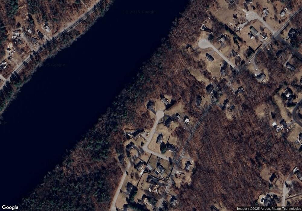
Map
Nearby Homes
- 322 River Rd
- 18 Ravens Bluff
- 2 Greybirch Rd
- 29 Stoneybrook Cir
- 46 Hopkins Cir
- 2 Francis Dr Unit 405
- 4 Francis Dr Unit 312
- 4 Francis Dr Unit 207
- 2 Francis Dr Unit 301
- 31 Varnum Ave
- 821 Merrimack Ave
- 30 Parker Rd
- 20 Mount Pleasant St
- 84 Tellier Way
- 935 Methuen St Unit 13
- 20 Mount Joy Dr
- 750 Brookside Dr Unit G
- 785 Broadway Rd
- 2 Weeping Willow Dr
- 206 Burnham Rd
- 11 Nollet Dr
- 5 Nollet Dr
- 15 Nollet Dr
- 3 Nollet Dr
- 7 Nollet Dr
- 1 Nollet Dr
- 329 River Rd
- 4 Nollet Dr
- 17 Nollet Dr
- 325 River Rd
- 325 River Rd Unit 1
- 345 River Rd
- 338 River Rd
- 338 River Rd
- 6 Nollet Dr
- 340 River Rd
- 340 River Rd Unit SI ID1059119P
- 340 River Rd Unit ID1059119P
- 340 River Rd Unit 2
- 323 River Rd
Your Personal Tour Guide
Ask me questions while you tour the home.