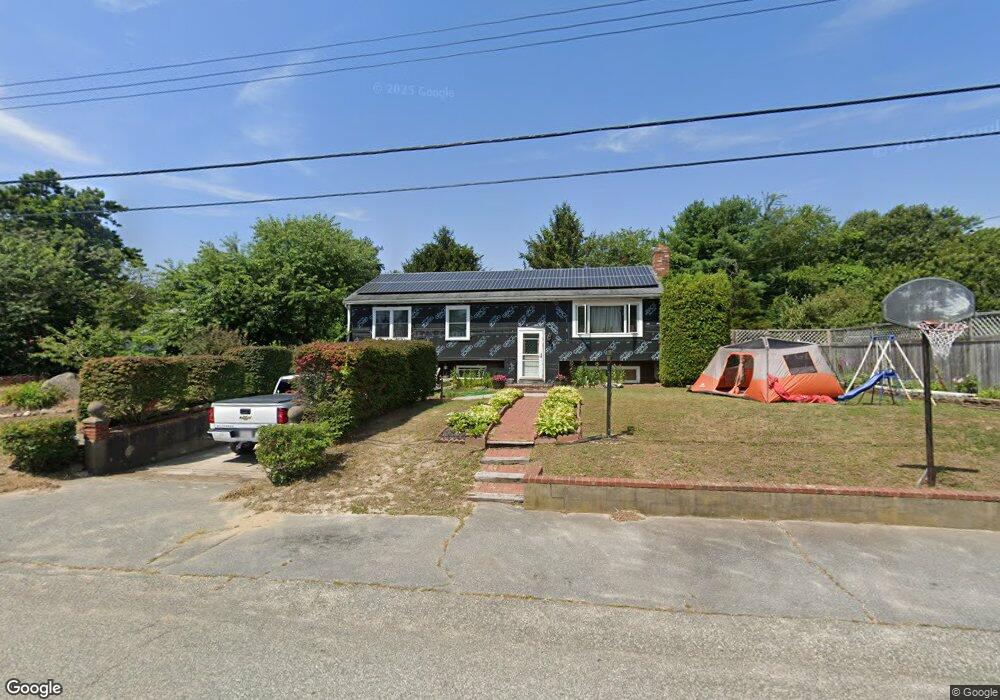
9 Pheasant Ave Wareham, MA 02571
Estimated Value: $453,000 - $492,000
3
Beds
2
Baths
1,144
Sq Ft
$415/Sq Ft
Est. Value
About This Home
This home is located at 9 Pheasant Ave, Wareham, MA 02571 and is currently estimated at $475,314, approximately $415 per square foot. 9 Pheasant Ave is a home located in Plymouth County.
Ownership History
Date
Name
Owned For
Owner Type
Purchase Details
Closed on
Jan 4, 1993
Sold by
Rockland Trust Co
Bought by
Higgins Stanley W and Higgins Laurie H
Current Estimated Value
Home Financials for this Owner
Home Financials are based on the most recent Mortgage that was taken out on this home.
Original Mortgage
$88,825
Interest Rate
8.32%
Mortgage Type
Purchase Money Mortgage
Create a Home Valuation Report for This Property
The Home Valuation Report is an in-depth analysis detailing your home's value as well as a comparison with similar homes in the area
Purchase History
| Date | Buyer | Sale Price | Title Company |
|---|---|---|---|
| Higgins Stanley W | $93,500 | -- |
Source: Public Records
Mortgage History
| Date | Status | Borrower | Loan Amount |
|---|---|---|---|
| Open | Higgins Stanley W | $91,700 | |
| Closed | Higgins Stanley W | $88,825 |
Source: Public Records
Tax History
| Year | Tax Paid | Tax Assessment Tax Assessment Total Assessment is a certain percentage of the fair market value that is determined by local assessors to be the total taxable value of land and additions on the property. | Land | Improvement |
|---|---|---|---|---|
| 2025 | $3,960 | $380,000 | $115,200 | $264,800 |
| 2024 | $4,079 | $363,200 | $91,600 | $271,600 |
| 2023 | $3,569 | $319,700 | $83,200 | $236,500 |
| 2022 | $3,569 | $270,800 | $83,200 | $187,600 |
| 2021 | $3,416 | $254,000 | $83,200 | $170,800 |
| 2020 | $3,368 | $254,000 | $83,200 | $170,800 |
| 2019 | $3,337 | $251,100 | $84,400 | $166,700 |
| 2018 | $3,315 | $243,200 | $84,400 | $158,800 |
| 2017 | $3,015 | $224,200 | $84,400 | $139,800 |
| 2016 | $2,905 | $214,700 | $84,400 | $130,300 |
| 2015 | $2,516 | $192,500 | $84,400 | $108,100 |
| 2014 | $2,670 | $207,800 | $80,100 | $127,700 |
Source: Public Records
Map
Nearby Homes
- 2697 Cranberry Hwy Unit 23
- 2711 Cranberry Hwy
- 2645 Cranberry Hwy Unit A
- 156 Sandwich Rd
- 103 Kimberly Ct
- 110 Mayflower Ridge Dr
- 55 Minot Ave Unit 55
- 10 Oak St
- 437 Main St
- 2838 Cranberry Hwy
- 0 Charge Pond Rd
- 124 Minot Ave Unit 1
- 7 Knowles Ave
- 9 Old Glen Charlie Rd
- 91 Agawam Lake Shore Dr
- 106 Circuit Ave
- 102 Maple Springs Rd
- 3 Hazel St
- 6 Bourne Terrace
- 3 Michael Dr
- 13 Pheasant Ave
- 1 Sandusky Dr Unit C-1
- 9 Partridge Path
- 2697 Cranberry Hwy Unit 9
- 2697 Cranberry Hwy Unit 8
- 2697 Cranberry Hwy Unit 7
- 2697 Cranberry Hwy Unit 6
- 2697 Cranberry Hwy Unit 5
- 2697 Cranberry Hwy Unit 4
- 2697 Cranberry Hwy Unit 3
- 2697 Cranberry Hwy Unit 2
- 2697 Cranberry Hwy Unit 16
- 2697 Cranberry Hwy Unit 15
- 2697 Cranberry Hwy Unit 14
- 2697 Cranberry Hwy Unit 12
- 2697 Cranberry Hwy Unit 11
- 2697 Cranberry Hwy Unit 10
- 2697 Cranberry Hwy Unit 1
- 2697 Cranberry Hwy Unit 25
- 2697 Cranberry Hwy Unit 26
Your Personal Tour Guide
Ask me questions while you tour the home.