9 Pilot Rock Ln Riverside, CT 06878
Estimated Value: $4,766,000 - $5,708,000
5
Beds
5
Baths
5,022
Sq Ft
$1,043/Sq Ft
Est. Value
About This Home
This home is located at 9 Pilot Rock Ln, Riverside, CT 06878 and is currently estimated at $5,239,200, approximately $1,043 per square foot. 9 Pilot Rock Ln is a home located in Fairfield County with nearby schools including Riverside School, Eastern Middle School, and Greenwich High School.
Ownership History
Date
Name
Owned For
Owner Type
Purchase Details
Closed on
Aug 25, 1997
Sold by
Carlson Peter E and Carlson Elizabeth P
Bought by
Carlson Peter E and Carlson Susan G
Current Estimated Value
Create a Home Valuation Report for This Property
The Home Valuation Report is an in-depth analysis detailing your home's value as well as a comparison with similar homes in the area
Home Values in the Area
Average Home Value in this Area
Purchase History
| Date | Buyer | Sale Price | Title Company |
|---|---|---|---|
| Carlson Peter E | $1,100,000 | -- |
Source: Public Records
Mortgage History
| Date | Status | Borrower | Loan Amount |
|---|---|---|---|
| Open | Carlson Peter E | $250,000 | |
| Open | Carlson Peter E | $789,000 | |
| Closed | Carlson Peter E | $417,000 | |
| Closed | Carlson Peter E | $590,000 |
Source: Public Records
Tax History
| Year | Tax Paid | Tax Assessment Tax Assessment Total Assessment is a certain percentage of the fair market value that is determined by local assessors to be the total taxable value of land and additions on the property. | Land | Improvement |
|---|---|---|---|---|
| 2025 | $27,358 | $2,272,270 | $1,503,810 | $768,460 |
| 2024 | $26,608 | $2,272,270 | $1,503,810 | $768,460 |
| 2023 | $25,881 | $2,272,270 | $1,503,810 | $768,460 |
| 2022 | $25,232 | $2,236,920 | $1,503,810 | $733,110 |
| 2021 | $26,908 | $2,321,620 | $1,455,580 | $866,040 |
| 2020 | $26,908 | $2,321,620 | $1,455,580 | $866,040 |
| 2019 | $27,202 | $2,328,900 | $1,455,580 | $873,320 |
| 2018 | $26,480 | $2,328,900 | $1,455,580 | $873,320 |
| 2017 | $26,480 | $2,328,900 | $1,455,580 | $873,320 |
| 2016 | $26,084 | $2,328,900 | $1,455,580 | $873,320 |
| 2015 | $30,716 | $2,725,450 | $2,117,360 | $608,090 |
| 2014 | $29,898 | $2,725,450 | $2,117,360 | $608,090 |
Source: Public Records
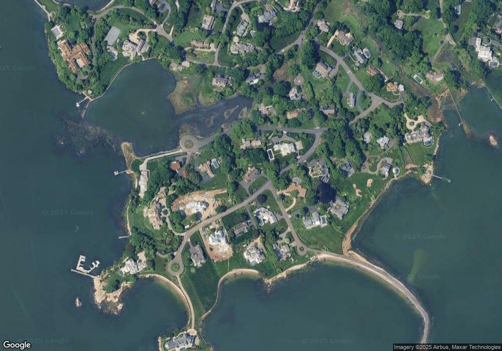
Map
Nearby Homes
- 177 Indian Head Rd
- 545 Indian Field Rd
- 7 Indian Head Rd
- 26 Glen Avon Dr
- 40 Bruce Park Dr
- 21 Lake Dr
- 25 West Way
- 16 Windrose Way
- 11 Field Rd
- 247 Riverside Ave
- 189 Shore Rd
- 11 River Rd Unit 119
- 9 River Rd Unit 418
- 10 Lockwood Rd
- 7 River Rd Unit Boat Slip A-2
- 7 River Rd Unit Boat Slip D1
- 7 River Rd Unit Boat Slip E3
- 7 River Rd Unit Boat Slip H3
- 15 River Rd Unit 222
- 1 Bramble Ln
- 16 Cherry Tree Ln
- 22 Cherry Tree Ln
- 2 Seagate Rd
- 5 Pilot Rock Ln
- 1 Seagate Rd
- 14 Pilot Rock Ln
- 15 Pilot Rock Ln
- 24 Cherry Tree Ln
- 17 Cherry Tree Ln
- 11 Cherry Tree Ln
- 10 Pilot Rock Ln
- 18 Pilot Rock Ln
- 4 Pilot Rock Ln
- 10 Pilot Rock Ln
- 8 Seagate Rd
- 16 Indian Point Ln
- 5 Seagate Rd
- 12 Indian Point Ln
- 2 Bridle Path Ln
- 19 Pilot Rock Ln
Your Personal Tour Guide
Ask me questions while you tour the home.