Estimated Value: $986,000 - $1,350,000
4
Beds
3
Baths
2,536
Sq Ft
$446/Sq Ft
Est. Value
About This Home
This home is located at 9 Shady Ln, Acton, MA 01720 and is currently estimated at $1,131,193, approximately $446 per square foot. 9 Shady Ln is a home located in Middlesex County with nearby schools including Acton-Boxborough Regional High School and The Imago School.
Ownership History
Date
Name
Owned For
Owner Type
Purchase Details
Closed on
Aug 30, 1999
Sold by
Hughes Joel A and Hughes Sally A
Bought by
Luciani James and Luciani Joan E
Current Estimated Value
Home Financials for this Owner
Home Financials are based on the most recent Mortgage that was taken out on this home.
Original Mortgage
$377,200
Outstanding Balance
$109,337
Interest Rate
7.53%
Mortgage Type
Purchase Money Mortgage
Estimated Equity
$1,021,856
Purchase Details
Closed on
Jul 28, 1994
Sold by
Maple Creek Farm Inc
Bought by
Hughes Joel A and Hughes Sally A
Create a Home Valuation Report for This Property
The Home Valuation Report is an in-depth analysis detailing your home's value as well as a comparison with similar homes in the area
Home Values in the Area
Average Home Value in this Area
Purchase History
| Date | Buyer | Sale Price | Title Company |
|---|---|---|---|
| Luciani James | $471,500 | -- | |
| Hughes Joel A | $350,000 | -- |
Source: Public Records
Mortgage History
| Date | Status | Borrower | Loan Amount |
|---|---|---|---|
| Open | Hughes Joel A | $200,700 | |
| Closed | Hughes Joel A | $205,000 | |
| Open | Hughes Joel A | $377,200 |
Source: Public Records
Tax History Compared to Growth
Tax History
| Year | Tax Paid | Tax Assessment Tax Assessment Total Assessment is a certain percentage of the fair market value that is determined by local assessors to be the total taxable value of land and additions on the property. | Land | Improvement |
|---|---|---|---|---|
| 2025 | $16,279 | $949,200 | $342,000 | $607,200 |
| 2024 | $15,176 | $910,400 | $342,000 | $568,400 |
| 2023 | $14,810 | $843,400 | $310,800 | $532,600 |
| 2022 | $13,988 | $719,200 | $270,200 | $449,000 |
| 2021 | $14,096 | $696,800 | $250,100 | $446,700 |
| 2020 | $14,122 | $734,000 | $250,100 | $483,900 |
| 2019 | $13,127 | $677,700 | $250,100 | $427,600 |
| 2018 | $12,872 | $664,200 | $250,100 | $414,100 |
| 2017 | $12,719 | $667,300 | $250,100 | $417,200 |
| 2016 | $12,432 | $646,500 | $250,100 | $396,400 |
| 2015 | $12,184 | $639,600 | $250,100 | $389,500 |
| 2014 | $11,699 | $601,500 | $250,100 | $351,400 |
Source: Public Records
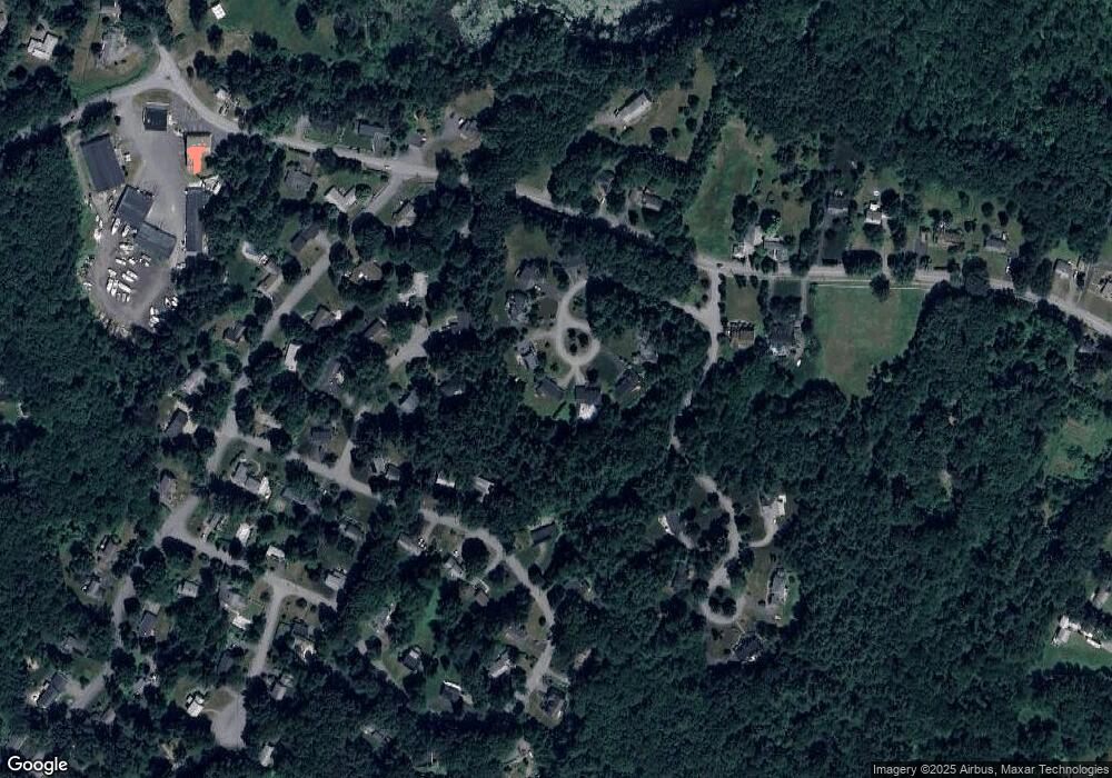
Map
Nearby Homes
- 12 Olde Lantern Rd
- 92 Willow St Unit 3
- 92 Willow St Unit 2
- 90 Willow St Unit 1
- 68 Macintosh Ln
- 134 Russet Ln
- 96 Cedarwood Rd
- 3 Heather Hill Rd
- 89 Windsor Ave
- 285 Central St Unit 285
- 4,7,8 Crestwood Ln
- 5 Elm St Unit 1
- 9 Elm St Unit 1
- 31 Mohawk Dr
- 207 Boxboro Rd
- 777 Depot Rd
- 169 Main St
- 19 Railroad St Unit C2
- 4 Huron Rd
- 220 Red Acre Rd
- 6 Shady Ln
- 7 Shady Ln
- 10 Paul Revere Rd
- 5 Betsy Ross Cir
- 5 Shady Ln
- 8 Paul Revere Rd
- 7 Betsy Ross Cir
- 12 Paul Revere Rd
- 3 Betsy Ross Cir
- 1 Shady Ln
- 6 Paul Revere Rd
- 8 Betsy Ross Cir
- 7 Woodfield Rd
- 6 Betsy Ross Cir
- 9 Paul Revere Rd
- 14 Paul Revere Rd
- 11 Paul Revere Rd
- 148 Summer St
- 7 Paul Revere Rd
- 4 Betsy Ross Cir